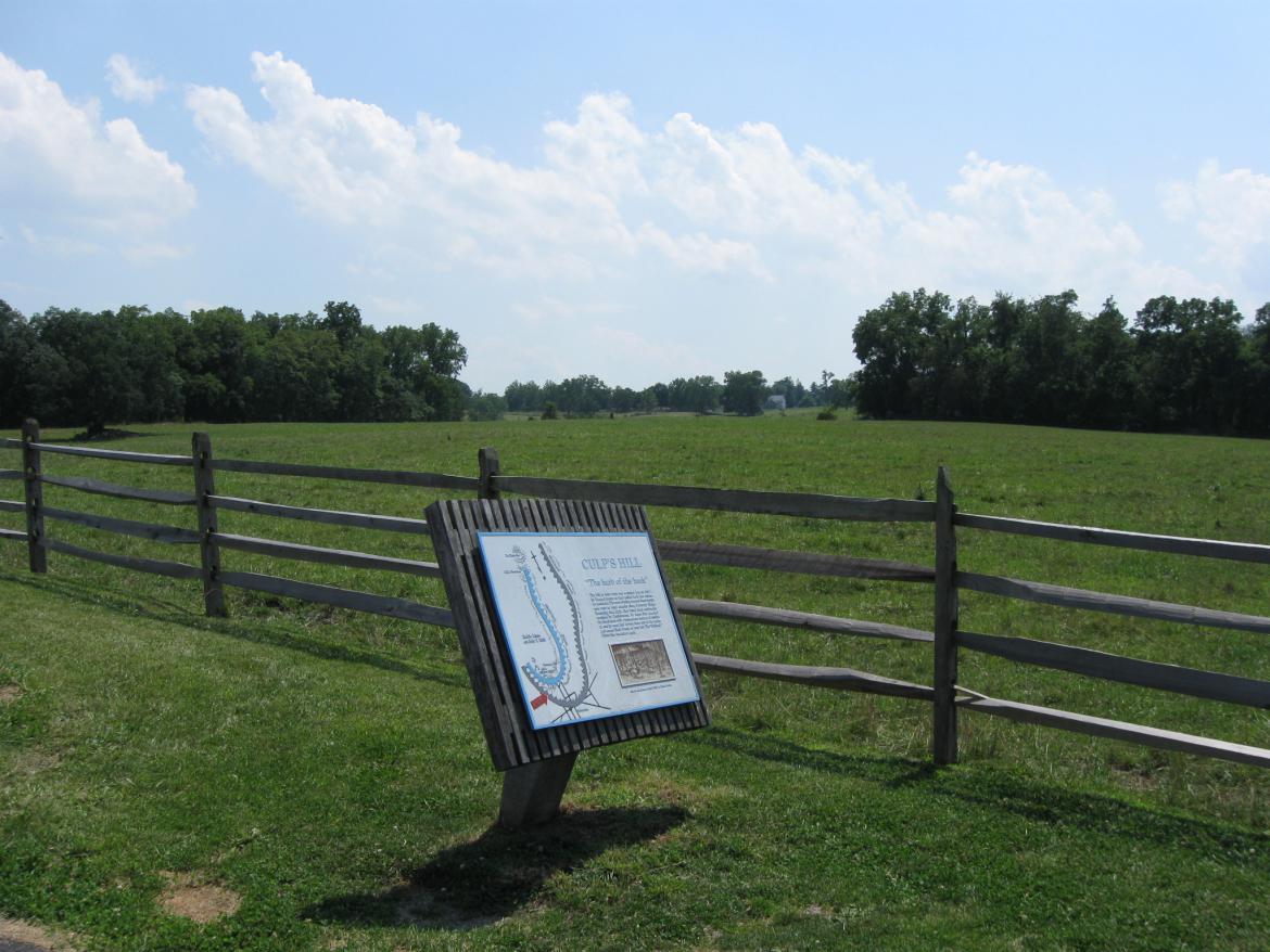
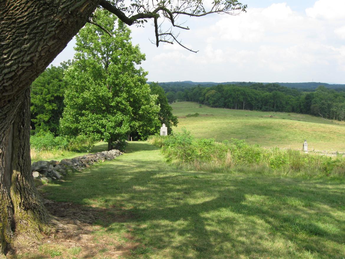
Trees have been cleared in the fields southwest of the “Retro” Fishhook Wayside northeast of Culp’s Hill. This view was taken facing southwest at approximately 2:00 PM on Tuesday, July 28, 2009.
The National Park Service has removed trees in the fields southwest of East Confederate Avenue and is currently clearing trees along Williams Avenue near Stevens’ Knoll in Gettysburg National Military Park. We’ll show you the new views afforded by this cutting. 
The view now afforded from East Confederate Avenue to East Cemetery Hill. Keep an eye on the large tree in the field to the left of the frame. This view was taken facing southwest at approximately 2:00 PM on Tuesday, July 28, 2009.
We’ll cross the fields to give you an idea of what advancing over them would have been like. This view was taken facing southwest at approximately 2:00 PM on Tuesday, July 28, 2009.
In this area, the 57th North Carolina marched toward East Cemetery Hill the night of July 2, 1863. This view was taken facing southwest at approximately 2:00 PM on Tuesday, July 28, 2009.
From here you can just make out the Evergreen Cemetery Gatehouse in the far right background. This view was taken facing southwest at approximately 2:00 PM on Tuesday, July 28, 2009.
Here’s a panorama that shows the extent of the tree removal in this area and the view now afforded of East Cemetery Hill. This view was taken facing at approximately 2:00 PM on Tuesday, July 28, 2009.
We’re now standing on Stevens’ Knoll (McKnight’s Hill). Trees are presently being removed along Williams Avenue. This view was taken facing southeast at approximately 2:00 PM on Tuesday, July 28, 2009.
Turning to the north from the same vantage point as the previous photograph. This view was taken facing north at approximately 2:00 PM on Tuesday, July 28, 2009.
The wayside here contains an artist’s rendition of the infantry assault on East Cemetery Hill. This view was taken facing north at approximately 2:00 PM on Tuesday, July 28, 2009.
This view was taken facing north at approximately 2:00 PM on Tuesday, July 28, 2009.
This view was taken facing north at approximately 2:00 PM on Tuesday, July 28, 2009.
The pile of logs in this picture sits in what would have been the Old Baltimore Pike (Brickyard Lane) during July of 1863. The rock wall along the right of the photograph would have extended along the east side of the Pike. This view was taken north facing at approximately 2:00 PM on Tuesday, July 28, 2009.
A view looking northeast towards East Confederate Avenue from East Cemetery Hill. This view was taken facing northeast at approximately 2:00 PM on Tuesday, July 28, 2009.
A better view with the Camp Letterman blue water tower in visible near the horizon. Notice the large tree in the field (center background). This view was taken facing northeast approximately 2:00 PM on Tuesday, July 28, 2009.
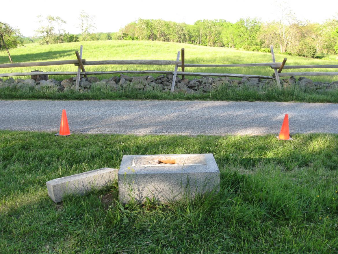
In May we took this image of the vandalized 153rd Pennsylvania Infantry monument. Notice the trees in the left background, which have now been cleared. This view was taken facing northeast at approximately 6:30 PM on Monday, May 18, 2009.
The present view. This view was taken facing northeast at approximately 2:00 PM on Tuesday, July 28, 2009.
A final view from East Cemetery Hill. The monument to Cooper’s Pennsylvania Battery is in the foreground. This view was taken facing northeast at approximately 2:00 PM on Tuesday, July 28, 2009.


