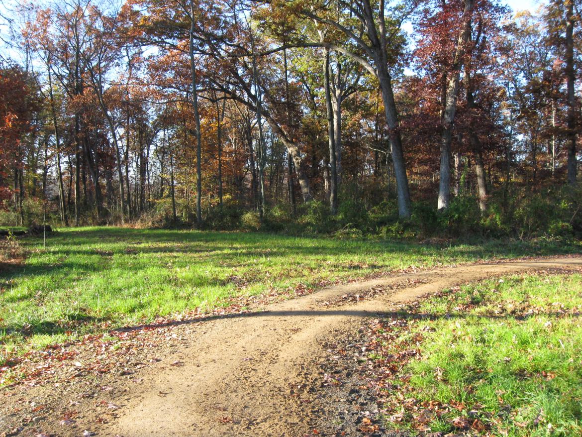
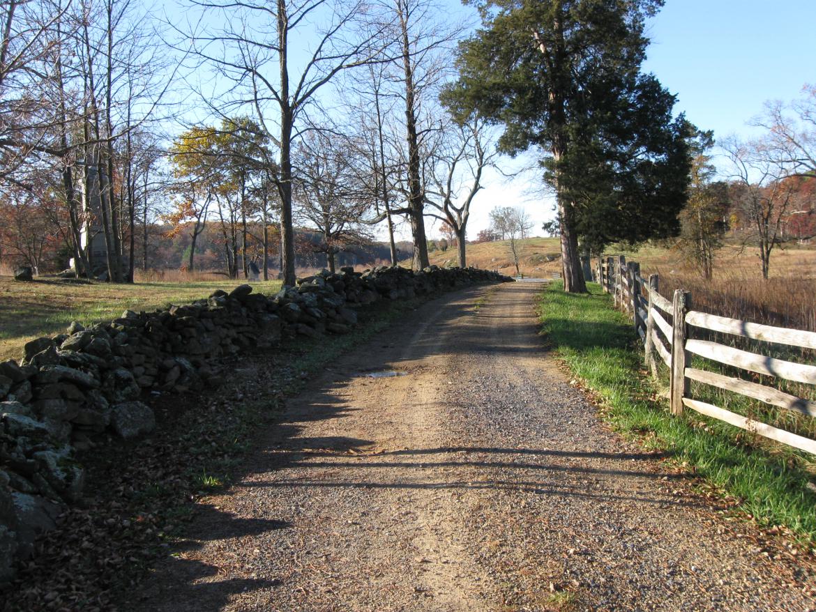
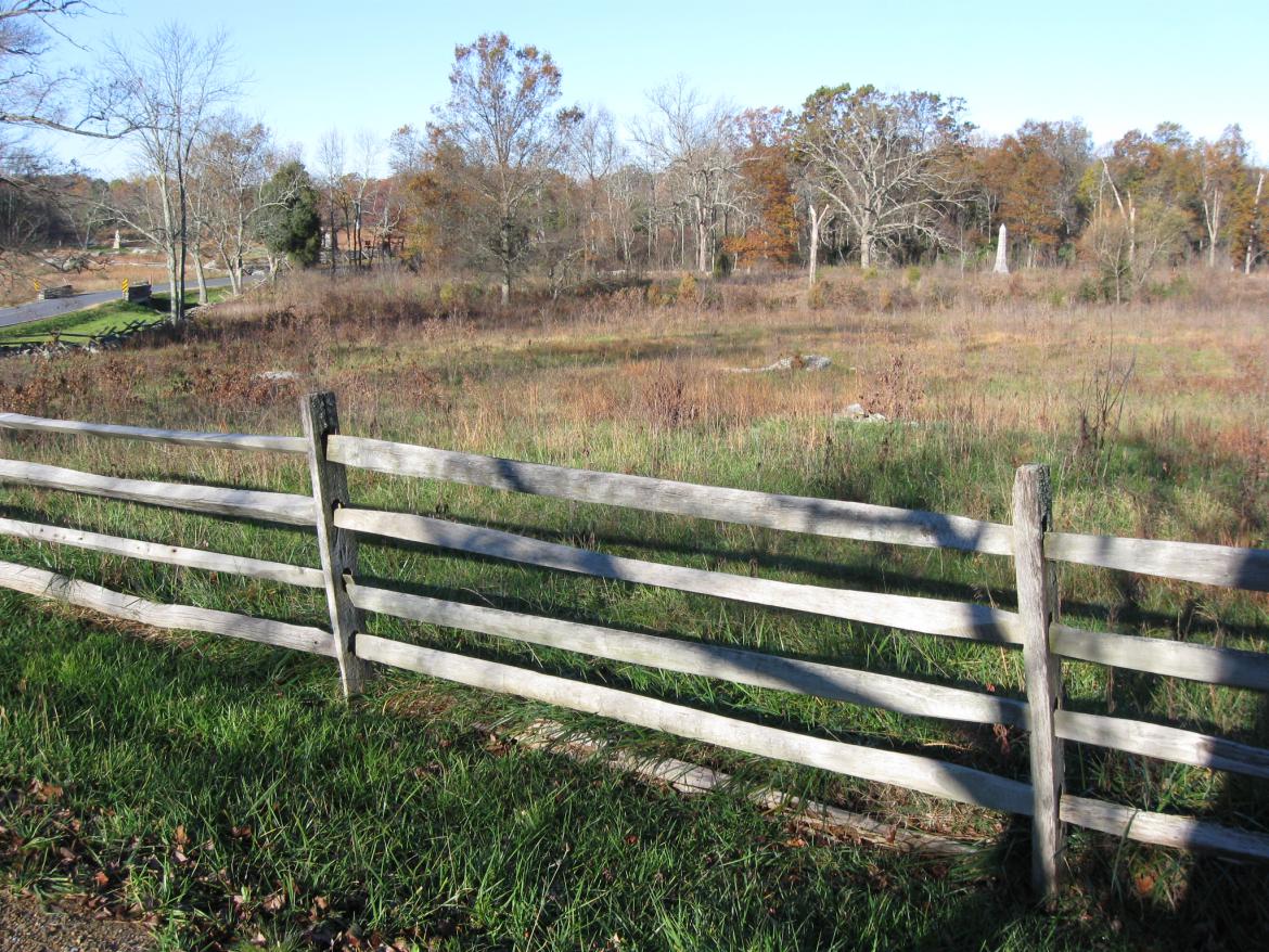
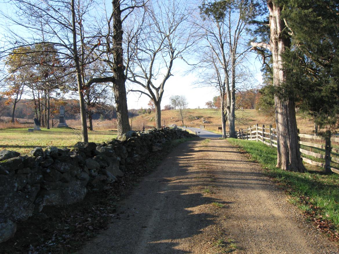
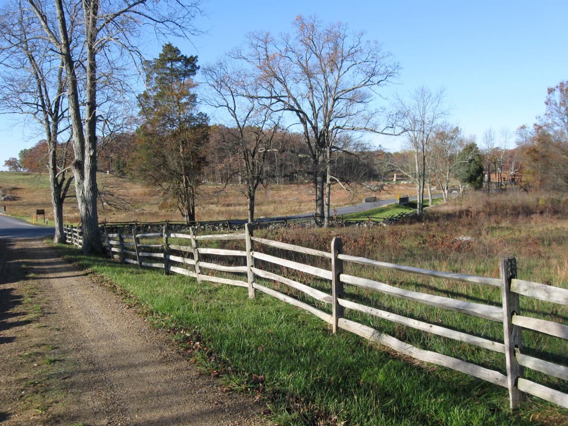
The last time we showed you the Weikert Farm Lane we were distracted by the dirt covered horse trail leading to the Abraham Trostle Farm. This view was taken facing southwest at approximately 8:30 AM on Sunday, November 7, 2010.
The Weikert Farm Lane has now been opened between the George Weikert Farm at the junction of Sedgwick Avenue and United States Avenue and the John Weikert Farm near the Wheatfield Road.
In our first Weikert Lane post we showed you the path from the George Weikert Farm to the horse trail that leads to the Abraham Trostle Farm.
Today we continue southward on the Weikert Farm Lane from the Trostle Horse Trail through the John T. Weikert farmyard and finally to the Wheatfield Road.
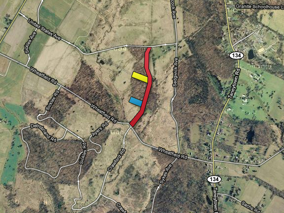
The red line shows the general route of the Weikert Lane. The yellow line shows where we were momentarily distracted by walking down the horse trail towards the Trostle Farm. The blue line shows the general direction to the Captain David Acheson rock. This map was made facing north at approximately 10:00 AM on Sunday, November 7, 2010.
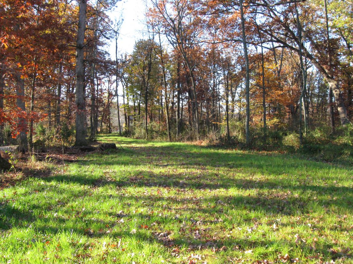
We’re continuing down the wide grassy pathway to the John T. Weikert farm. This view was taken facing southwest at approximately 8:30 AM on Sunday, November 7, 2010.
It is very possible that this was the route used by Strong Vincent’s Brigade as they made their way toward the Wheatfield before they changed direction and moved towards Little Round Top. This view was taken facing southwest at approximately 8:30 AM on Sunday, November 7, 2009.
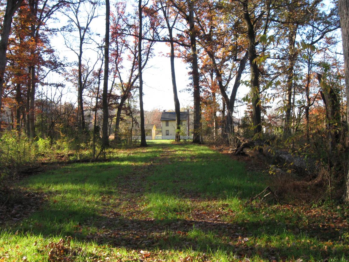
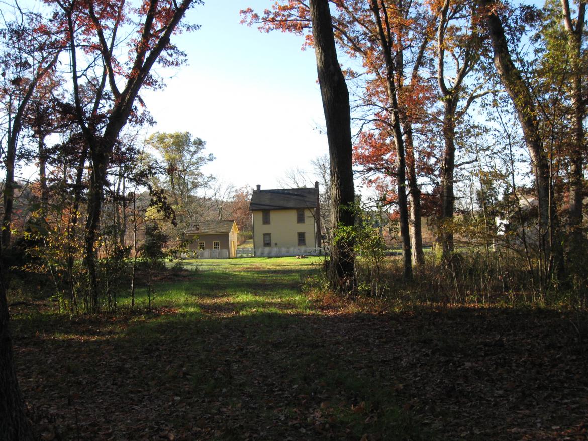
As you prepare to move from the woods into the farm yard… This view was taken facing southwest at approximately 8:30 AM on Sunday, November 7, 2010.
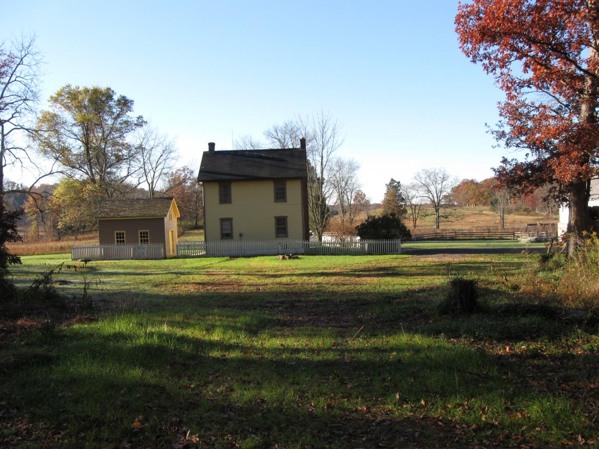
Don’t focus only on the buildings ahead of you. This view was taken facing southwest at approximately 8:30 AM on Sunday, November 7, 2010.
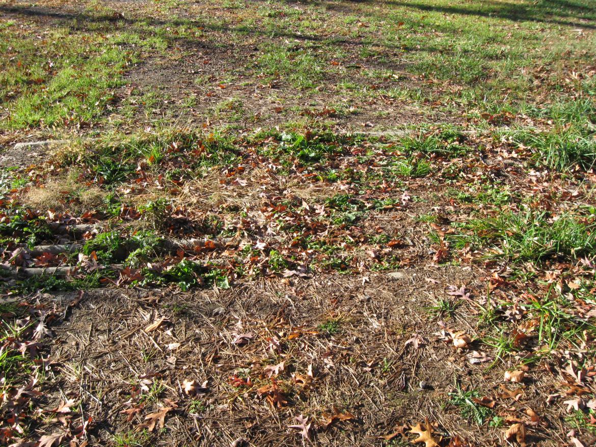
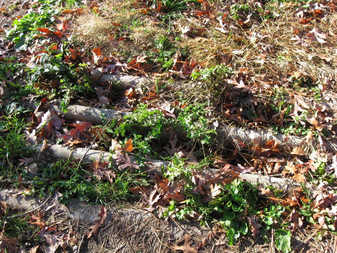
For safety reasons look down. This view was taken facing southwest at approximately 8:30 AM on Sunday, November 7, 2010.
There is a cattle guard here. This view was taken facing southwest at approximately 8:30 AM on Sunday, November 7, 2010.
We will go around the east side of the buildings. Munshower Hill and Little Round Top are the woods in the left background. This view was taken facing south at approximately 8:30 AM on Sunday, November 7, 2010.
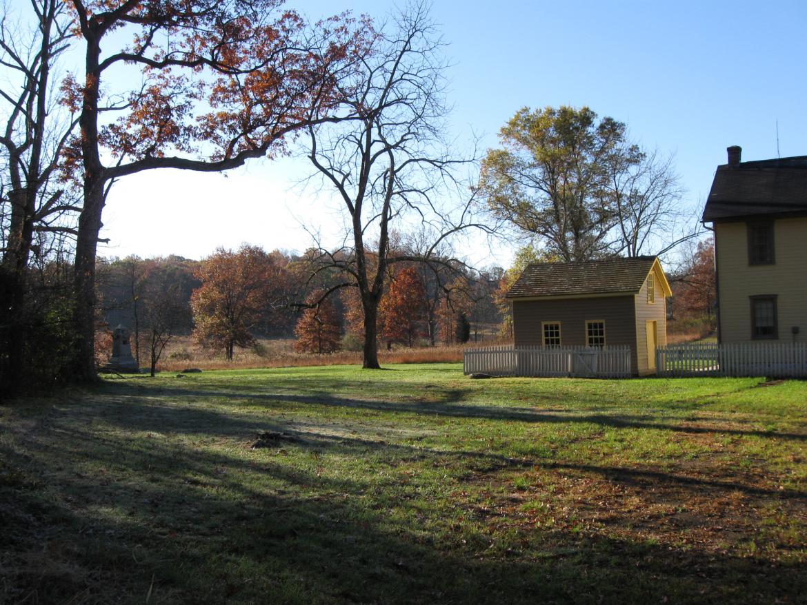
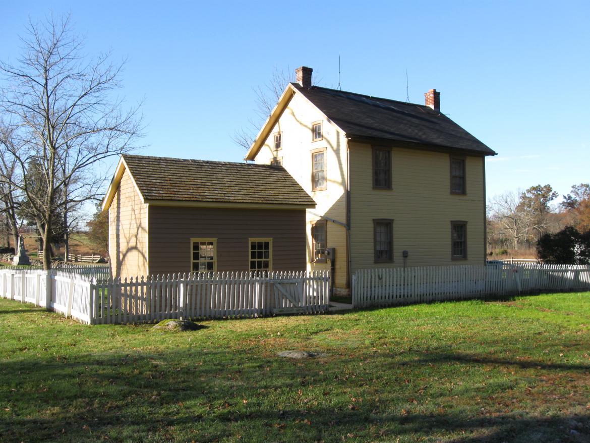
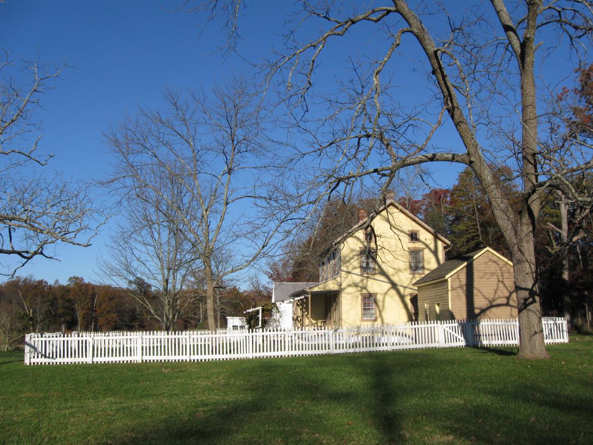
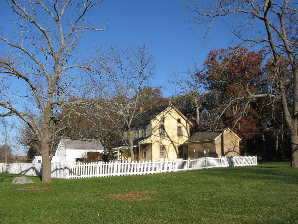
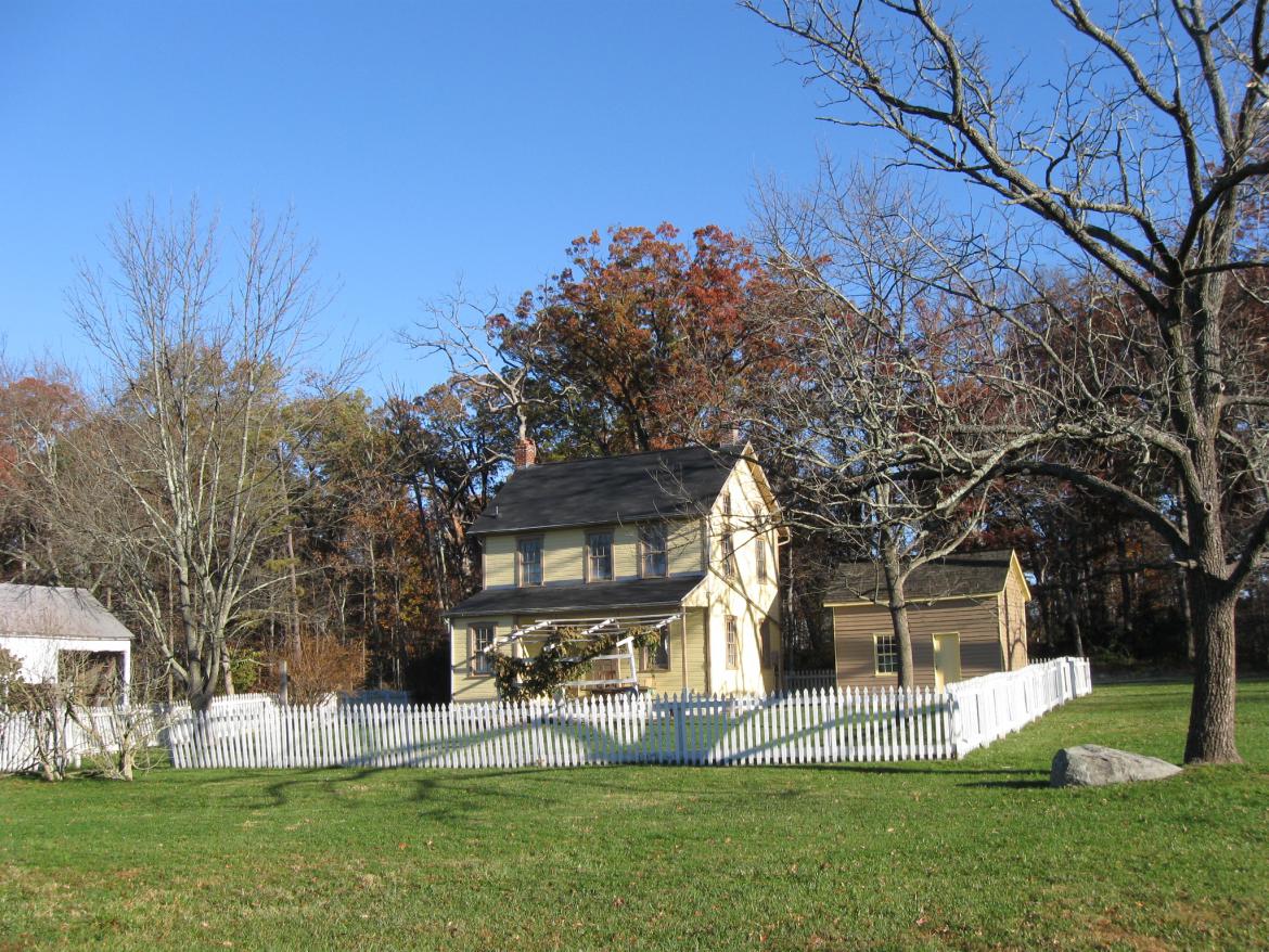
These are not the buildings that were here at the time of the battle. These buildings were constructed between 1870-1880. This view was taken facing southwest at approximately 8:30 AM on Sunday, November 7, 2010.
The Gettysburg Battlefield Memorial Association acquired this property from Francis A. Althoff, and turned the property over to the War Department in 1896. This view was taken facing southwest at approximately 8:30 AM on Sunday, November 7, 2010.
John T. Weikert was born circa 1838 in Maryland. The 1860 federal population census shows that “John Weikert” was “white,” that he was a Journeyman Carpenter, and that he lived in the same dwelling and was part of the same family with Sarah Weikert (1842-), born in Pennsylvania. This view was taken facing west at approximately 8:30 AM on Sunday, November 7, 2010.
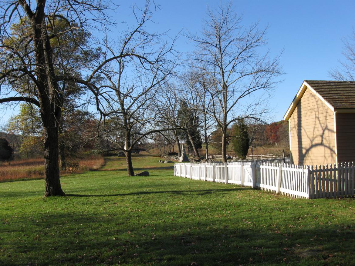
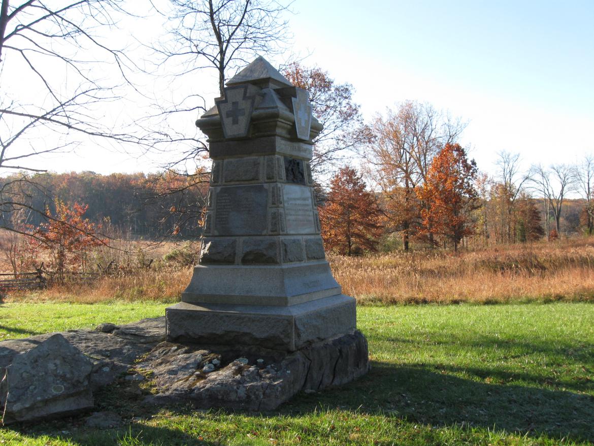
Sorry, while we were taking this last picture, we were distracted by the monument to the 98th Pennsylvania Infantry Regiment, located in the yard east of the farm buildings. This view was taken facing south at approximately 8:30 AM on Sunday, November 7, 2010.
The 1860 federal population census also shows that John Weikert’s real estate did not have a value (so he did not own the buildings located here) and his personal estate had a value of $200. John and Sarah Weikert “had been married within the year.” This view was taken facing west at approximately 8:30 AM on Sunday, November 7, 2009.
John T. Weikert enlisted in Company B of the 138th Pennsylvania Infantry in August, 1862, but this unit did not fight at Gettysburg. During the Gettysburg Campaign they were guarding railroads north of Baltimore. He was wounded at Mine Run, Virginia on November 27, 1863 (eight days after Lincoln gave his Gettysburg Address) and was “discharged by General Order” on the second anniversary of Pickett’s Charge, July 3, 1865. This view was taken facing northwest at approximately 8:30 AM on Sunday, November 7, 2010.
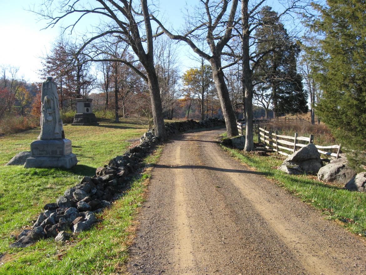
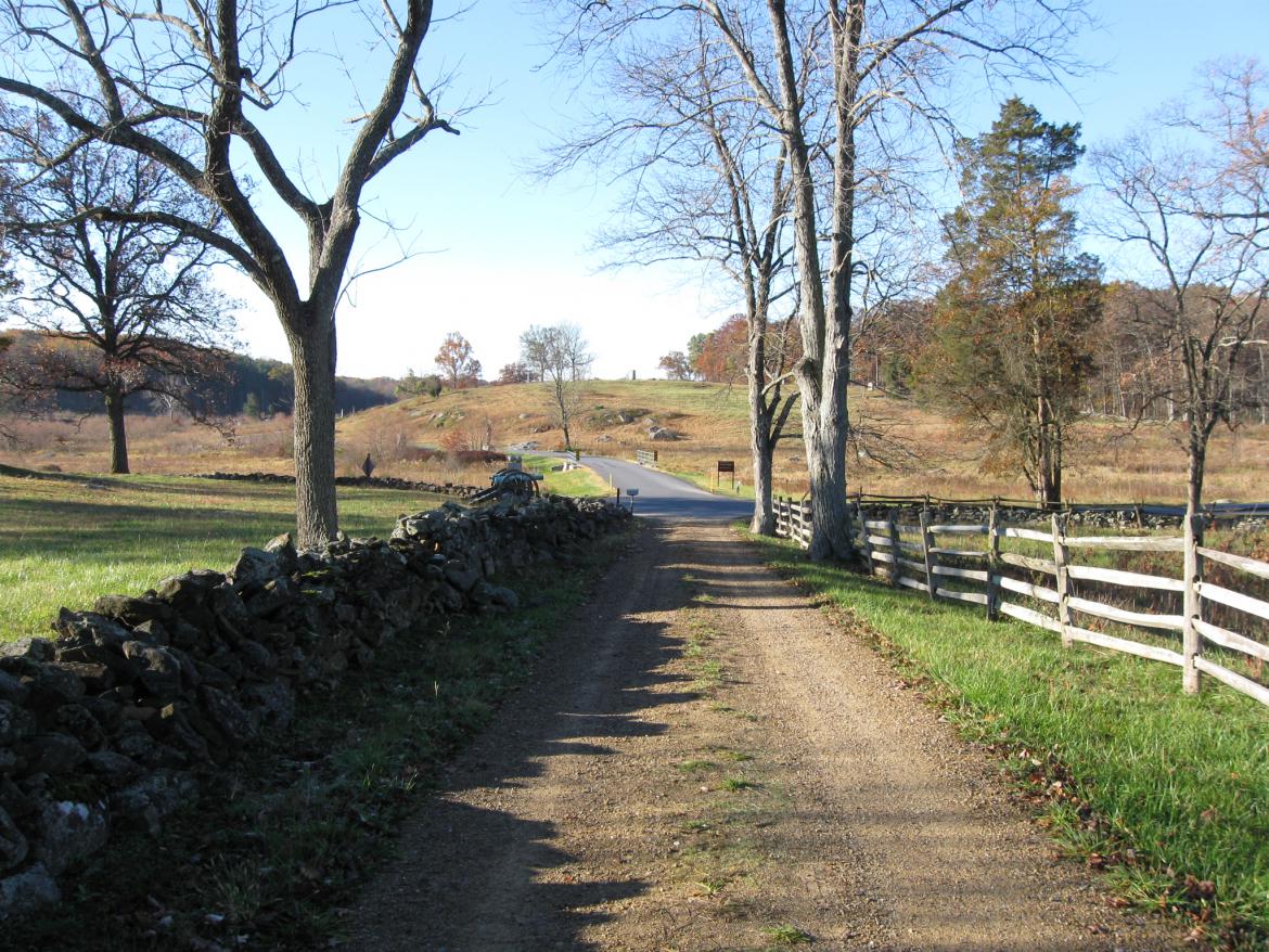
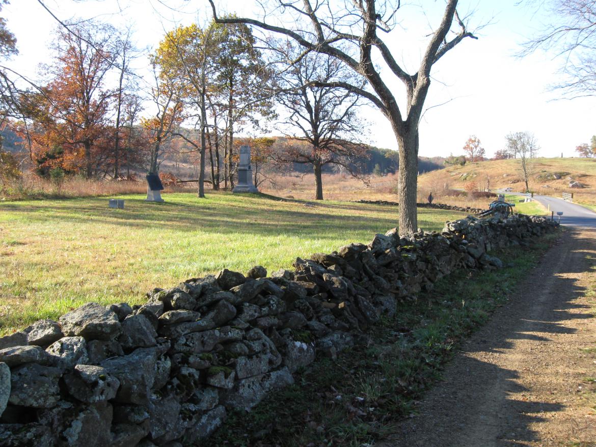
Okay, back to the Weikert Farm Lane. The monument to the 102nd Pennsylvania Infantry is closest to the camera on the left. The monument to the 102nd New York is farther from the camera in the left background. They and the 98th Pennsylvania Regiment, whose monument we showed you earlier, were part of Brigadier General Frank Wheaton’s Brigade (commanded by Colonel David Nevin). They occupied this area on July 2, 1863. This view was taken facing southwest at approximately 8:30 AM on Sunday, November 7, 2010.
One of the events we like to recall here is that could have been the path used by Strong Vincent’s Brigade on July 2, 1863. This view was taken facing southwest at approximately 8:30 AM on Sunday, November 7, 2010.
Vincent’s Brigade was leading the division of James Barnes towards the Wheatfield, shown in the left background. The monument in the right background is to the 6th Pennsylvania Reserves. This view was taken facing west at approximately 8:30 AM on Sunday, November 7, 2010.
SOMEWHERE on the way to the Wheatfield, the brigade was stopped and was waiting for orders. Oliver W. Norton in his account, Strong Vincent and His Brigade at Gettysburg, July 2, 1863 writes, “While waiting for orders Vincent saw a captain of General Sykes’ staff riding toward him from the front. Vincent, who evidently knew the captain, left the head of his brigade and rode forward to meet him.” This view was taken facing southwest at approximately 8:30 AM on Sunday, November 7, 2010.
The writer, Oliver Norton, followed closely with the flag. “Arriving, Vincent said, ‘Captain’ what are your orders?’ Without replying directly, the officer said, ‘Where is General Barnes?'” This view was taken facing west at approximately 8:30 AM on Sunday, November 7, 2010.
“If Vincent knew he did not answer the question, but said with emphasis, ‘What are your orders? Give me your orders.'” This view was taken facing southwest at approximately 8:30 AM on Sunday, November 7, 2010.
“The officer replied, ‘General Sykes directed me to tell General Barnes to send one of his brigades to occupy that hill yonder,’ pointing to Little Round Top. Without a moment’s hesitation Vincent replied, ‘I will take the responsibility of taking my brigade there.” Little Round Top and Big Round Top are in the left background. The marker for Frank Wheaton’s Brigade is to the left of the taller monument to the 139th Pennsylvania Infantry. This view was taken facing south at approximately 8:30 AM on Sunday, November 7, 2010.
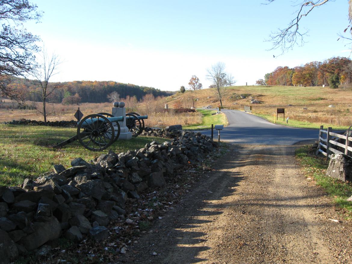
“…returning to the brigade, he (Vincent) gave to Colonel Rice, the senior regimental commander, the order to bring on the brigade as rapidly as possible and started for the hill…” The cannon and monument mark the location of the 3rd Massachusetts Battery. This view was taken facing southwest at approximately 8:30 AM on Sunday, November 7, 2010.
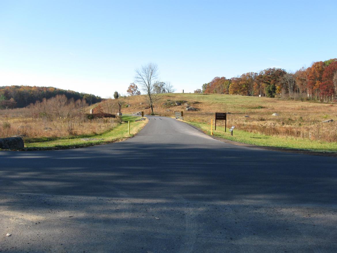
We have finally reached the Wheatfield Road. Crawford Avenue continues on the other (south) side of the Wheatfield Road. This view was taken facing southwest at approximately 8:30 AM on Sunday, November 7, 2009.
We have included a panorama of this area. This view was taken facing southeast to northwest at approximately 8:30 AM on Sunday, November 7, 2010.

