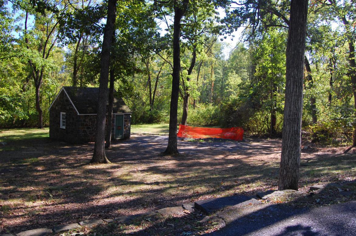
This non-historic structure, built by the Civilian Conservation Corps in the late 1930s will soon have running water again. This view was taken facing southwest at approximately 3:00 PM on Tuesday, September 7, 2010.
We previously covered the decision to run a new water line from the Spangler’s Spring Restroom to East Cemetery Hill. A number of our readers requested we show pictures of what the water line ground looks like post-disturbance.
We begin once again on East Cemetery Hill. Near the marker to the 106th Pennsylvania Infantry is where the new piping reaches a main, before diverting southwest to Baltimore Street. This view was taken facing northeast at approximately 3:00 PM on Tuesday, September 7, 2010.
The Gettysburg area has seen the summer haze lift in the last few weeks, and it was a very clear and beautiful day to take a walk. The monument to the 134th NY Infantry is in the foreground. This view was taken facing east at approximately 3:00 PM on Tuesday, September 7, 2010.
We will begin to follow the water line off the hill where the attempt to plant new grass begins. This straw in the foreground and left of this view will become a familiar sight. The Howard equestrian statue is in the right background. This view was taken facing southeast at approximately 3:00 PM on Tuesday, September 7, 2010.
As we walk down the hill we pass the 7th West Virginia Infantry charge marker. This view was taken facing southeast at approximately 3:00 PM on Tuesday, September 7, 2010.
The grass is making a concerted effort in some areas, but the lack of rain in the last few weeks has certainly not helped things. This view was taken facing southeast at approximately 3:00 PM on Tuesday, September 7, 2010.
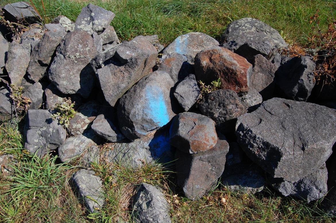
Some of our readers wondered whether the spray paint contractors applied to these original rock walls constructed by the soldiers would wash off in the rain … This view was taken facing southeast at approximately 3:00 PM on Tuesday, September 7, 2010.
… We regret to inform them that the paint seems quite permanent. Both at this wall … This view was taken facing northwest at approximately 3:00 PM on Tuesday, September 7, 2010.
… And the next. This view was taken facing southeast at approximately 3:00 PM on Tuesday, September 7, 2010.
Looking back up East Cemetery Hill. Due to the straw, the water line is very well-defined on the landscape, and until the grass grows in, we imagine it will be for some time. This view was taken facing northwest at approximately 3:00 PM on Tuesday, September 7, 2010.
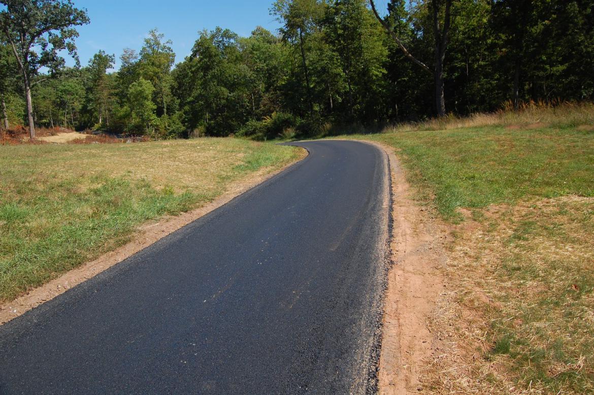
This “Road Closed” sign was here for the repaving Wainwright Avenue, which as you can tell, recently occurred. This view was taken facing northwest at approximately 3:00 PM on Tuesday, September 7, 2010.
The water line runs under this non-original rock wall and behind the 33rd Massachusetts Infantry monument … This view was taken facing southeast at approximately 3:00 PM on Tuesday, September 7, 2010.
… crosses Slocum Avenue … This view was taken facing northwest at approximately 3:00 PM on Tuesday, September 7, 2010.
… and begins to ascend Stevens Knoll/McKnight’s Hill. The Slocum equestrian statue is in the left of this shot. This view was taken facing southeast at approximately 3:00 PM on Tuesday, September 7, 2010.
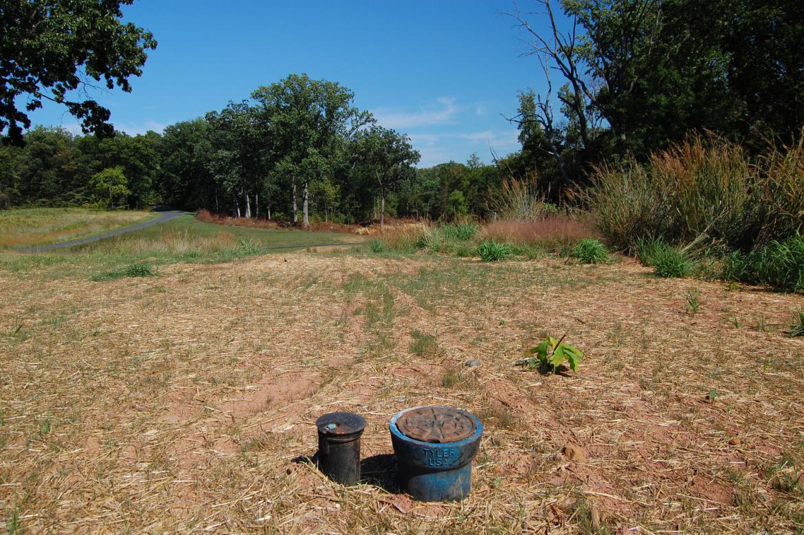
The old circular brick structure that used to be underground here was replaced with this piping. This view was taken facing east at approximately 3:00 PM on Tuesday, September 7, 2010.
As we descend Stevens Knoll, the contractors made much wider and noticeable paths in the landscape. This view was taken facing east at approximately 3:00 PM on Tuesday, September 7, 2010.
The water line runs off of the knoll and under Williams Avenue, which was also recently repaved. This view was taken facing southeast at approximately 3:00 PM on Tuesday, September 7, 2010.
The grass here is coming in a bit better than in other areas where the landscape was disturbed. This view was taken facing east at approximately 3:00 PM on Tuesday, September 7, 2010.
This particular spot was extremely noticeable when it was all dirt, and it is quite the visible scar with all straw as well. Pleas excuse the windshield of our vehicle. The water line crosses Williams Avenue once more … This view was taken facing northwest at approximately 3:00 PM on Tuesday, September 7, 2010.
… And descends down the slope towards Pardee Field. Some have taken to referring to this area as a perfect spot for a new miniature golf hole. You could start up here … This view was taken facing southeast at approximately 3:00 PM on Tuesday, September 7, 2010.
… And place the hole down at this end of the ravine. The grass in this area is not growing well at this time. Pardee Field is behind the camera position.This view was taken facing northwest at approximately 3:00 PM on Tuesday, September 7, 2010.
Further down Geary Avenue the grass situation is much better on the left side of the road. This view was taken facing north at approximately 3:00 PM on Tuesday, September 7, 2010.
Unfortunately, just off of Geary Avenue where the water line enters the woods is where the effort to replant grass stops. We imagine that due to the fact that the public doesn’t go back into the woods, it was determined an unnecessary effort. This view was taken facing southwest at approximately 3:00 PM on Tuesday, September 7, 2010.
Alongside the road the cleared area we showed in our original post on the water line looks much the same … This view was taken facing southeast at approximately 3:00 PM on Tuesday, September 7, 2010.
… And takes us to our final destination, for a grand total of $295,767 or $49,294.50 for each toilet/sink. You might be wondering whether after all this effort since late June, whether you can actually use the restroom in this structure now. Well, at this point in time, we have some bad news … This view was taken facing southeast at approximately 3:00 PM on Tuesday, September 7, 2010.
… If we go back to East Cemetery Hill and walk towards Baltimore Street … This view was taken facing southwest at approximately 3:00 PM on Tuesday, September 7, 2010.
… we can see where the new piping exits the old 1937 pipe it has been threaded through. It then exits out on top of the ground … This view was taken facing southwest at approximately 3:00 PM on Tuesday, September 7, 2010.
… And sits here at the side of Baltimore Street, waiting forlornly to be connected to a water source. This view was taken facing northwest at approximately 3:00 PM on Tuesday, September 7, 2010.
See the following related posts:
Water Line to be Run to the Spangler’s Spring Restroom. Why? on July 2, 2010
Spangler’s Spring Restroom: The Water Line Part 2 on July 14, 2010
Spangler’s Spring Restroom: The Water Line Part 3 on July 20, 2010
Spangler’s Spring Restroom: The Water Line Part 4 on July 23, 2010
Spangler’s Spring Restroom: The Water Line Part 5 on July 29, 2010
Spangler’s Spring Restroom: The Water Line Part 6 on July 30, 2010
Spangler’s Spring Restroom: The Water Line Part 7 on August 2, 2010


