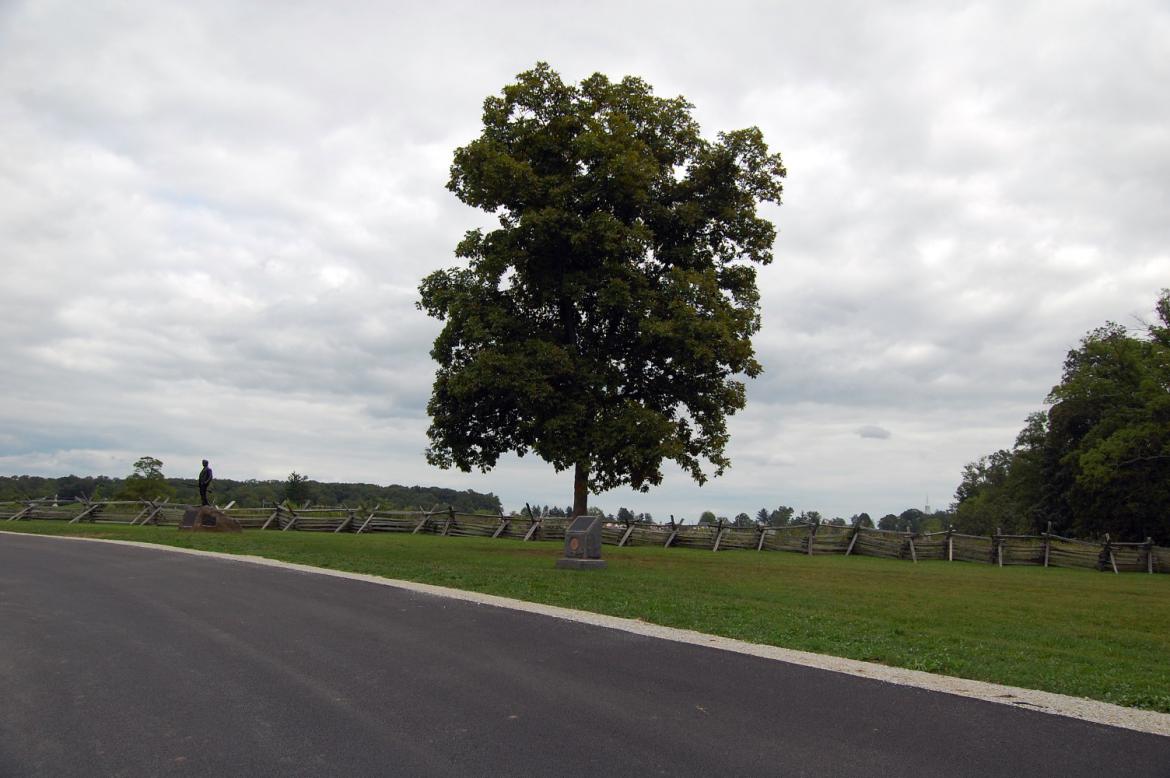
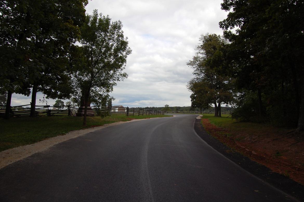
The last few days have brought rain and cooler weather to the Gettysburg area, and yesterday was as overcast as they come. The John Burns statue is in the left of this shot, and the marker to the 84th New York (14th Brooklyn) is in the center. This view was taken facing northeast at approximately 2:40 PM on Wednesday, August 25, 2010.
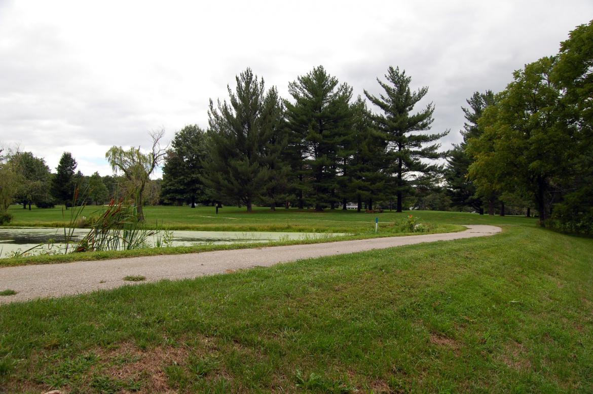
The Gettysburg Country Club opened on Thursday, August 12, 1948. It was started by 29 members and was built on ground formerly occupied by the Katalysine Hotel and Mineral Springs. The hotel, which was constructed in 1869, was abandoned in 1901 and the structure was destroyed by fire in 1917. The Country Club operated until early 2008, when foreclosure forced the club to shut its doors. A lack of buyers for the property and a vote by the Cumberland Township Board of Supervisors on Tuesday will allow the National Park Service to purchase 95 acres of the property. Today we’ll take a walk and show you one area that will come under control of the National Park Service.
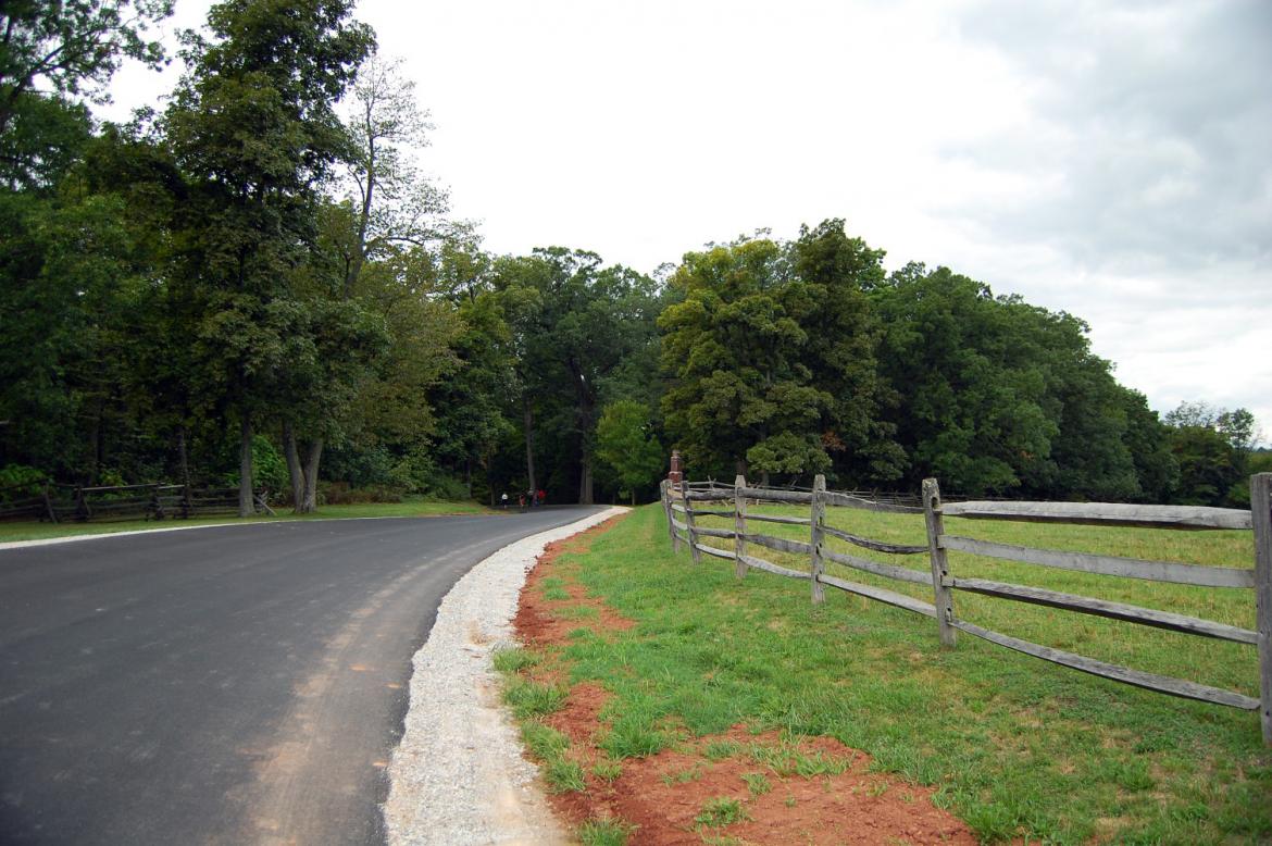
We begin on Stone Avenue, looking towards Herbst’s Woods/McPherson’s Woods. The monument to the 7th Wisconsin Regiment is visible in the center of this shot. This view was taken facing southwest at approximately 2:40 PM on Wednesday, August 25, 2010.
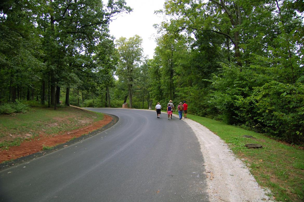
We’ll follow this National Park Ranger and his group … This view was taken facing south at approximately 2:40 PM on Wednesday, August 25, 2010.
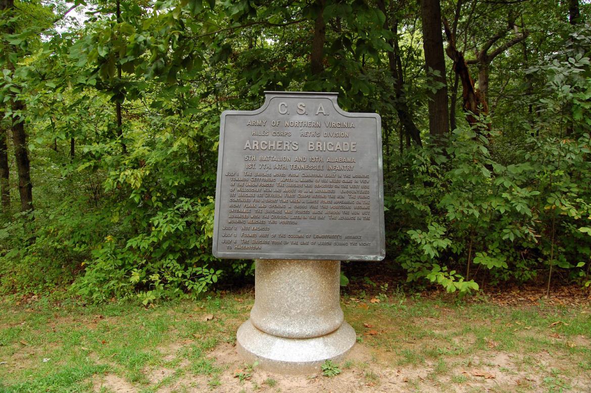
… past the marker to Archer’s Brigade … This view was taken facing west at approximately 2:40 PM on Wednesday, August 25, 2010.
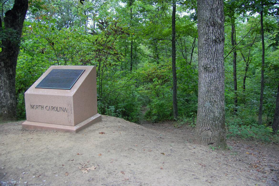
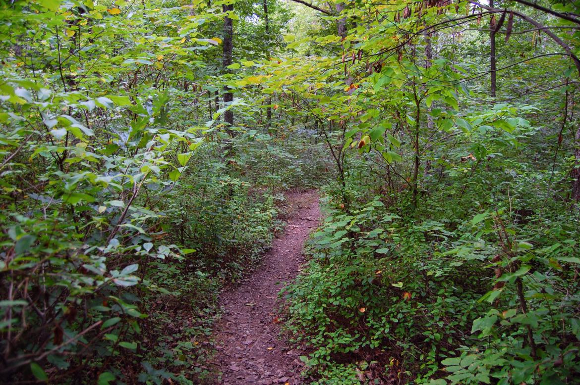
… to the monument to the 26th North Carolina Infantry. Just beyond it is the path that will lead us down to Willoughby Run. This view was taken facing west at approximately 2:40 PM on Wednesday, August 25, 2010.
On the morning of July 1st, the 2nd and 7th Wisconsin pushed Archer’s Brigade of Tennesseans and Alabamians down this slope back towards Willoughby Run. This view was taken facing west at approximately 2:40 PM on Wednesday, August 25, 2010.
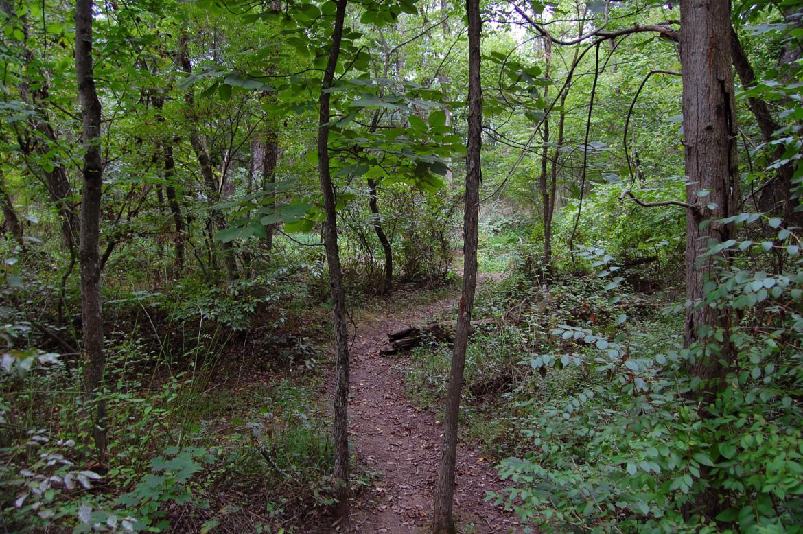
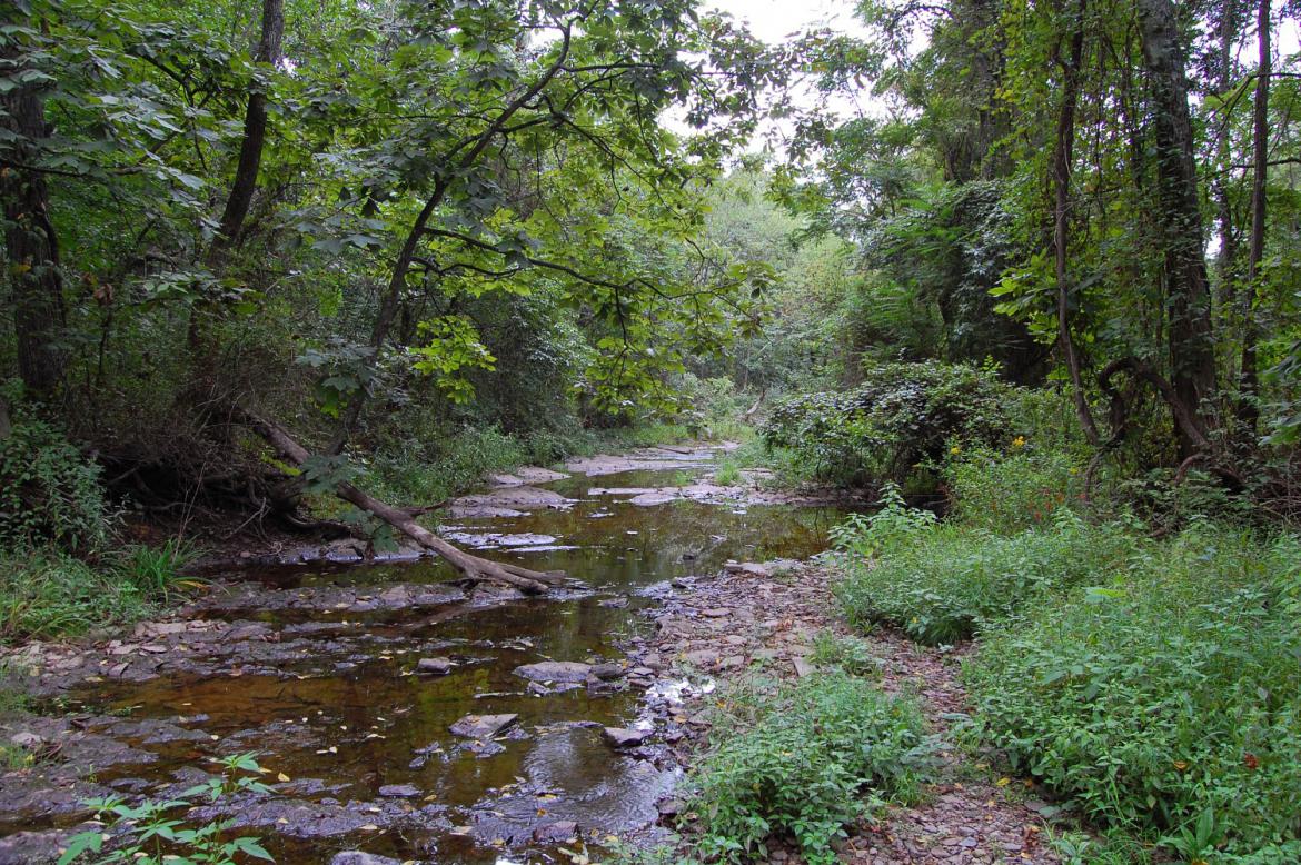
It was a bit muddy in this area from the recent rainfall, but this portion of our walk is easily navigable. This view was taken facing west at approximately 2:40 PM on Wednesday, August 25, 2010.
The 19th Indiana and 24th Michigan attacked from the south to hit Archer’s men on their right flank the morning of July 1. Somewhere within the vicinity of the Run, Archer was captured by Private Patrick Maloney of the 2nd Wisconsin. This view was taken facing west at approximately 2:40 PM on Wednesday, August 25, 2010.
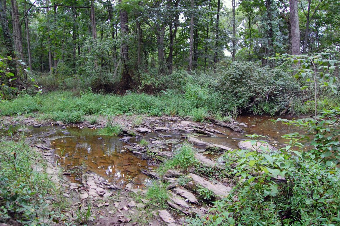
We’ll cross Willoughby Run here. Things begin to get a bit more interesting as far as how easy it is to walk/explore this area after making this crossing. This view was taken facing southeast at approximately 2:40 PM on Wednesday, August 25, 2010.
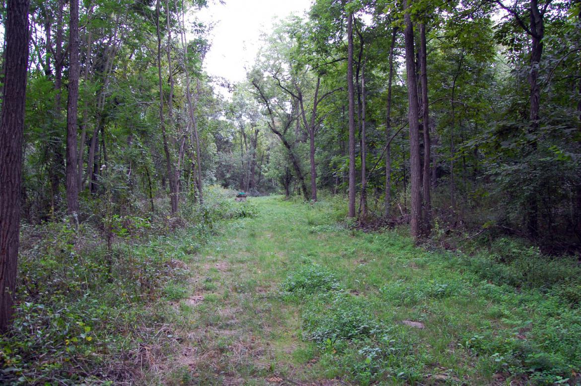
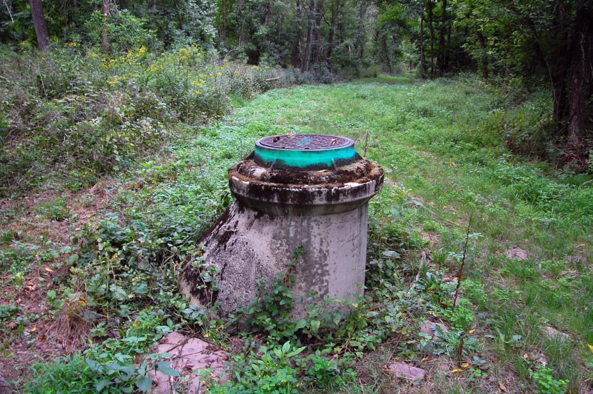
There is an open swath here on the other side of Willoughby Run for sewage/drainage line … This view was taken facing southeast at approximately 2:40 PM on Wednesday, August 25, 2010.
At least three of these sewage mains stick out in the ground. This view was taken facing northwest at approximately 2:40 PM on Wednesday, August 25, 2010.
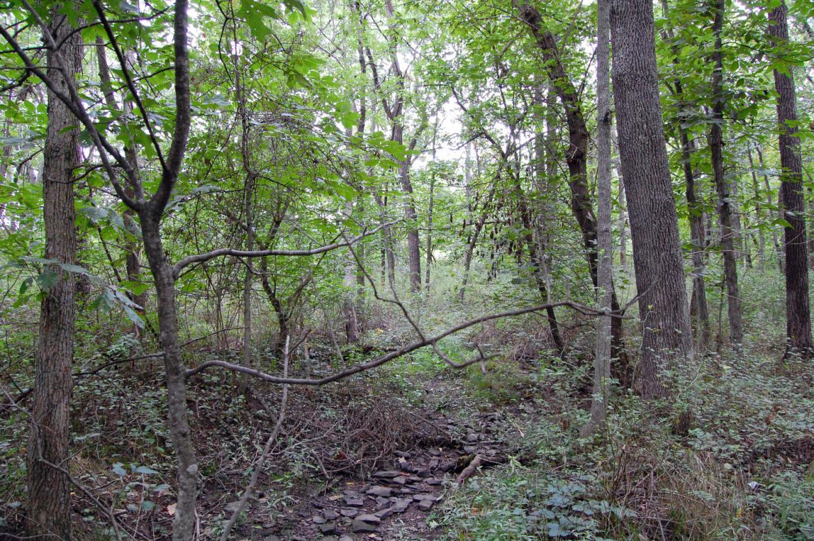
We’ll attempt to keep pressing on into the trees. The undergrowth in this area is not kind and we don’t recommend attempting this walk. The Iron Brigade occupied these woods after the mid-day lull in the fighting on July 1. Pettigrew’s Brigade of North Carolinians would push them out of their position here that afternoon. This view was taken facing west at approximately 2:40 PM on Wednesday, August 25, 2010.
After much tripping and stumbling we begin to reach the edge of the woods where Pettigrew’s Brigade entered, enveloping the flank of the 19th Indiana. This view was taken facing southwest at approximately 2:40 PM on Wednesday, August 25, 2010.
The light at the end of the tunnel … This view was taken facing west at approximately 2:40 PM on Wednesday, August 25, 2010.
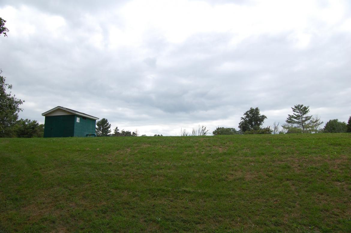
… and finally the golf course of the former Gettysburg Country Club. This view was taken facing southwest at approximately 2:40 PM on Wednesday, August 25, 2010.
When the country club opened in 1948, all residents of Adams County were invited to attend. Dwight D. Eisenhower was made an honorary member. Each year the club would send a card to Eisenhower’s farm granting him membership, and each year until his death in 1969 he would reply with a letter of thanks and acceptance. This view was taken facing southwest at approximately 2:40 PM on Wednesday, August 25, 2010.
Editions of the Gettysburg Times in the 1950s contain numerous references to sightings of then President Eisenhower playing golf here, often accompanied by photographers from various newspapers. In May of 1955 he posted a note on the club’s bulletin board remarking on “the kindness of the Gettysburg Country Club in making available to me a locker room for my use and that of my guests.” A small room was furnished and set aside for Eisenhower’s personal use. This view was taken facing west at approximately 2:40 PM on Wednesday, August 25, 2010.
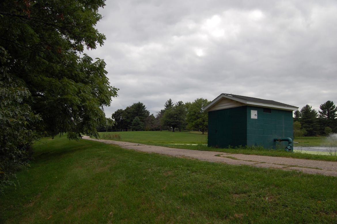
In an attempt to gain new members in 2005, a 2.8 million dollar renovation project was embarked upon and completed in 2007. By 2008 the organization was plagued by unpaid back taxes and declining membership, resulting in foreclosure. It was put up for sale in 2009 but had no bidders. The golf course and 95 acres will go to the NPS, likely within the next 90 days. Another 15 acres, which includes a tennis court, clubhouse, and swimming pool, will remain developed and future plans are unclear. This view was taken facing northwest at approximately 2:40 PM on Wednesday, August 25, 2010.
This purchase by the National Park Service will allow visitors for the first time to take the vantage point of the attacking Confederate forces on the afternoon of July 1st as they drove the Iron Brigade from the woods. We are looking back towards the McPherson Barn. The monument to the 7th Wisconsin is just behind the tree in the left-hand portion of the shot. This view was taken facing northeast at approximately 2:40 PM on Wednesday, August 25, 2010.

