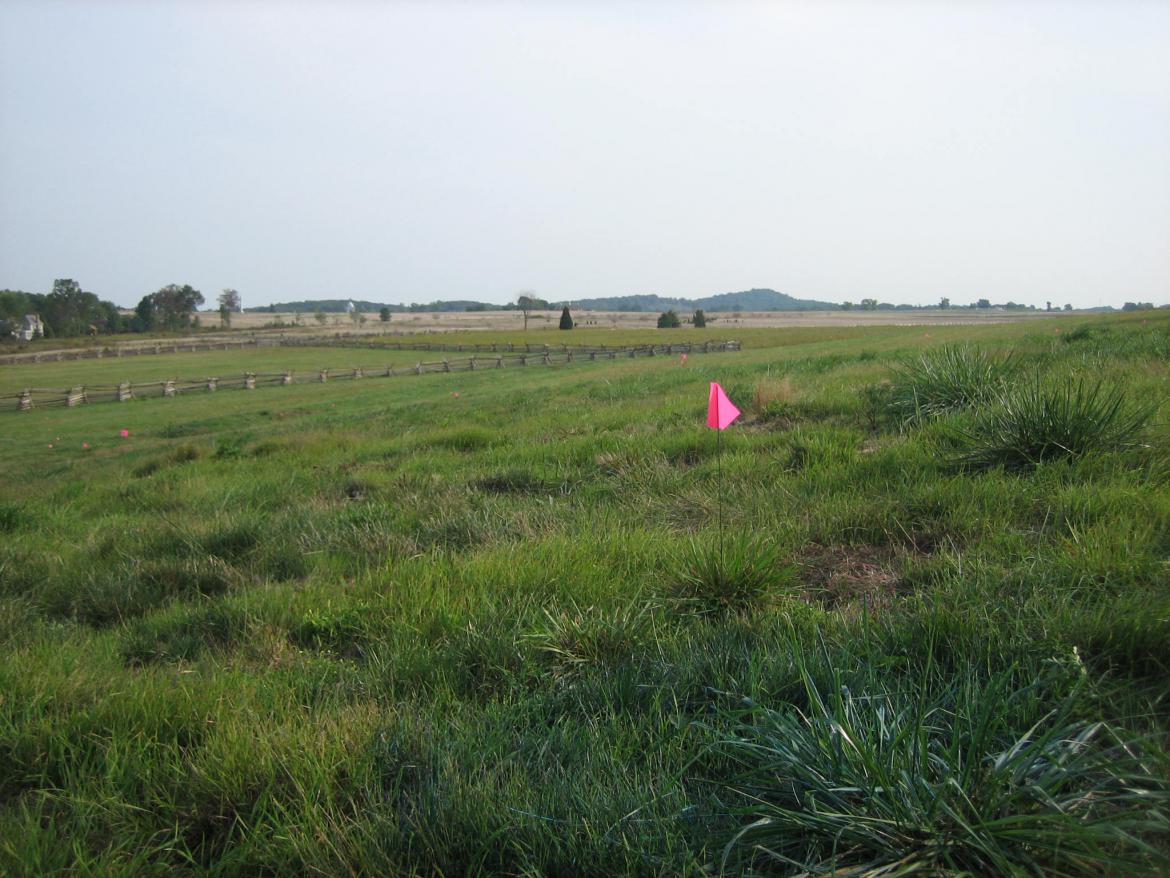
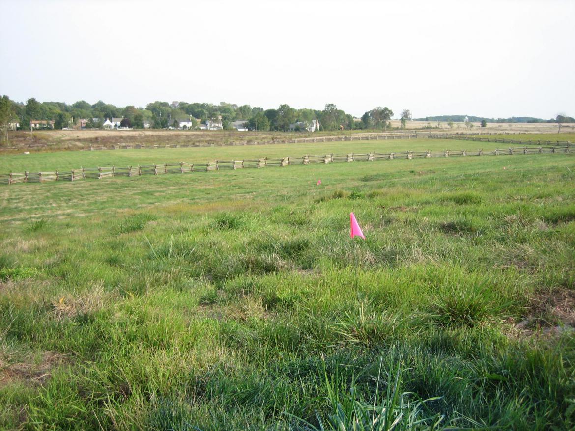
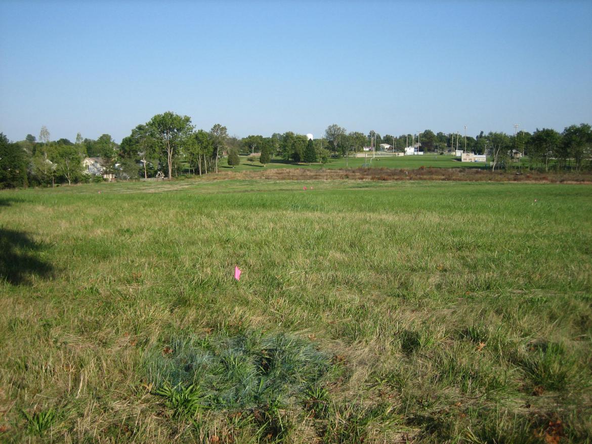
The flag placing in preparation for replanting the McMillan Apple Orchard continued today at Gettysburg National Military Park. The Round Tops are directly above the pink flag in the foreground. This view was taken from the northwest facing southeast at approximately 4:45 PM on Wednesday, September 24, 2008.
The McMillan Apple Orchard preparation continued today with flag placing to the north and northeast of the McMillan House. This area is between West Confederate Avenue on Seminary Ridge and Colt Park. The apple trees in this area have been planted far enough below the crest of Seminary Ridge so that when they mature, they will not obstruct the view from the ridge.
See our first post on the McMillan Apple Orchard preparation on September 23, 2008.
See our post on the McMillan House on April 16, 2008.
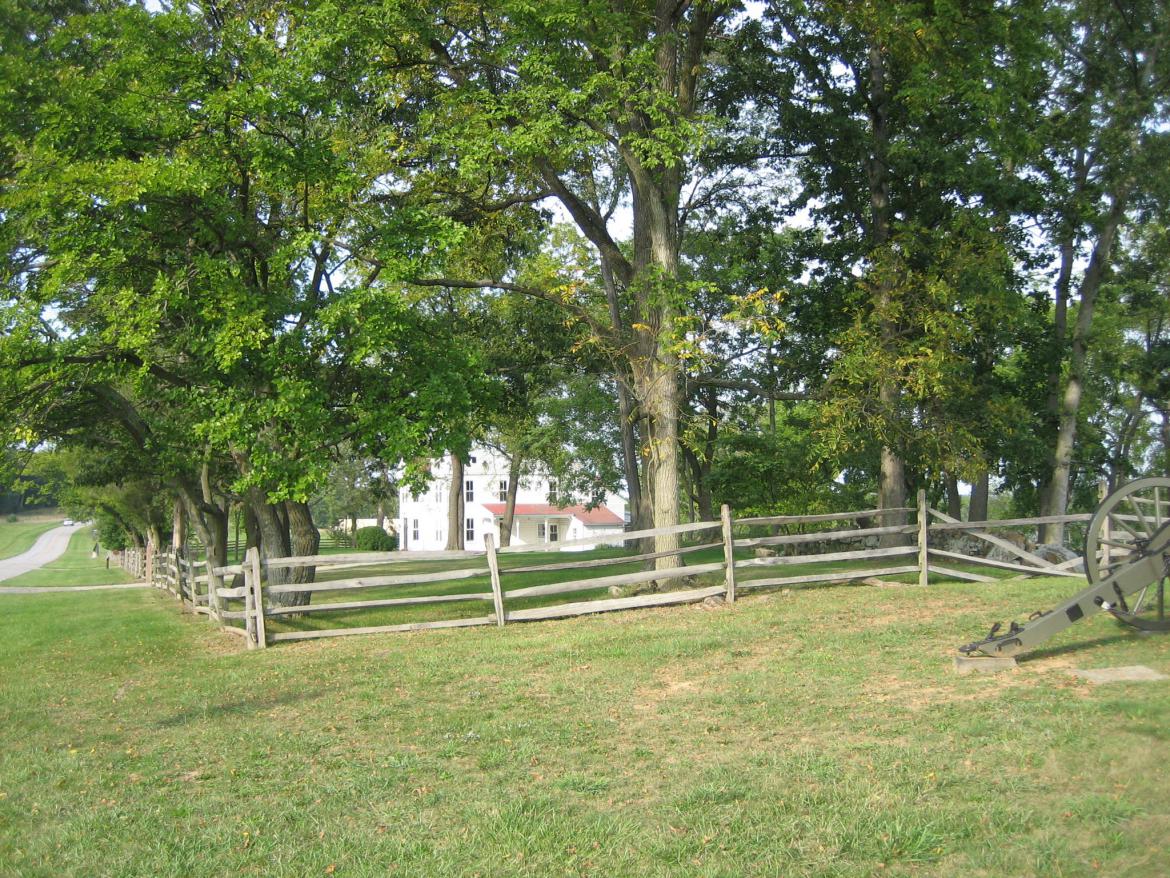
To see where they planted today, go north of the McMillan House. View from the southwest facing northeast at approximately 4:45 PM on Wednesday, September 24, 2008.
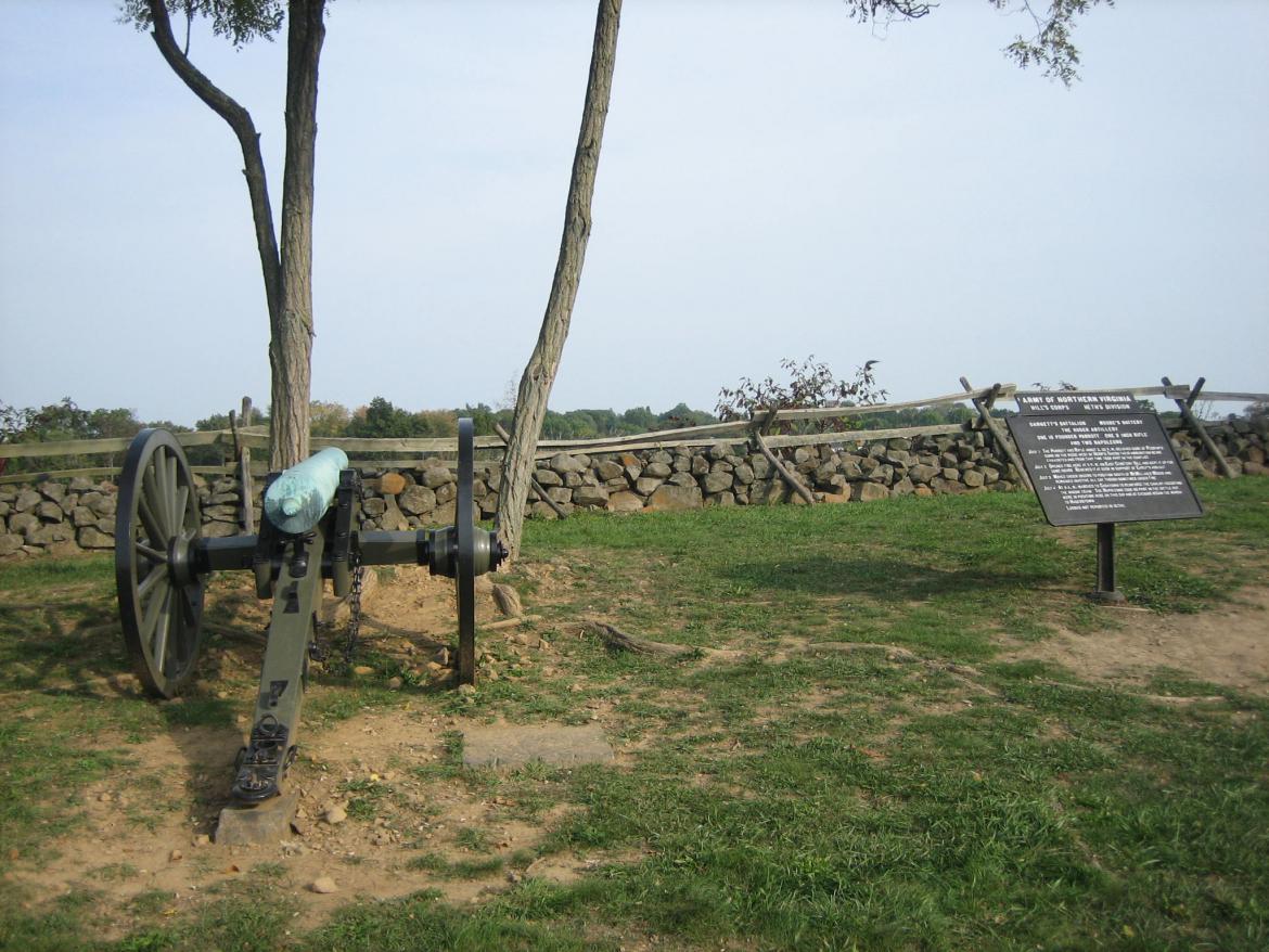
Approach the stone wall on the east side of West Confederate Avenue near the marker for Huger’s Battery. View from the northwest facing southeast at approximately 4:45 PM on Wednesday, September 24, 2008.
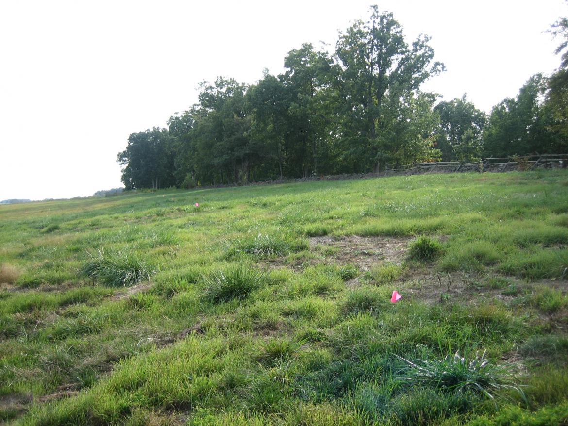
Look over the wall. The green grass that you see extending down the slope towards Colt Park now contains pink flags. View is from the northwest facing southeast at approximately 4:45 PM on Wednesday, September 24, 2008.
We climbed over the stone wall. Look at the flag in the foreground. Extending behind it in a line towards Colt Park are dozens of more flags. The green area enclosed by the “worm” fences or “saw-buck” fences also contain pink flags. View from the northwest facing southeast at approximately 4:45 PM on Wednesday, September 24, 2008.
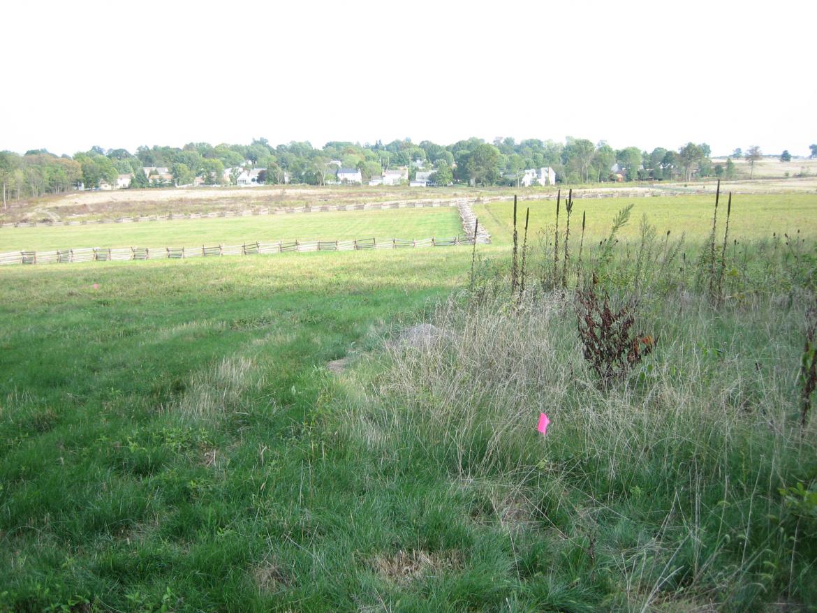
To give one an idea of how far south the orchard goes, one can follow this line of pink flags towards the trees in the background. The pink flags are planted well below the crest of Seminary Ridge. When the apple trees mature, they will not block the view from Seminary Ridge looking to the east and southeast. View from the north facing south at approximately 4:45 PM on Wednesday, September 24, 2008.
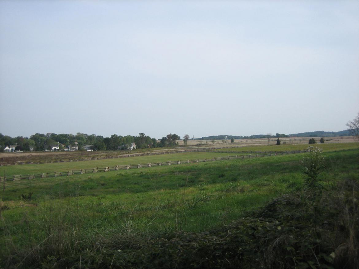
Here is the southern “boundary” of the flag placing. The “worm” fence running east to west in the background also marks the southern boundary of the orchard that will be planted in Spring, 2009. View from the west facing east at approximately 4:45 PM on Wednesday, September 24, 2008.
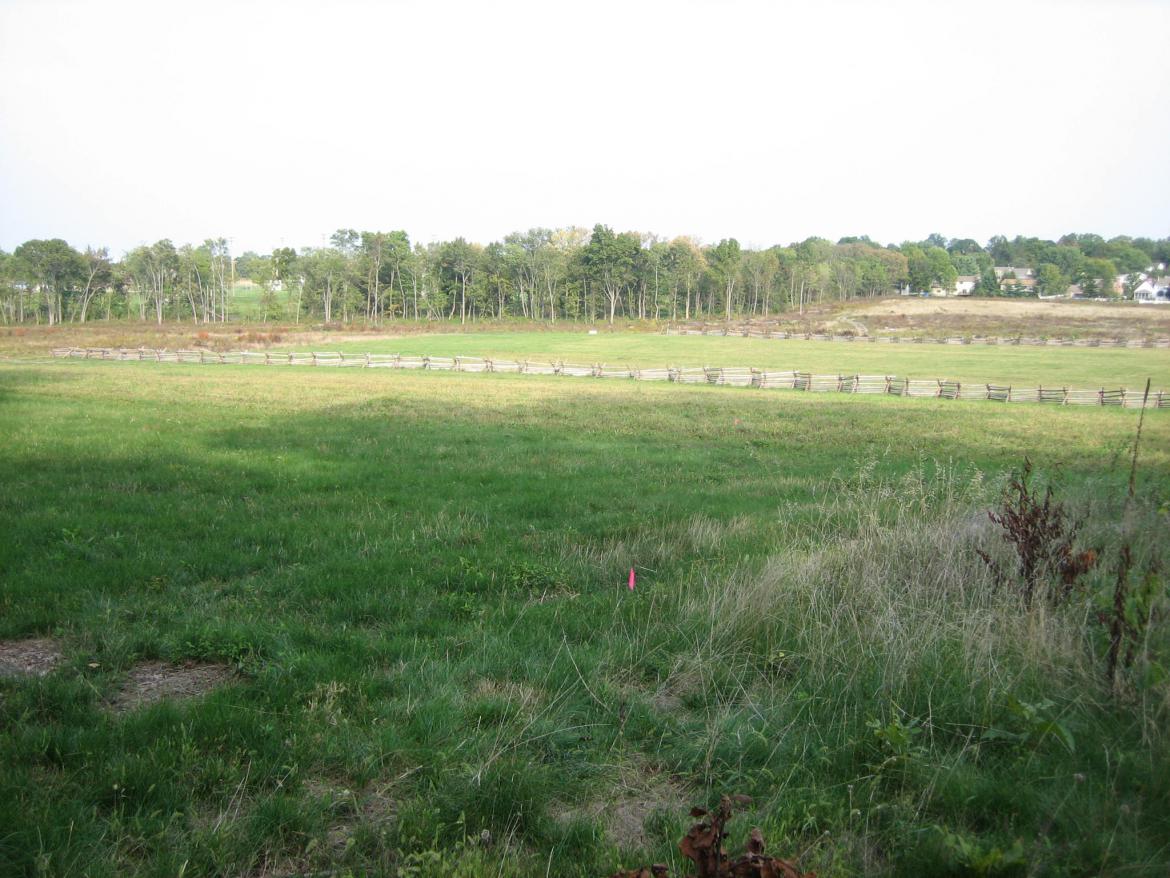
From the southwest corner of the soon to be orchard looking towards the Gettysburg Recreation Park. The Recreation Park is located behind the trees in the background, and Colt Park has houses visible through trees in the right background. The marker for Pender’s Division is located west of this spot on the west side of West Confederate Avenue. View from the southwest facing northeast at approximately 4:45 PM on Wednesday, September 24, 2008.
This photograph was taken yesterday on the east side of West Confederate Avenue, and south of Griffin’s Battery, near the Armory. The light blue/green water tank on Cemetery Hill is shown approximately one mile in the background. Some have expressed concern that the trees planted near the crest of Seminary Ridge between the Armory and the McMillan House, will block the view of Cemetery Hill when the trees reach maturity. We have to agree. View from the west facing east at approximately 5:00 PM on Tuesday, September 23, 2008.

