Hunterstown Part 2 With Authors J.D. Petruzzi and Steve Stanley
October 12, 2009
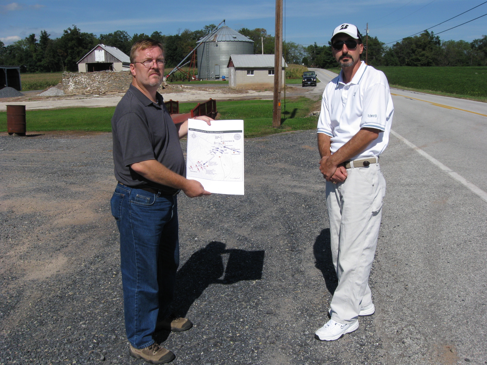
Civil War authors J.D. Petruzzi and Steve Stanley are standing southwest of Hunterstown on the Hunterstown-Gettysburg Road. This view was taken facing northeast at approximately 3:00 PM on Sunday, September 20, 2009.
J. David Petruzzi is an insurance broker in Western Pennsylvania. His interest in the American Civil War began while he was a child, and he has long been very interested in the cavalry. He is the author or co-author of three Civil War books including The Complete Gettysburg Guide which was published in June, 2009.
Steven Stanley is a graphic artist specializing in historical map design and battlefield photography. His maps have appeared in a wide variety of publications, and he is a co-author of The Complete Gettysburg Guide.
In our first Hunterstown post, J.D. Petruzzi and Steve Stanley showed us the location of the first contact at Hunterstown, Pennsylvania, and some locations in the “town square.”
In today’s post, J.D. Petruzzi and Steve Stanley show us the most important actions on the Hunterstown Battlefield, and how George Armstrong Custer escaped possible death or capture.
See our post on the Hunterstown Custer Marker on July 10, 2008.
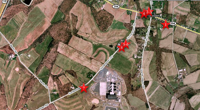
This map shows the location of where our Hunterstown videos were produced. Video #1 was shot on the Hunterstown-Hampton Road across the street from the Jesse McCreary House. Videos #2 and #3 were taken at Hunterstown’s “town square.” Video #4 was taken at the John Tate House. Videos #5, #6, and #8 were taken at the John Felty Farm. Video #8 was taken at Custer Curve. This map was created facing north at approximately 6:00 PM on Tuesday, September 22, 2009.
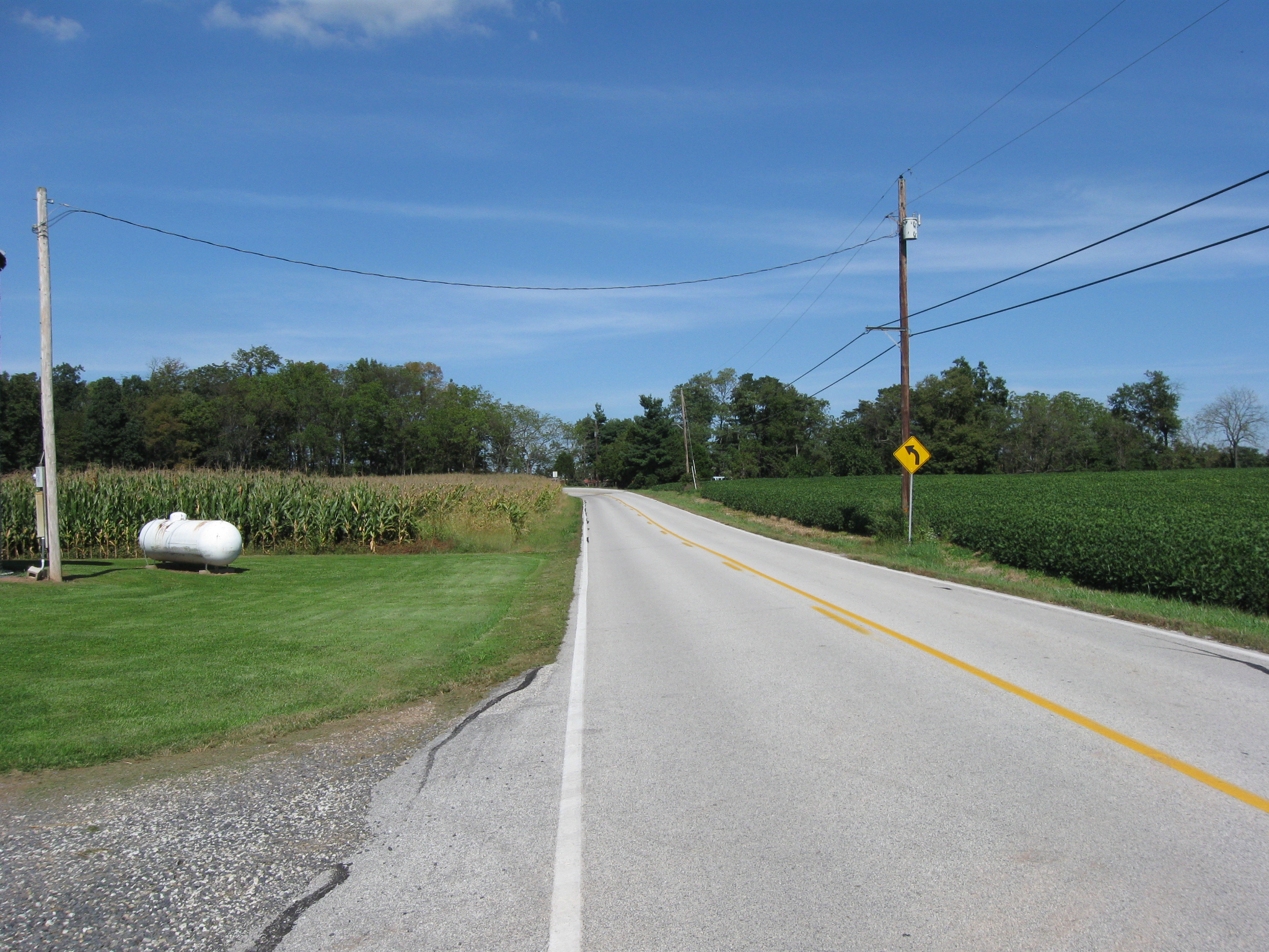
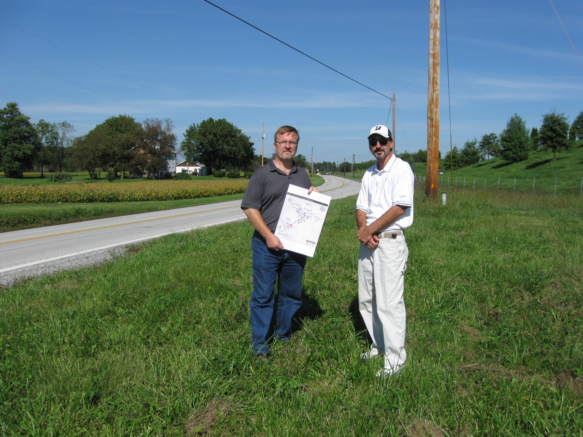
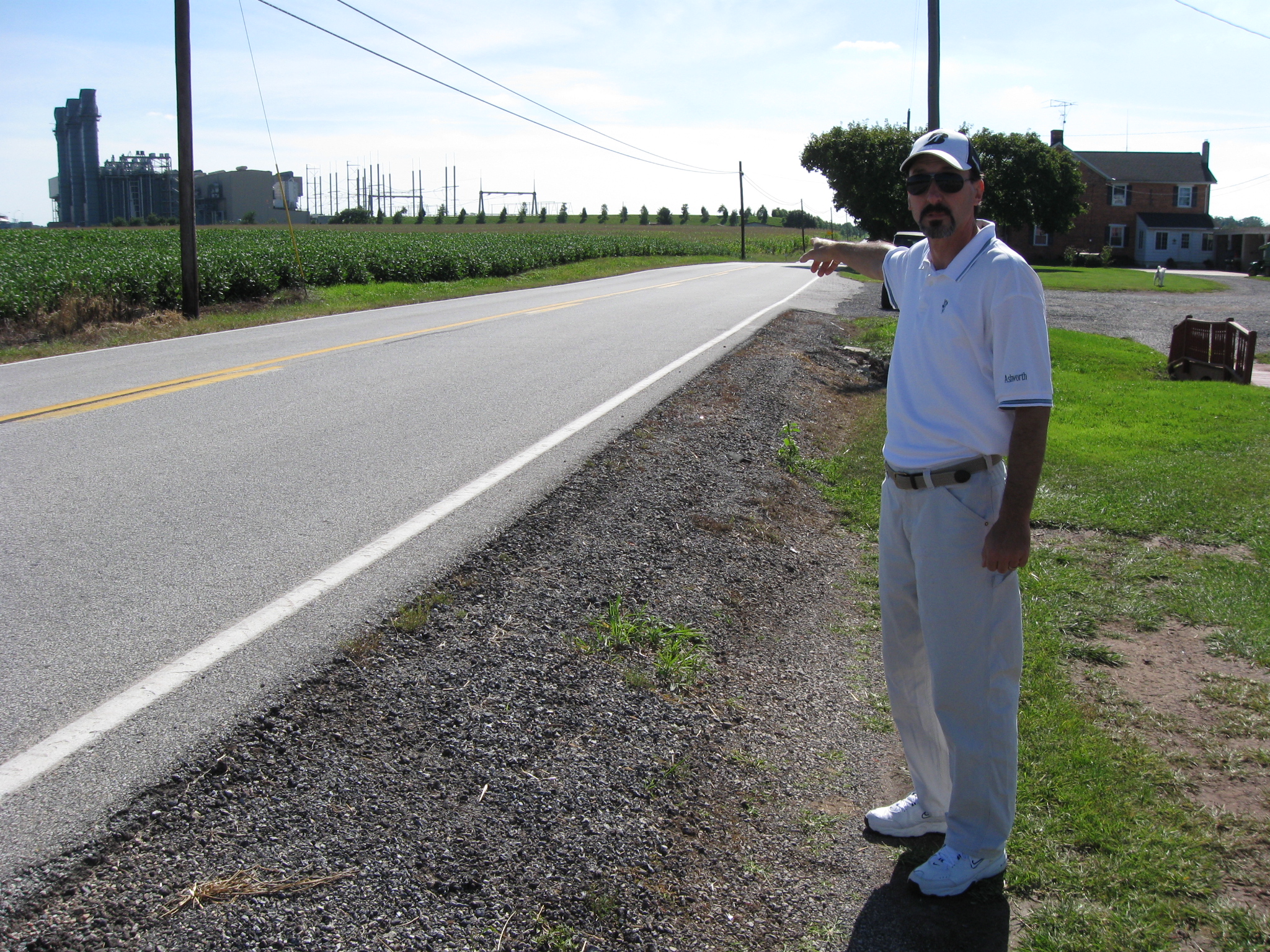
In Video #5 (Videos #1- #4 were shown in our previous Hunterstown posts) Civil War authors J.D. Petruzzi and Steven Stanley are standing southwest of Hunterstown, Pennsylvania, on the Hunterstown-Gettysburg Road near the Felty Farm. They point out the Union position in the background on the Tate-Felty Ridge on July 2, 1863. This view was taken facing northeast to north at approximately 3:00 PM on Sunday, September 20, 2009.
The Union position was on Felty Ridge, also known as the Felty-Tate Ridge. The town of Hunterstown is out of site on the other (northeast) side of the ridge. This view was taken facing northeast at approximately 3:00 PM on Sunday, September 20, 2009.
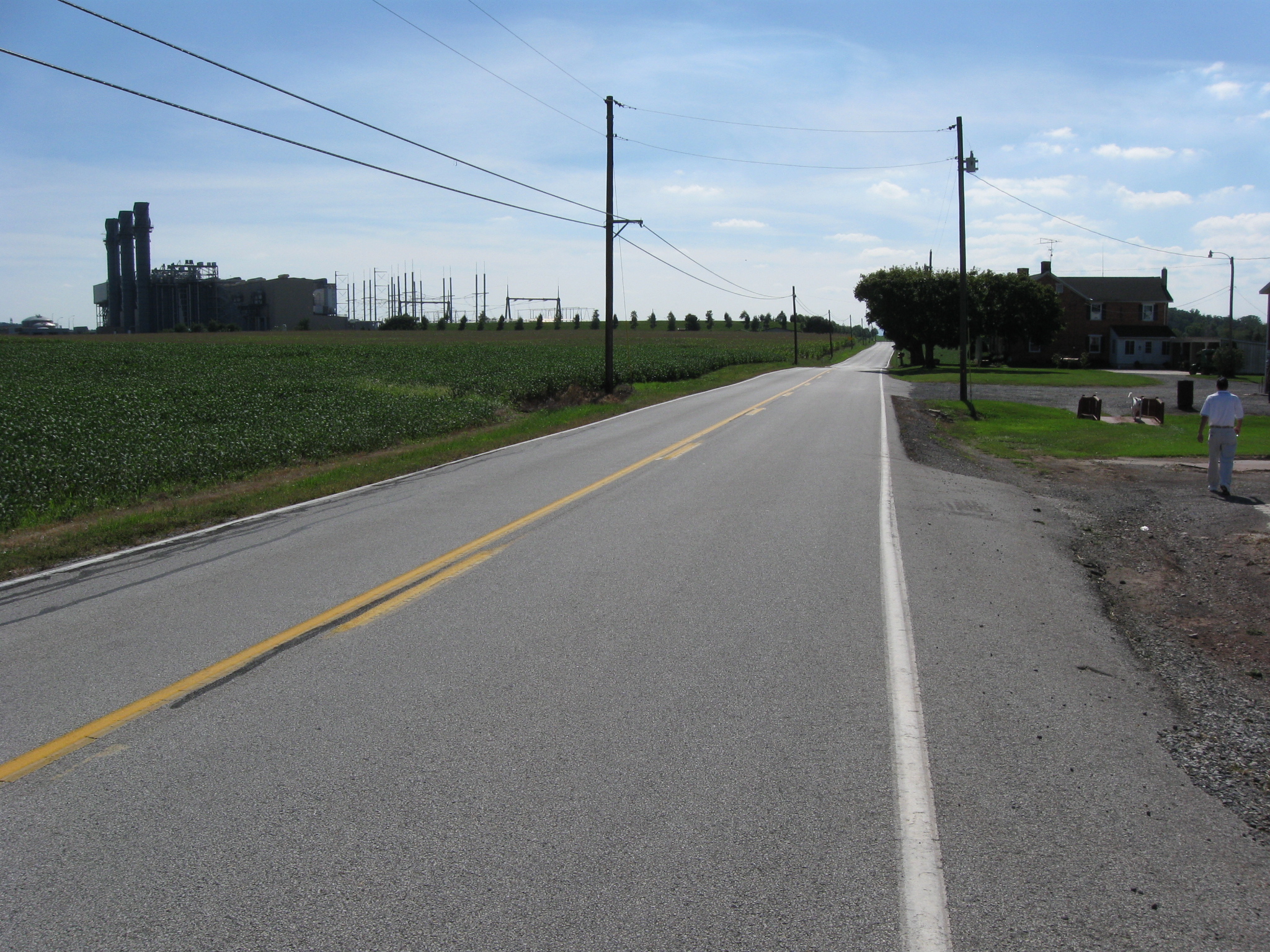
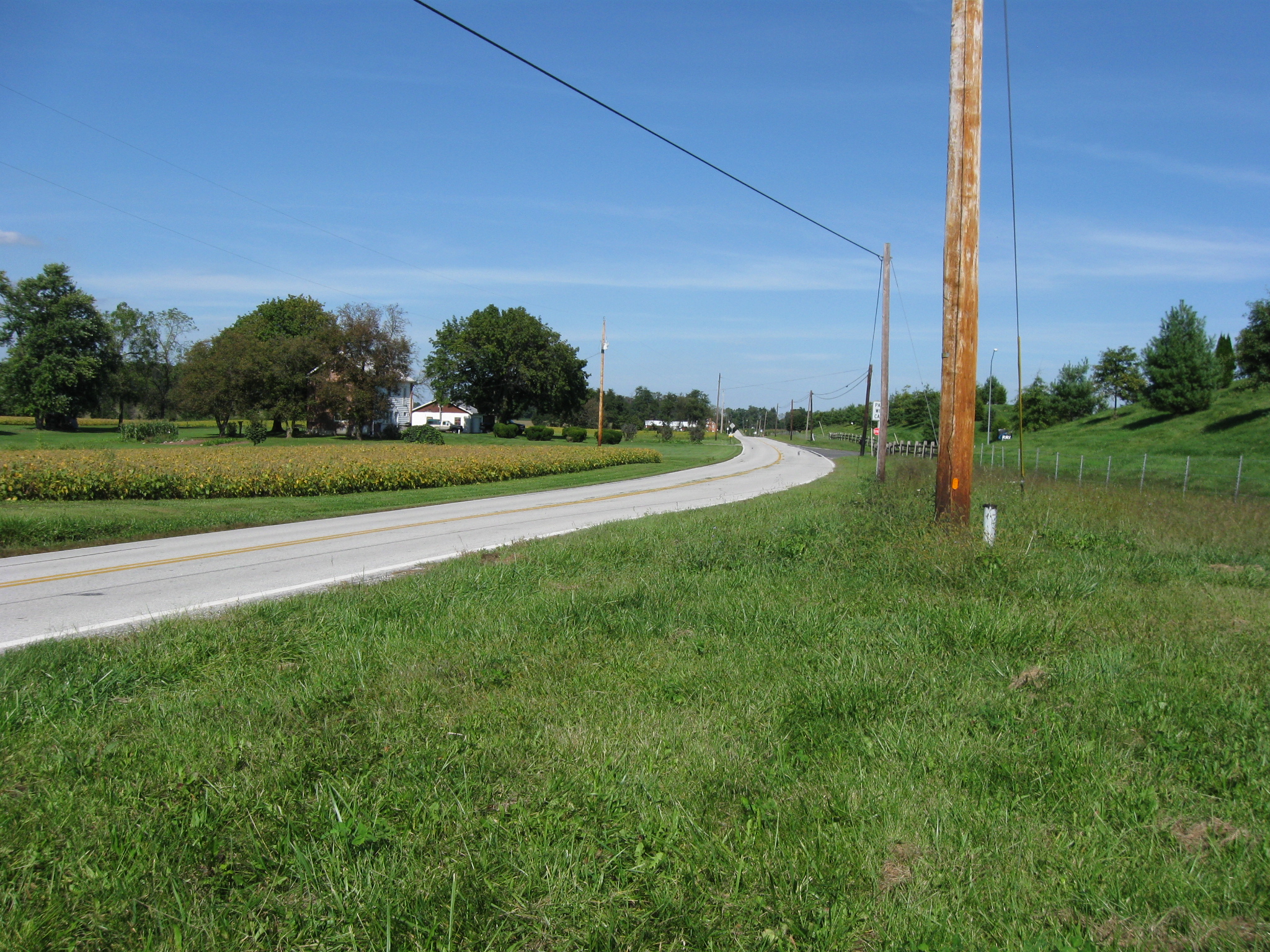
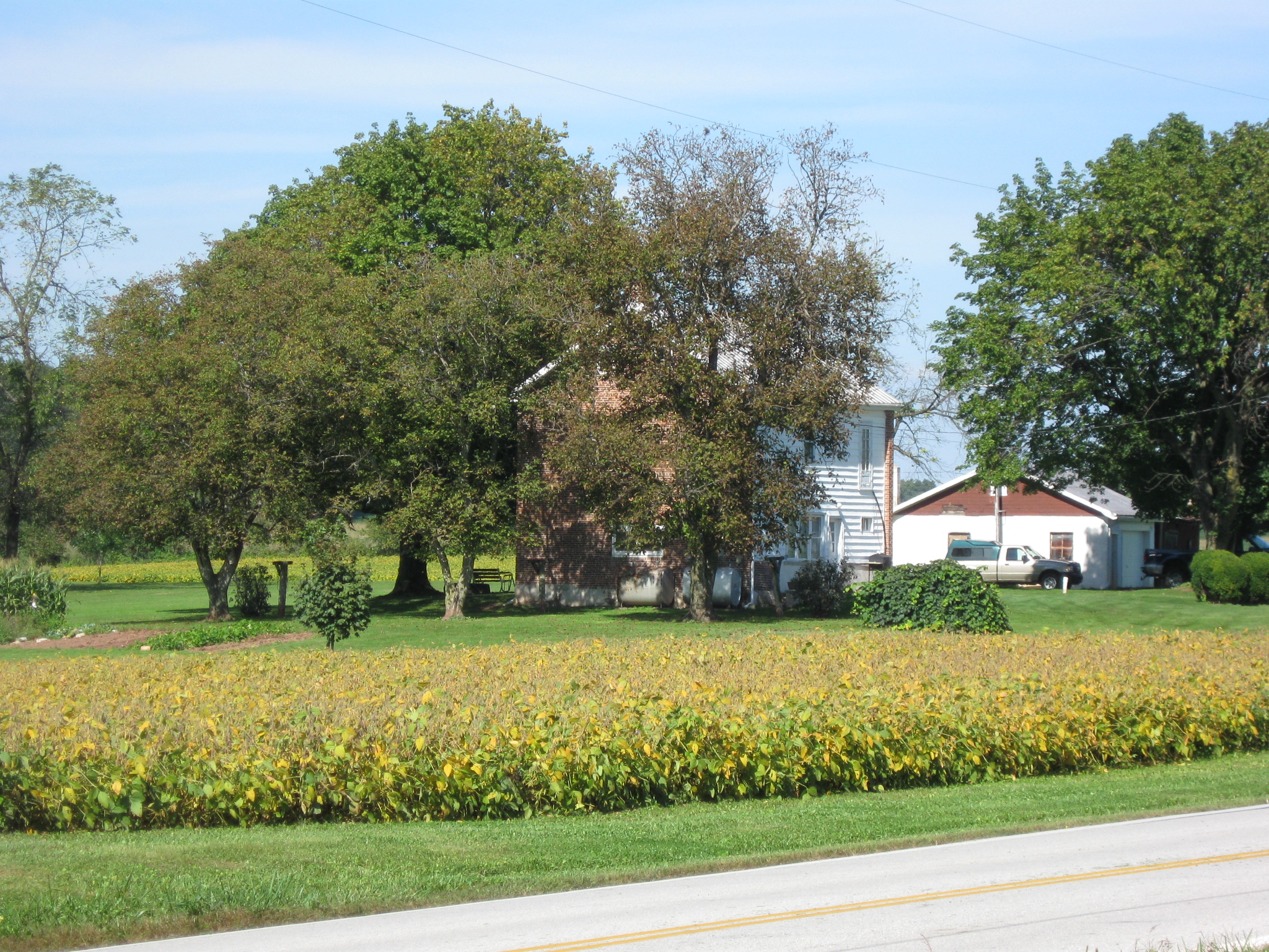
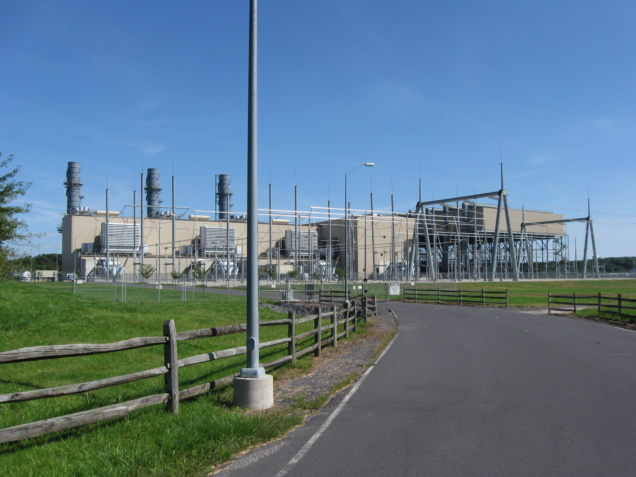
We are looking down the Hunterstown-Gettysburg Road in the direction of Gettysburg. The John Felty House is on the right. The Reliant Energy power plant is in the left background. This view was taken facing southwest at approximately 3:00 PM on Sunday, September 20, 2009.
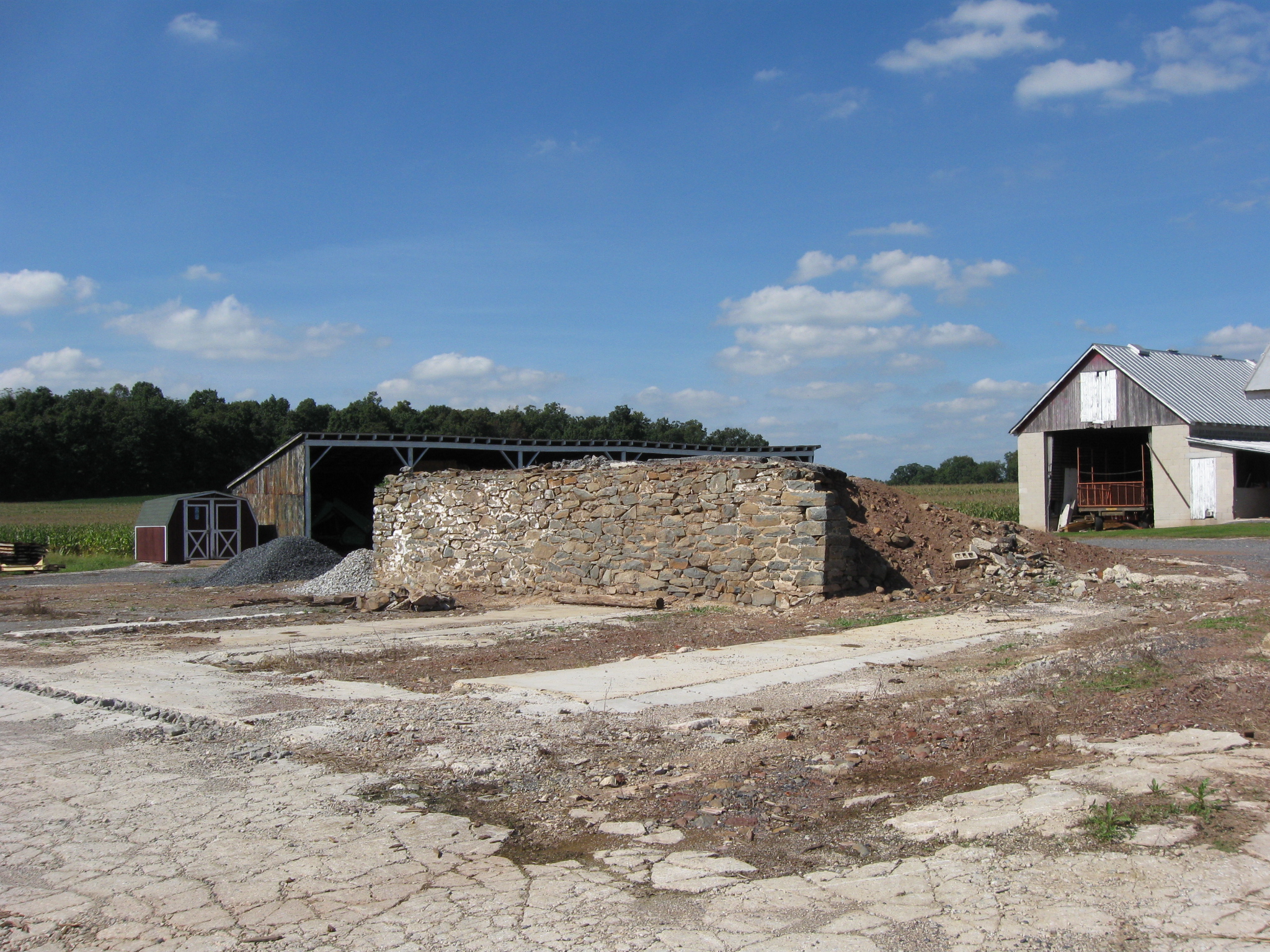
The remains of the John Felty Barn which was torn down in 2007 in anticipation of a 2200 home development in this area. This view was taken facing northwest at approximately 3:00 PM on Sunday, September 20, 2009.
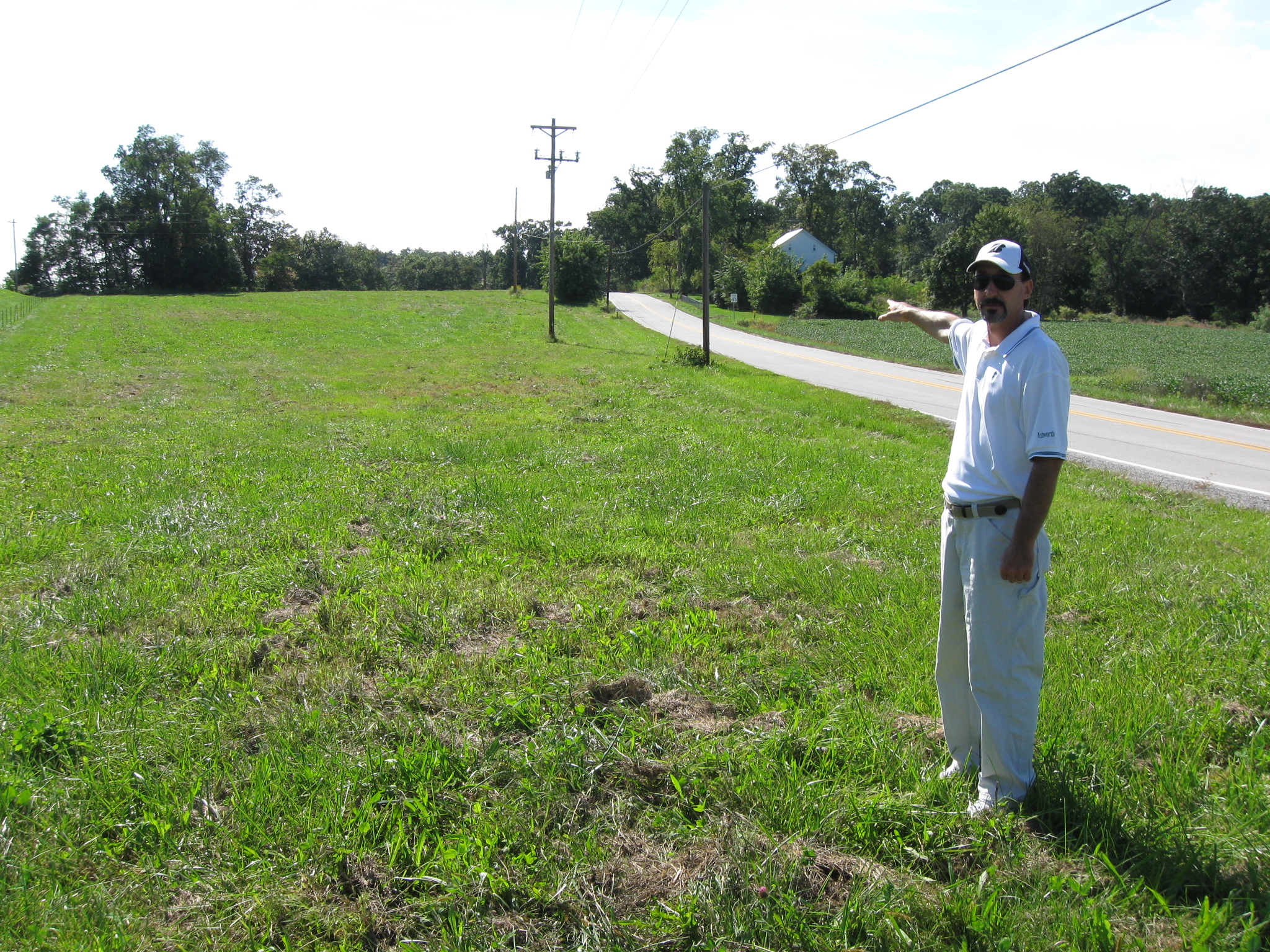
In Video #6 Civil War author J.D. Petruzzi is still standing southwest of Hunterstown, Pennsylvania, on the Hunterstown-Gettysburg Road near the Felty Farm. J.D. points out some landscape features and describes how Brigadier General George Armstrong Custer led a charge from Felty Ridge towards the Confederate position. This view was taken facing northeast at approximately 3:00 PM on Sunday, September 20, 2009.
Civil War authors J.D. Petruzzi and Steve Stanley area standing south of the curve where Brigadier General George Armstrong Custer was almost a casualty during the Battle of Hunterstown. This view was taken facing north at approximately 3:00 PM on Sunday, September 20, 2009.
In Video #7 Civil War authors J.D. Petruzzi and Steven Stanley are standing southwest of Hunterstown, Pennsylvania, on the Hunterstown-Gettysburg Road near the most famous curve on the Hunterstown Battlefield. Here George Armstrong Custer was unhorsed, and his life possibly saved by Private Norvill Churchill. This view was taken facing northeast to southwest to northeast at approximately 3:00 PM on Sunday, September 20, 2009.
Custer Curve. The John Gilbert House is partially hidden by the trees in the left background. This view was taken facing northeast at approximately 3:00 PM on Sunday, September 20, 2009.
Gilbert Ridge was the location of the Confederate position that stopped Custer’s advance. This view was taken facing southwest at approximately 3:00 PM on Sunday, September 20, 2009.
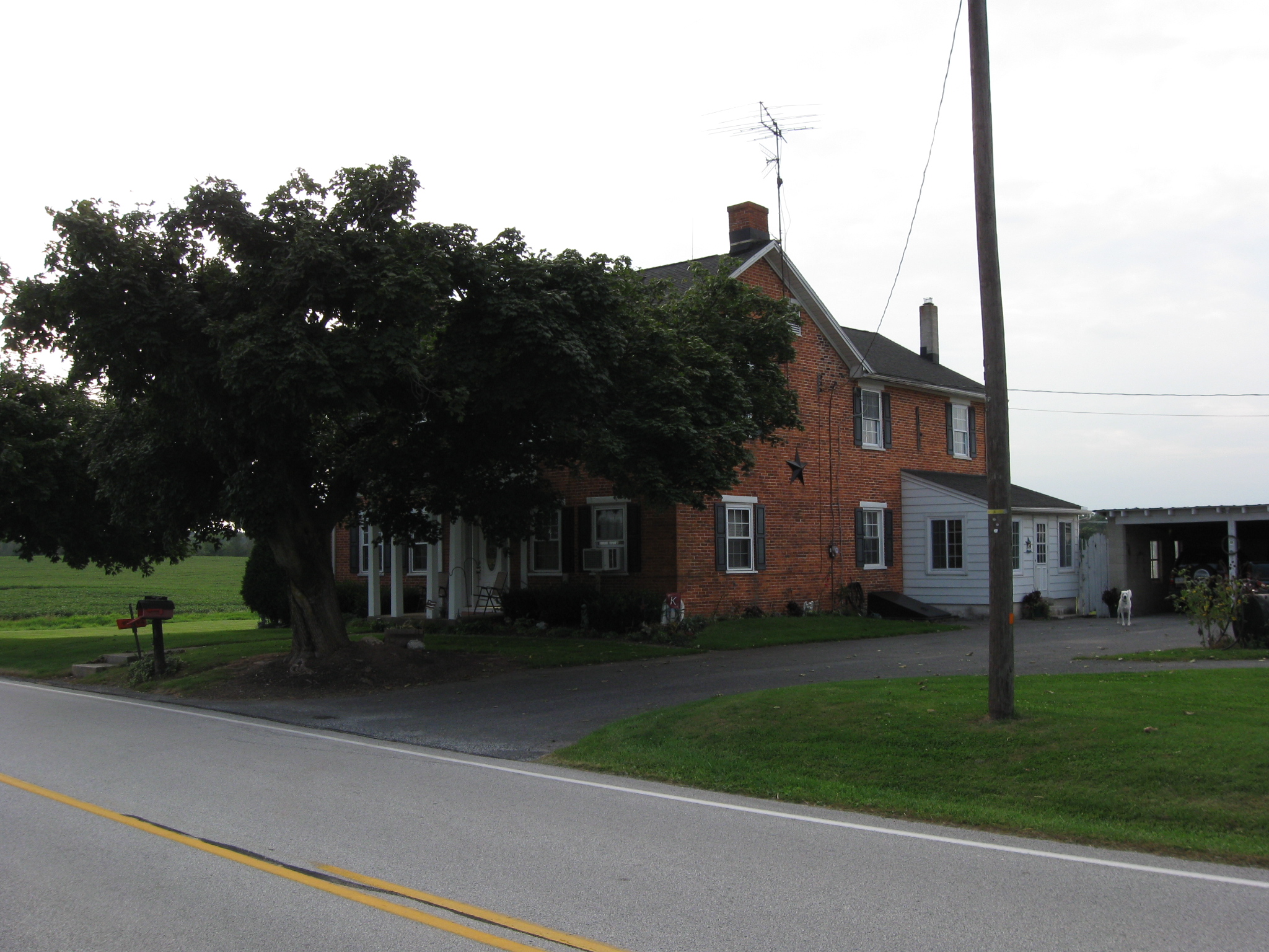
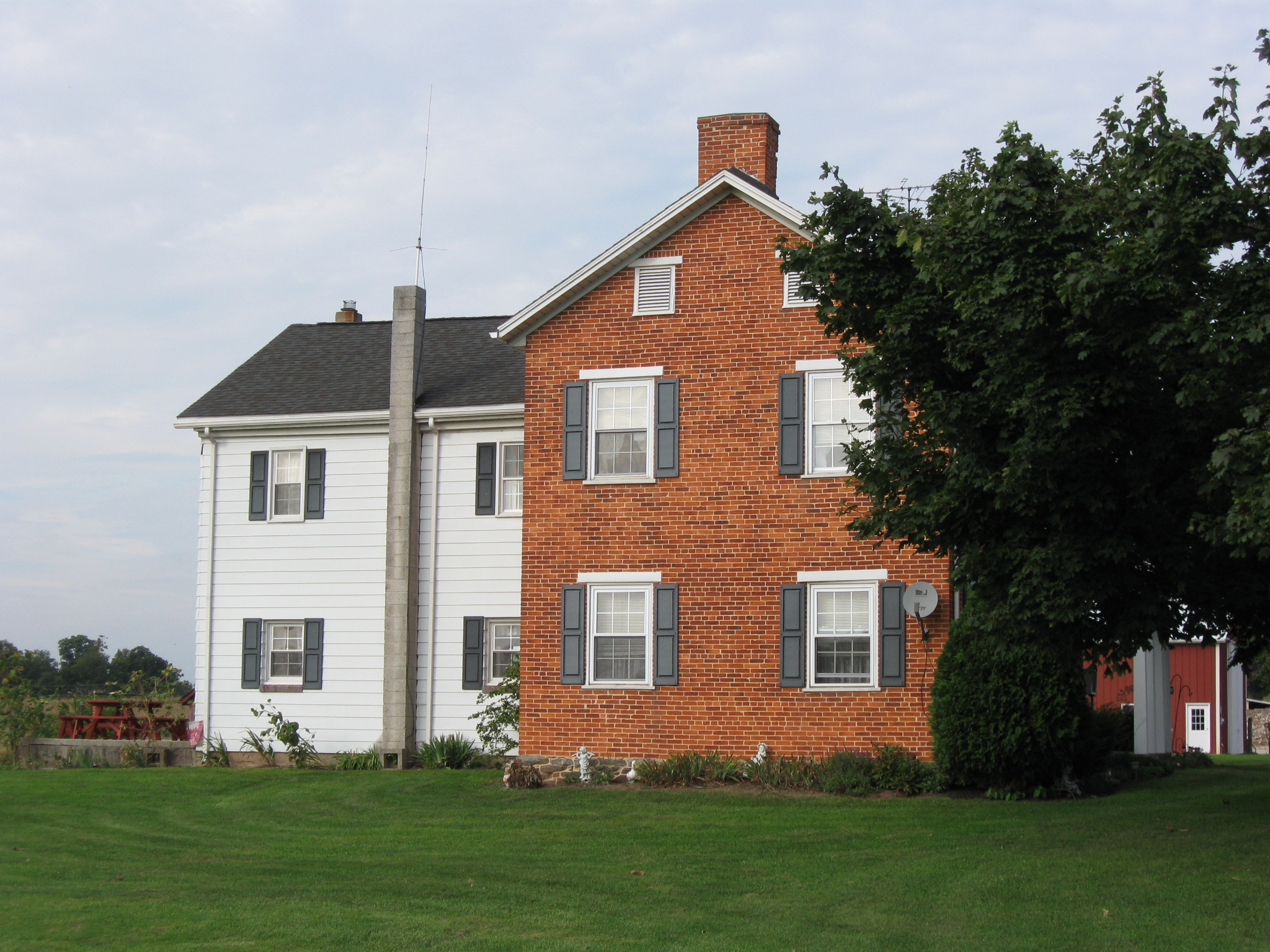
The John Gilbert House. The 1860 census shows that John Gilbert was “white,” a Farmer, 35 years old, born in Pennsylvania, and that his name was John “P” Gilbert. This view was taken facing northwest at approximately 3:00 PM on Sunday, September 20, 2009.
The 1860 census shows that John P. Gilbert lived in the same dwelling and was part of the same family with Rose Gilbert (1828-), born in Pennsylvania; Hannah Gilbert (1848-), born in Pennsylvania; Mary Gilbert (1851-), born in Pennsylvania; Elizabeth Gilbert (1856-), born in Pennsylvania; Hannah Gilbert (1786-), born in Pennsylvania; John Case (1835-), born in Maryland. This view was taken facing northwest at approximately 3:00 PM on Sunday, September 20, 2009.
His real estate had a value of $7000, and his personal estate had a value of $1000. This view was taken facing northwest at approximately 3:00 PM on Sunday, September 20, 2009.
Across the road from the Gilbert House, and prominently siuated on the Hunterstown Battlefield is the Reliant Energy power plant. This view was taken facing southeast at approximately 3:00 PM on Sunday, September 20, 2009.
J.D. Petruzzi is back at the John Felty Farm. The Confederates came towards this position in pursuit of Custer’s men. The Reliant plant is in the left background. The John Felty House is in the right background. This view was taken facing southwest at approximately 3:00 PM on Sunday, September 20, 2009.
In Video #8 Civil War author J.D. Petruzzi is again standing southwest of Hunterstown, Pennsylvania, on the Hunterstown-Gettysburg Road near the Felty Farm. He describes how the Confederate counterattack was repulsed and the fighting ended that evening. This view was taken facing southwest to northeast to northwest to northeast at approximately 3:00 PM on Sunday, September 20, 2009.
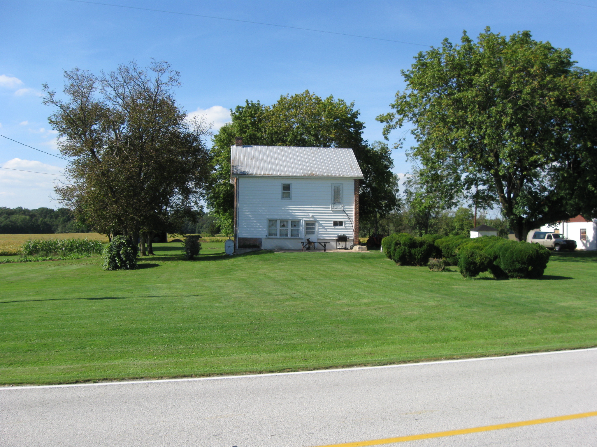
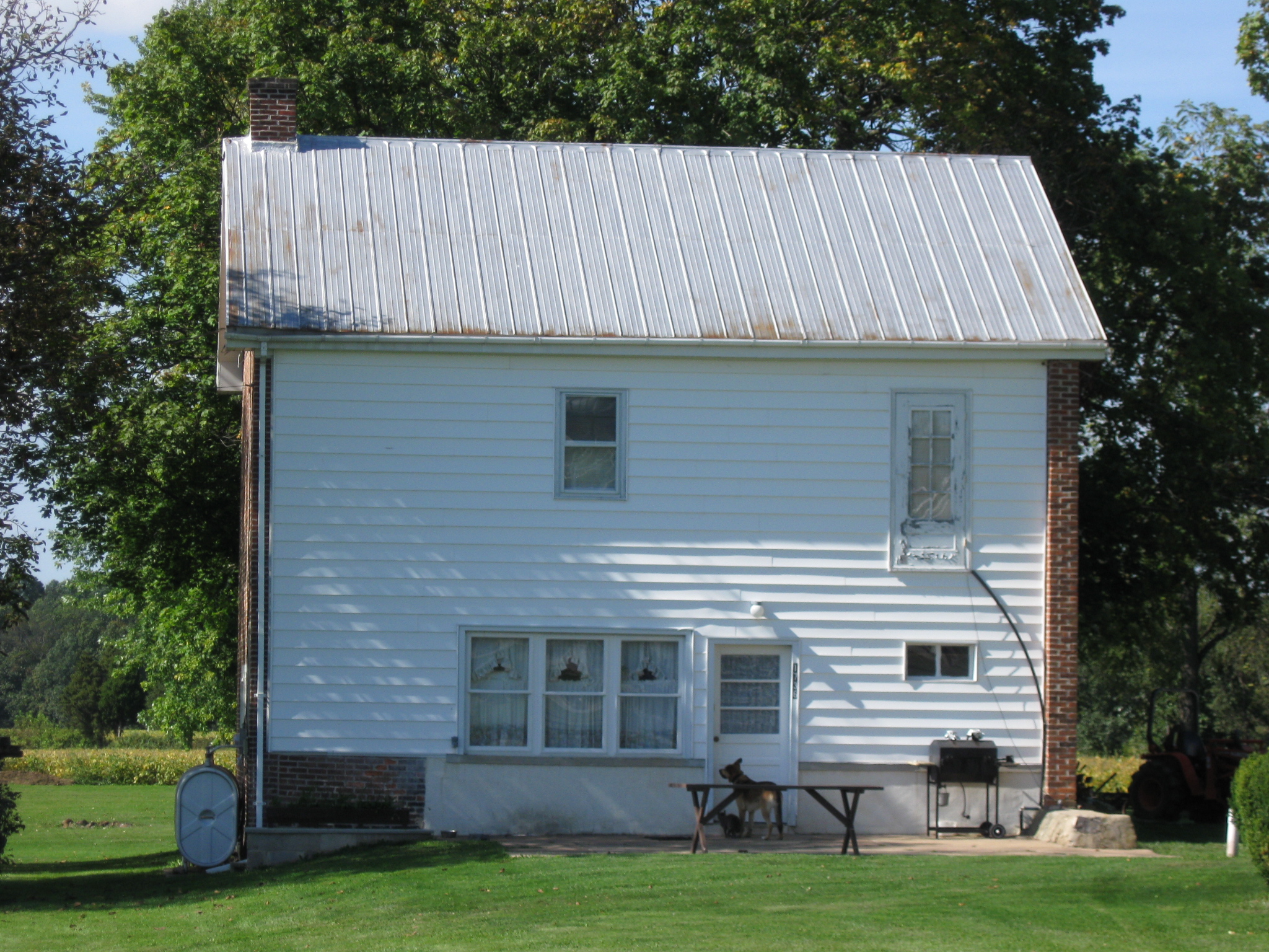
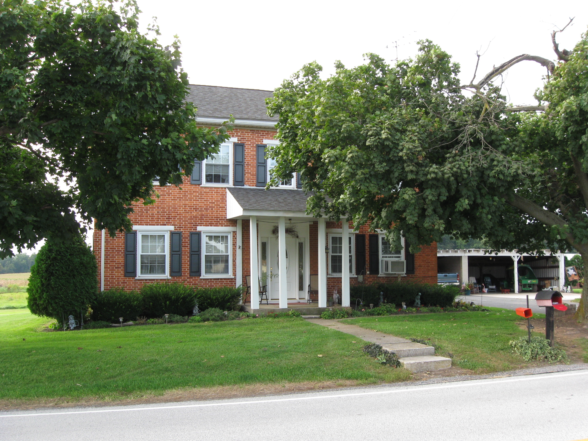
The John Felty House. The 1860 federal census shows that John Felty was “white,” a Farmer, a Magistrate, 40 years old, and that he was born in Pennsylvania. This view was taken facing southwest at approximately 3:00 PM on Sunday, September 20, 2009.
The 1860 federal census also shows that John Felty lived in the same dwelling and was part of the same family with Mary Felty (1820-), born in Pennsylvania; John Felty (1848-), born in Pennsylvania; Adeline Felty (1855-), born in Pennsylvania; Henry Thomas (1845-), born in Pennsylvania; Emilia Thomas (1810-), born in Maryland. This view was taken facing west at approximately 3:00 PM on Sunday, September 20, 2009.
John Felty’s real estate had a value of $6000 and his personal estate had a value of $1200. This view was taken facing northwest at approximately 3:00 PM on Sunday, September 20, 2009.
When the Confederates approached the Union position in pursuit of Custer’s men, they were attacked by Union troops in the wheat on the right (northeast) side of the Hunterstown-Gettysburg Road… This view was taken facing northeast at approximately 3:00 PM on Sunday, September 20, 2009.
…and in the barn which used to be on the on the left (northwest) side of the Hunterstown-Gettysburg Road. This view was taken facing northwest at approximately 3:00 PM on Sunday, September 20, 2009.
J.D. Petruzzi and Steve Stanley are the authors of The Complete Gettysburg Guide. It is available from Savas Beatie. This cover was scanned facing north at approximately 8:00 PM on Monday, September 21, 2009.