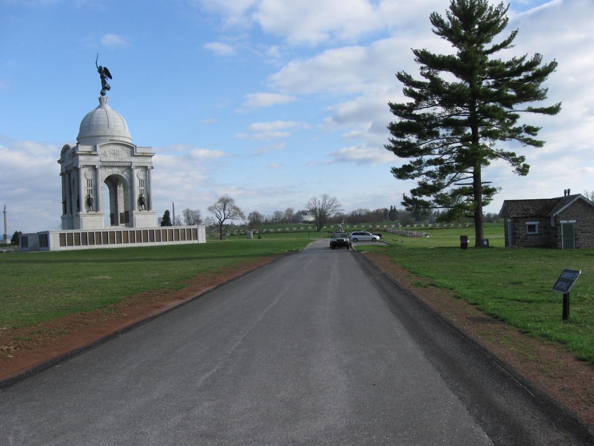
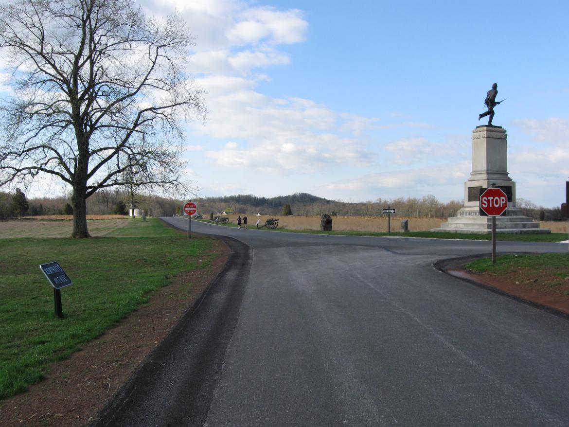
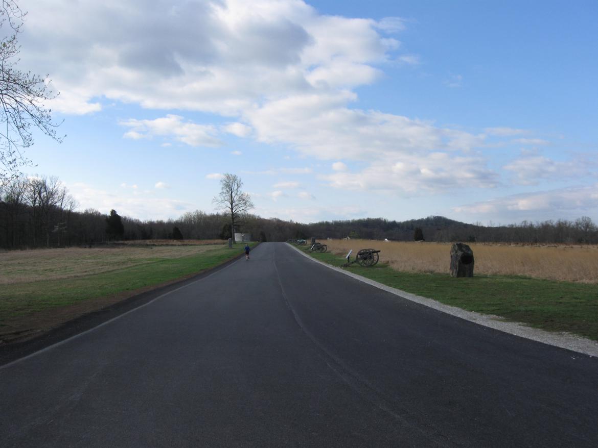
Humphreys Avenue, located east of the Pennsylvania State Memorial, used to be a two way road. It is now one way to the south. This view was taken facing south at approximately 9:00 AM on Sunday, April 17, 2011.
Humphreys Avenue, which used to be a two way road has now been changed to a one way road with traffic now moving south. The advantage is that there should be less congestion on the road. The disadvantage are to busses wanting to turn onto Pleasonton Avenue.
This map shows that Humphreys Avenue, along with Hancock Avenue and Pleasonton Avenue, forms a triangle around the Pennsylvania State Monument. This map was created facing north at approximately 3:00 PM on Sunday, April 17, 2011.
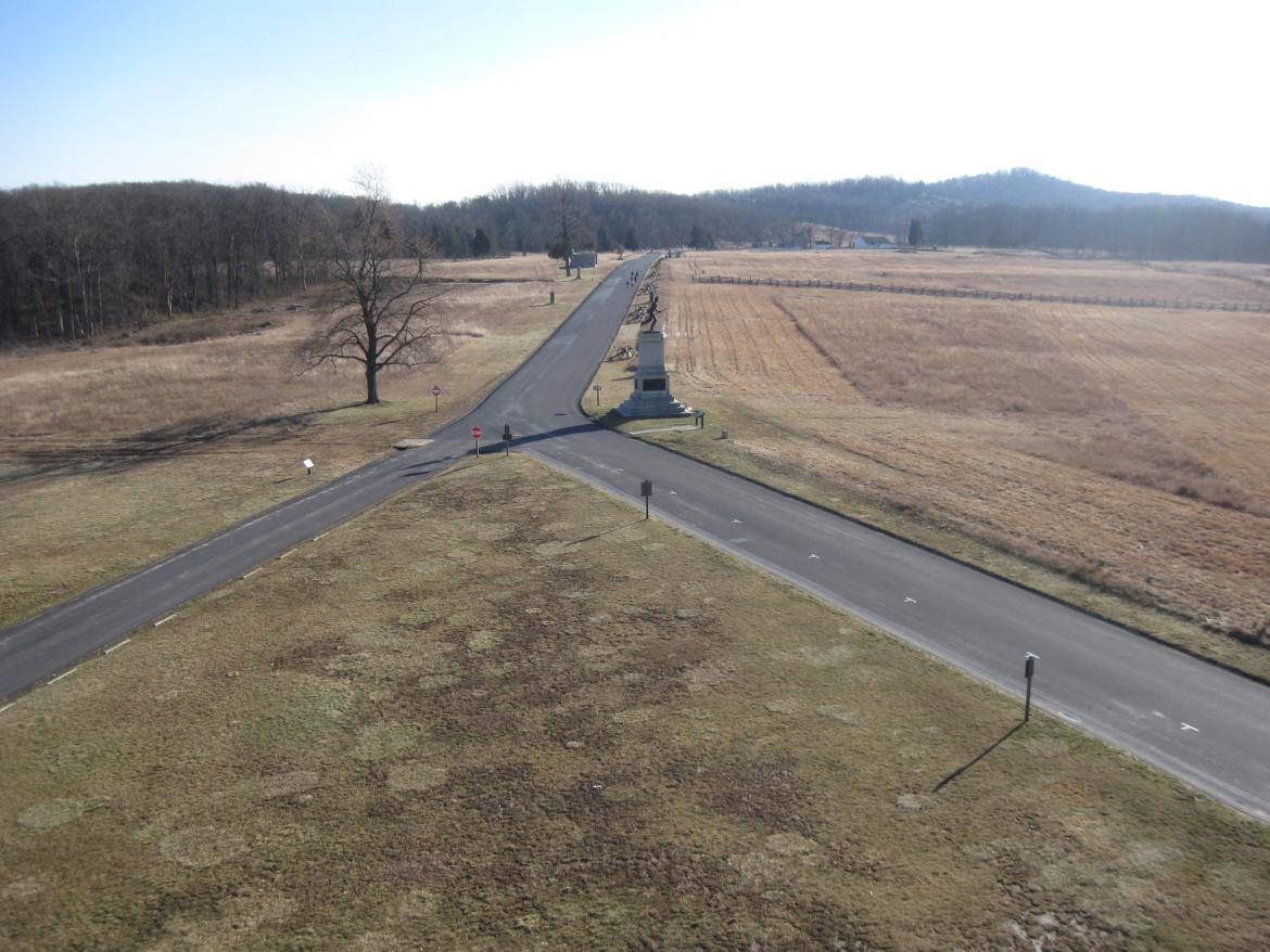
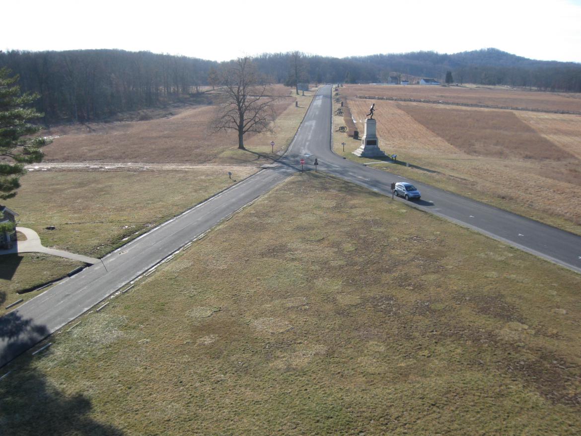
We are standing on top of the Pennsylvania State Monument. Previously, visitors leaving the Round Tops (shown in the right background) and moving north along Cemetery Ridge’s Hancock Avenue (towards the camera) had an option when they reached the area of the Pennsylvania Memorial. They could continue north on the road on the left (Humphreys Avenue) or continue north on the road on the right (Hancock Avenue). This view was taken facing southeast at approximately 2:30 PM on Thursday, December 25, 2008.
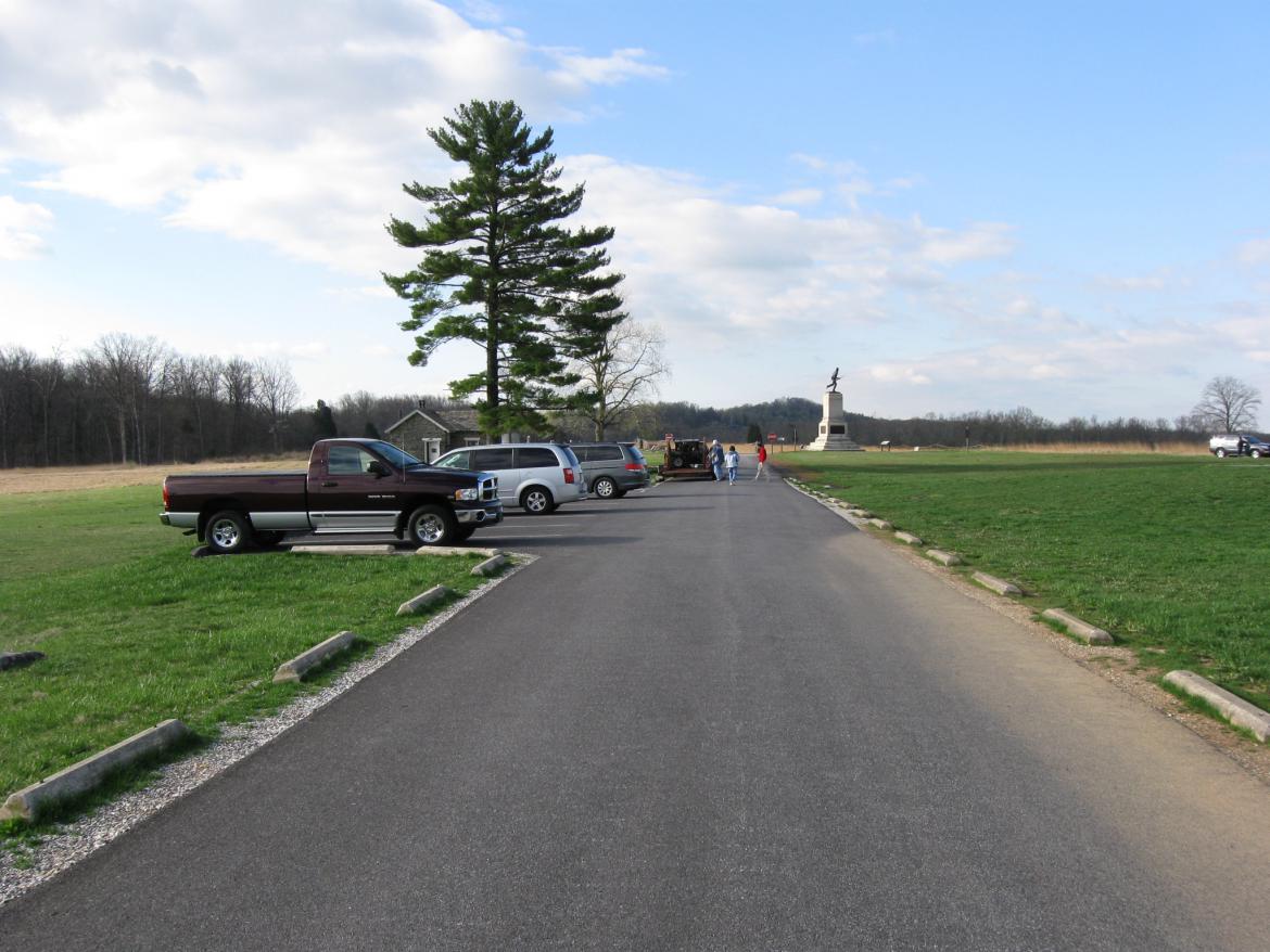
However, a problem developed in the busier time of the year, especially on weekends. Humphreys Avenue, with parking on the left, two way traffic, and curbs attempting to keep visitors from driving on the grass, sometimes became a “choke point.” This view was taken facing south at approximately 9:00 AM on Sunday, April 17, 2011.
And when living history demonstrations are performing here on weekends, the traffic in this area became extremely heavy. This view was taken facing northeast at approximately 9:00 AM on Sunday, April 17, 2011.
And as living history groups unloaded their equipment the road really became clogged. National Park Service employees reported to us that sometimes traffic would be stuck facing each other in this area. With cars stacked up behind each other and not able to move forward or backwards, some visitors actually placed their vehicles in park and left them unattended in the middle of the avenue… This view was taken facing north at approximately 9:00 AM on Sunday, April 17, 2011.
…while they walked over to see the living history demonstrations on the other (west) side of the First Minnesota Monument. This view was taken facing southwest at approximately 9:00 AM on Sunday, April 17, 2011.
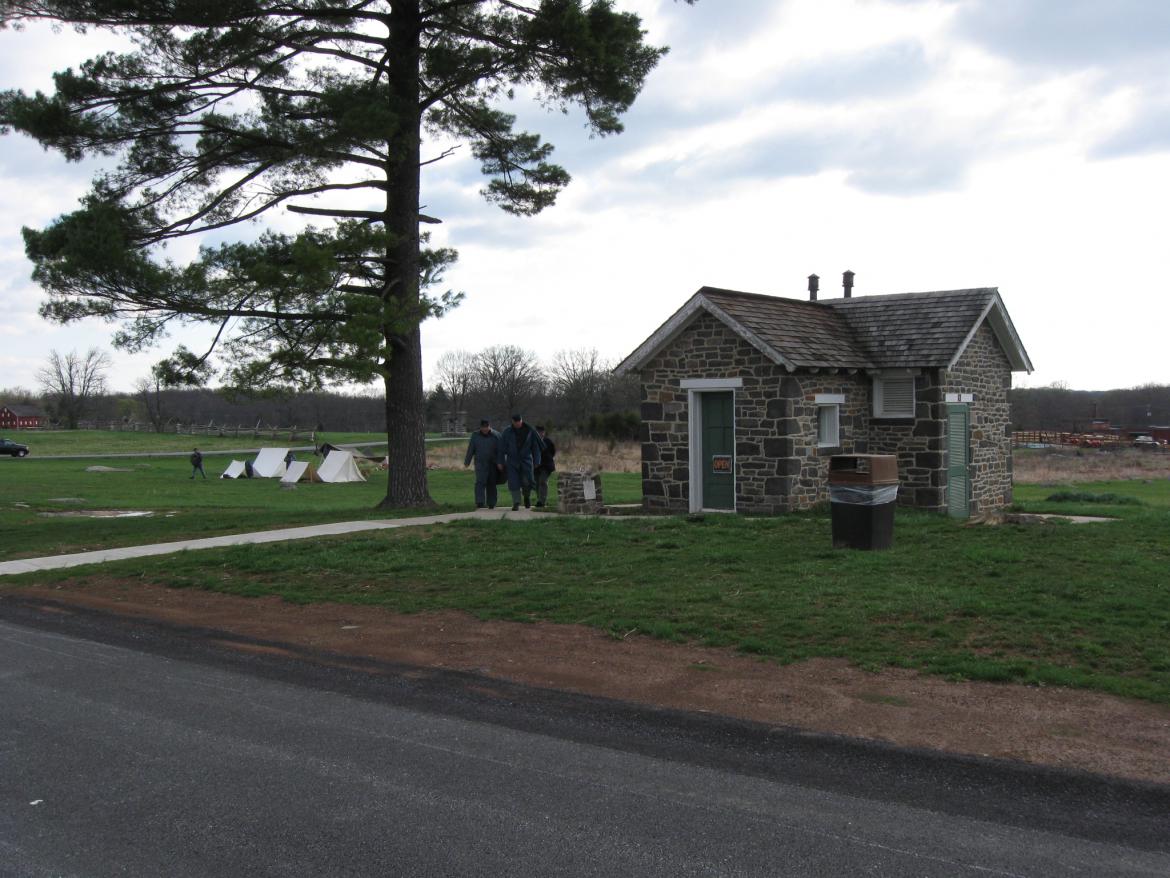
For visitors who were moving north on Hancock Avenue in search of a restroom, it was very convenient to take Humphreys Avenue and pull in front of the restroom, located on the right. This view was taken facing north at approximately 9:00 AM on Sunday, April 17, 2011.
And for Licensed Battlefield Guides taking busses on the battlefield, this was the best way to leave Cemetery Ridge to go to Culp’s Hill. This view was taken facing north at approximately 9:00 AM on Sunday, April 17, 2011.
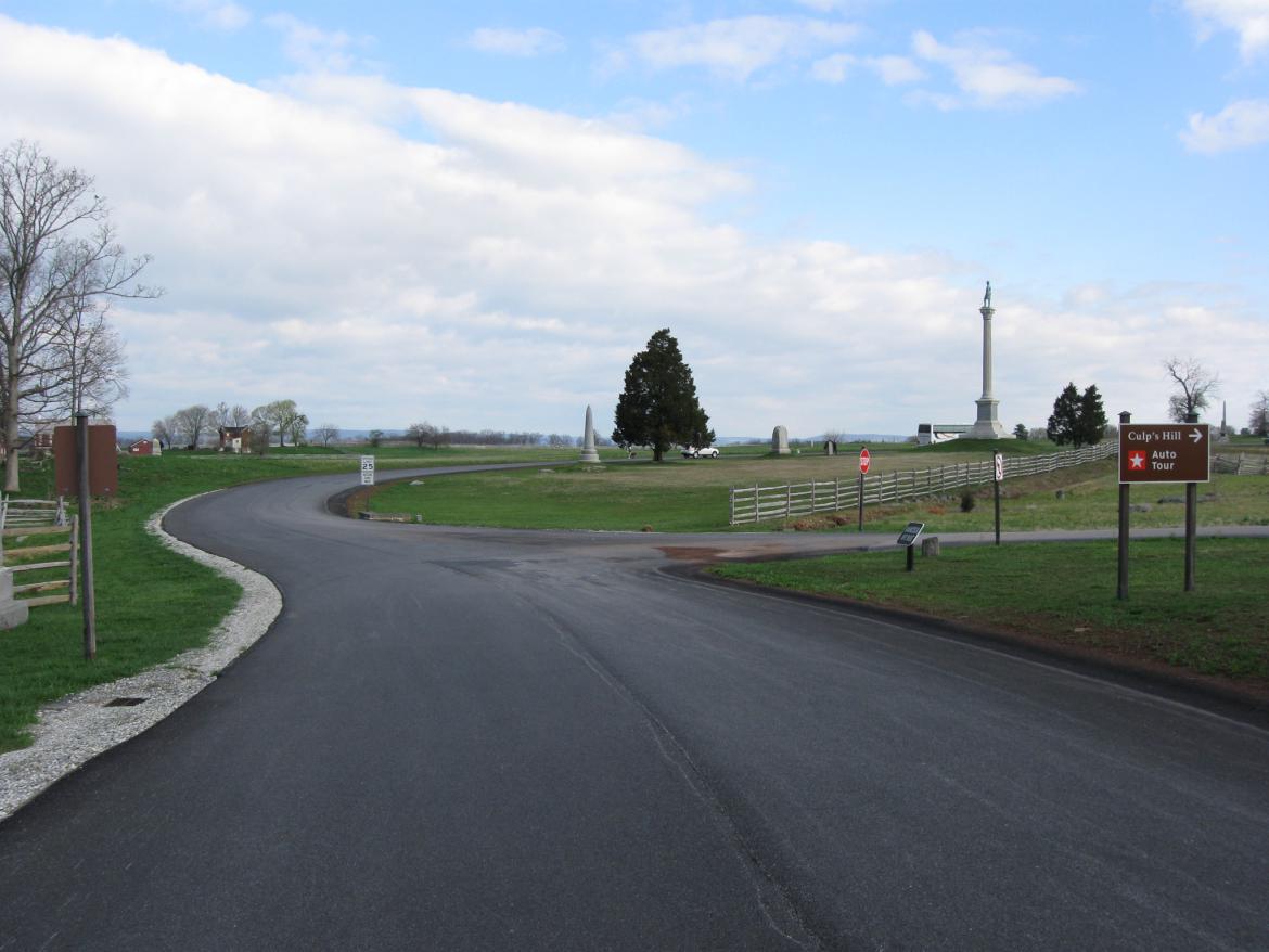
As you approached Pleasonton Avenue… This view was taken facing north at approximately 9:00 AM on Sunday, April 17, 2011.
… the bus could make a 90 degree right turn here. This view was taken facing east at approximately 9:00 AM on Sunday, April 17, 2011.
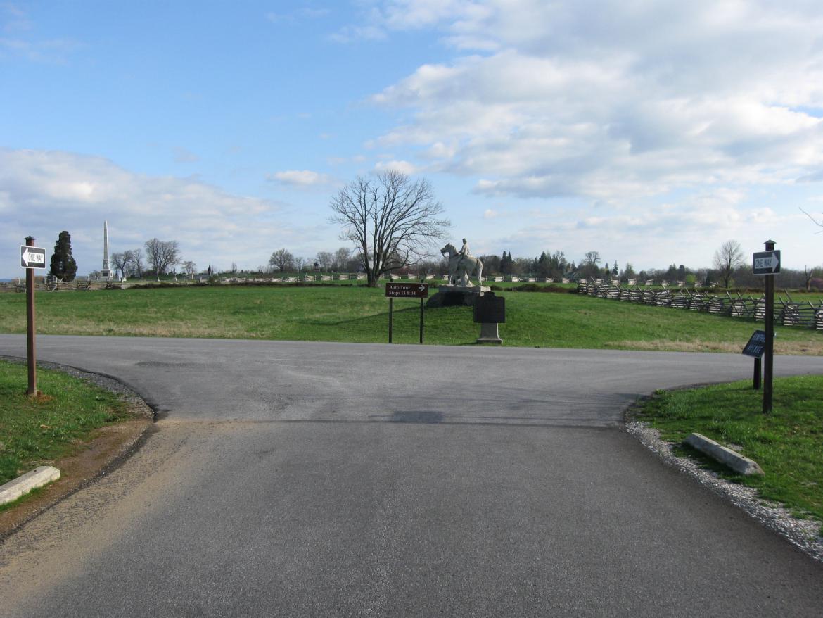
By the way, this auto tour sign doesn’t do a lot of good anymore since cars can’t drive towards it to see it. This view was taken facing north at approximately 9:00 AM on Sunday, April 17, 2011.
Now guides with busses will stay on Hancock Avenue, driving on this side of the Pennsylvania Monument…This view was taken facing northwest at approximately 7:00 AM on Thursday, July 9, 2010.
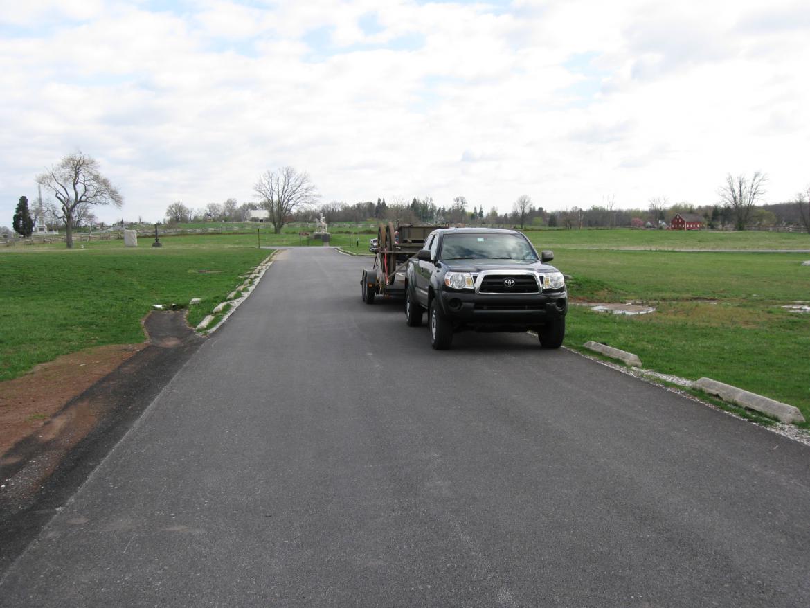
… and driving towards the brown sign on the right. This view was taken facing northwest at approximately 9:00 AM on Sunday, April 17, 2011.
The bus will have to swing out wide to the left before it makes the turn… This view was taken facing west at approximately 9:00 AM on Sunday, April 17, 2011.
…because this is more than a 90 degree turn… This view was taken facing north at approximately 9:00 AM on Sunday, April 17, 2011.
…and the bus will swing out into the oncoming lane of traffic. This view was taken facing northeast at approximately 9:00 AM on Sunday, April 17, 2011.
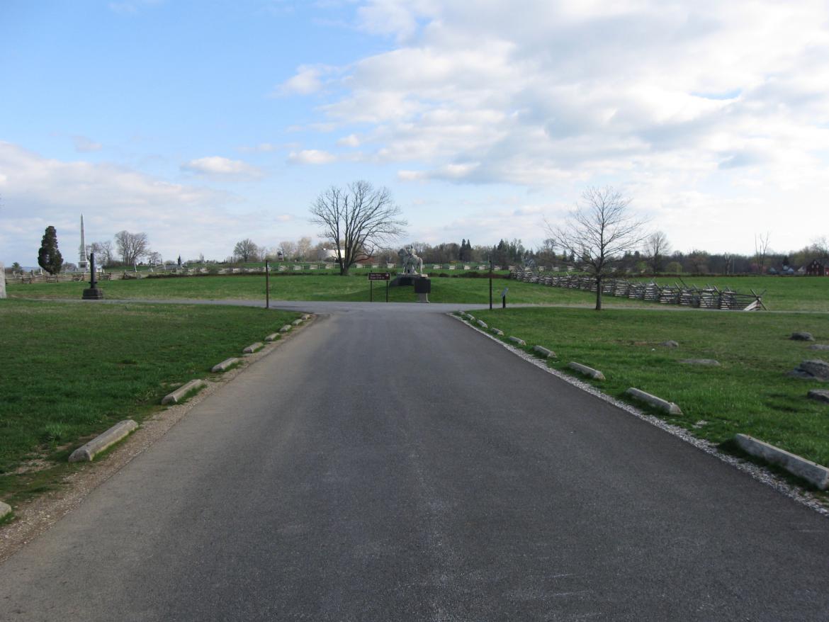
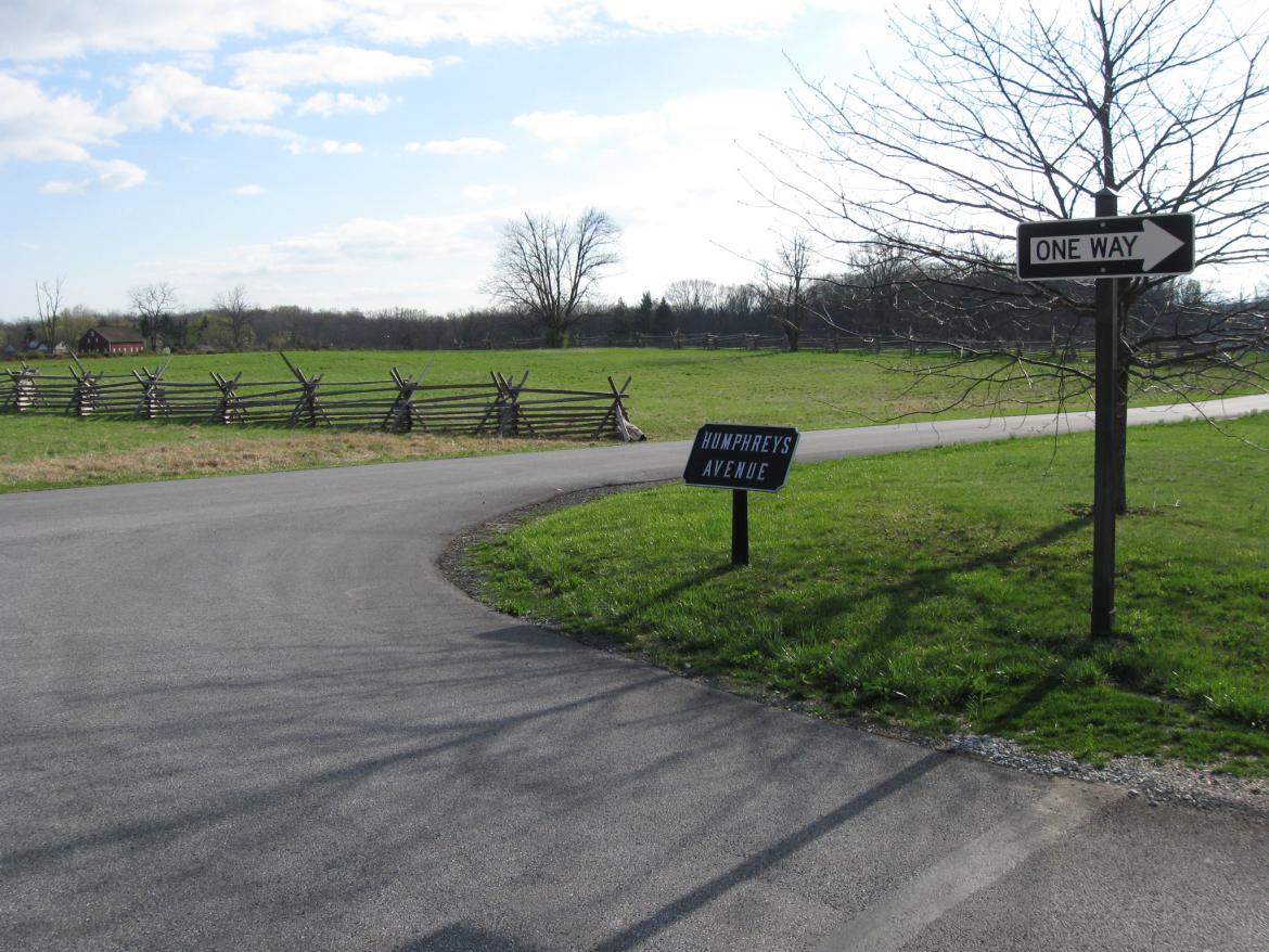
Another potential problem with the new setup is that if visitors see the one way sign pointing them south on Humphreys Avenue… This view was taken facing north at approximately 9:00 AM on Sunday, April 17, 2011.
… that fact could be stuck in your head as you are heading south towards Hancock Avenue, and not being distracted by living history demonstrations and the Pennsylvania Memorial. This view was taken facing south at approximately 9:00 AM on Sunday, April 17, 2011.
You do have plenty of signs telling you what to do at this junction with Hancock Avenue. This view was taken facing south at approximately 9:00 AM on Sunday, April 17, 2011.
But if you’re not paying attention, and you think you’re on a one way road going south… This view was taken facing south at approximately 9:00 AM on Sunday, April 17, 2011.
… and you miss this one way sign… This view was taken facing south at approximately 9:00 AM on Sunday, April 17, 2011.
… then you could be illegally and unsafely traveling south on Hanock Avenue as visitors do fairly often anyway, and as a visitor was doing the morning we were taking these pictures when we were driving north on Hancock (towards the camera). This view was taken facing south at approximately 7:00 AM on Thursday, July 9, 2010.
There will probably never be a perfect solution here, and Humphreys needed to be one way (one way or the other). So now if you need to use the restroom here (which has running water)… This view was taken facing northeast at approximately 9:00 AM on Sunday, April 17, 2011.
…just try to remember to park along Hancock Avenue where the van is parked. Then walk across the grass to the restroom, part of which is visible on the left. This view was taken facing south at approximately 2:30 PM on Thursday, December 25, 2008.


