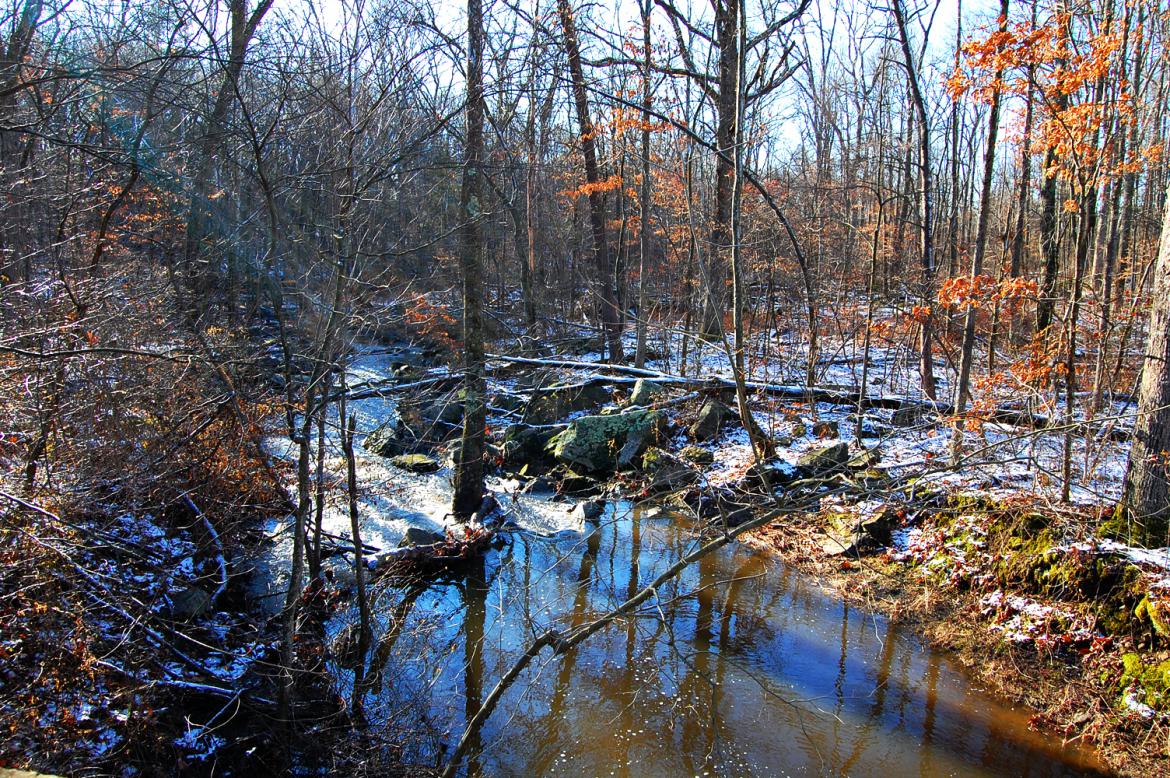
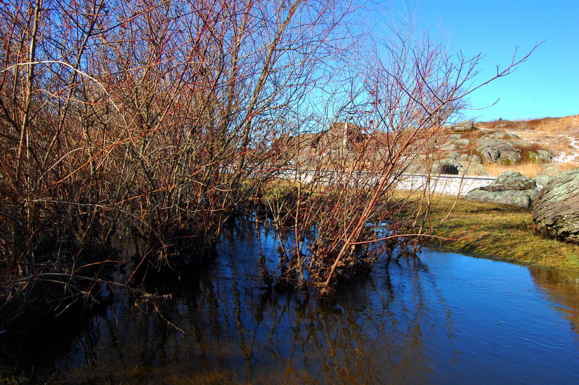
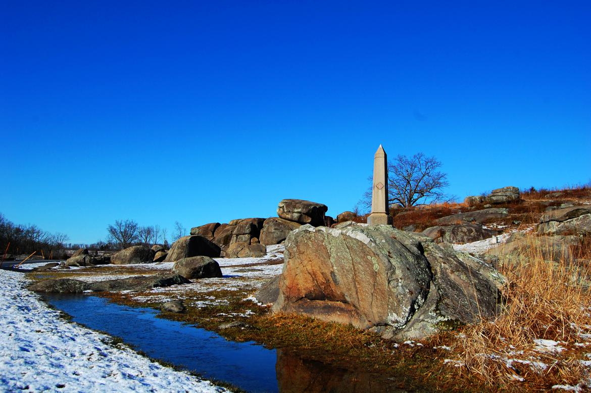
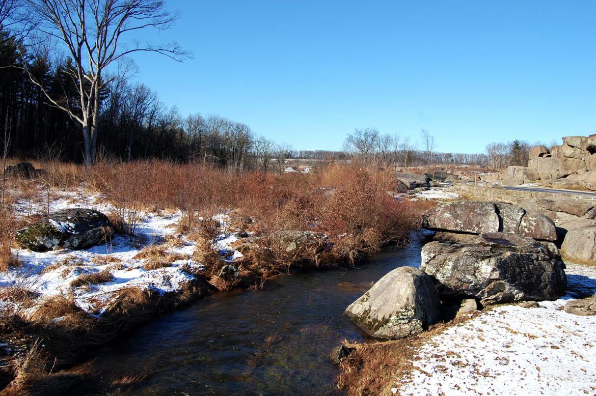
Plum Run. This view was taken facing northeast at approximately 8:00 AM on Monday, March 7, 2011.
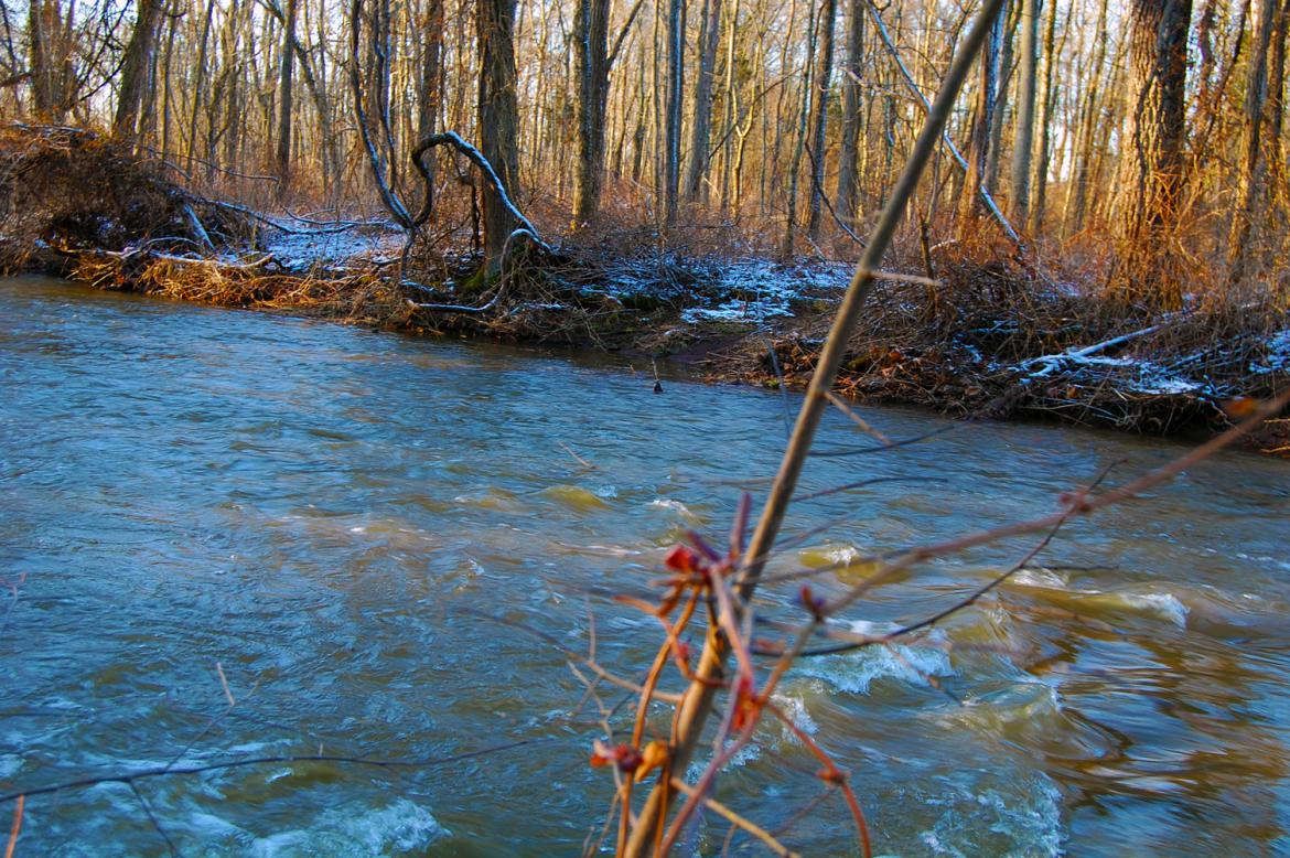
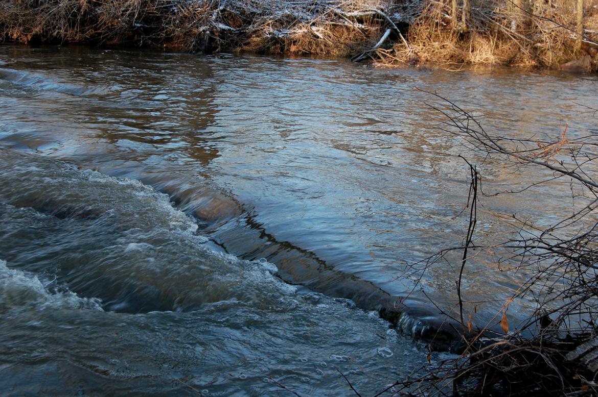
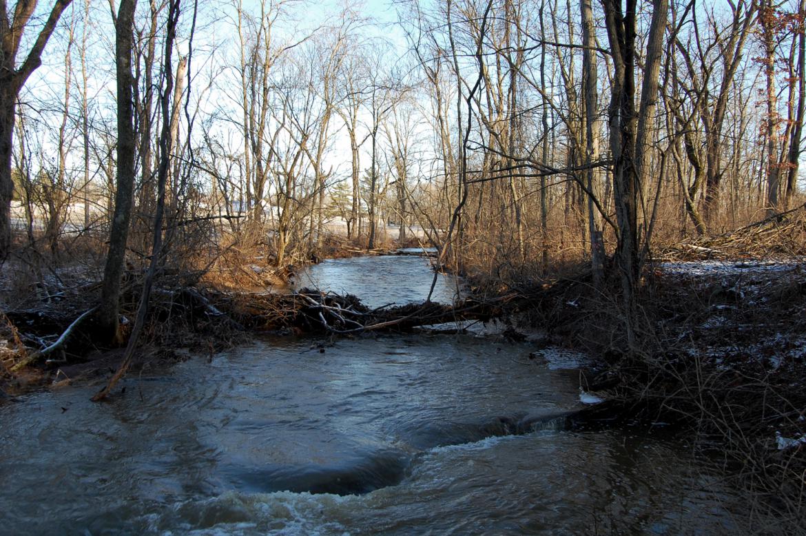
Severe precipitation throughout the last week caused high water levels in several areas of the battlefield. Today we will show you some photos of a visit to Willoughby Run and and a portion of Plum Run.
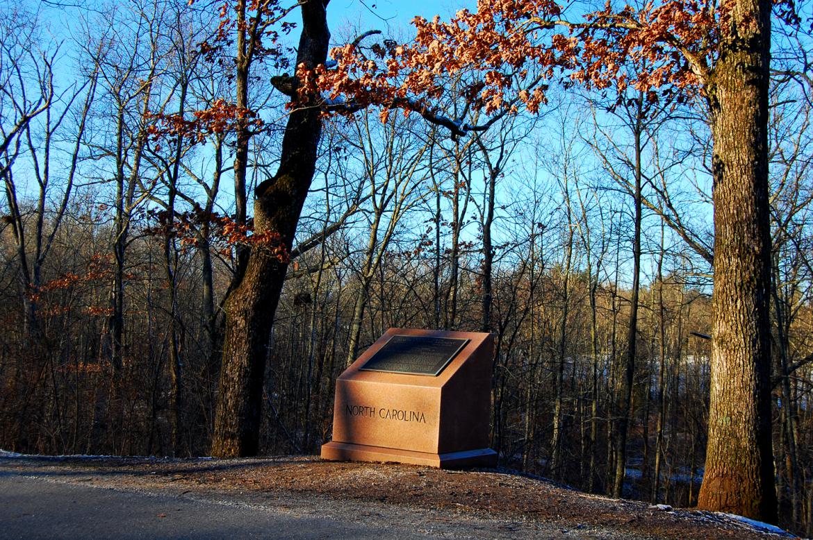
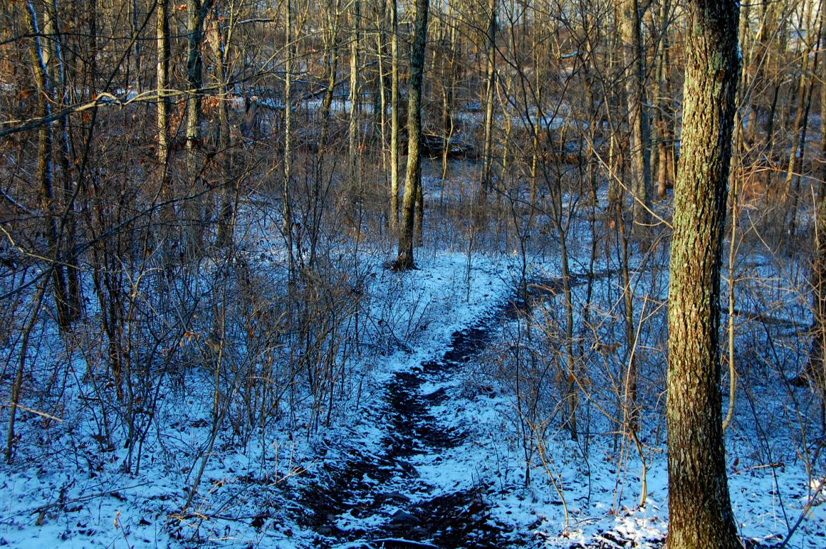
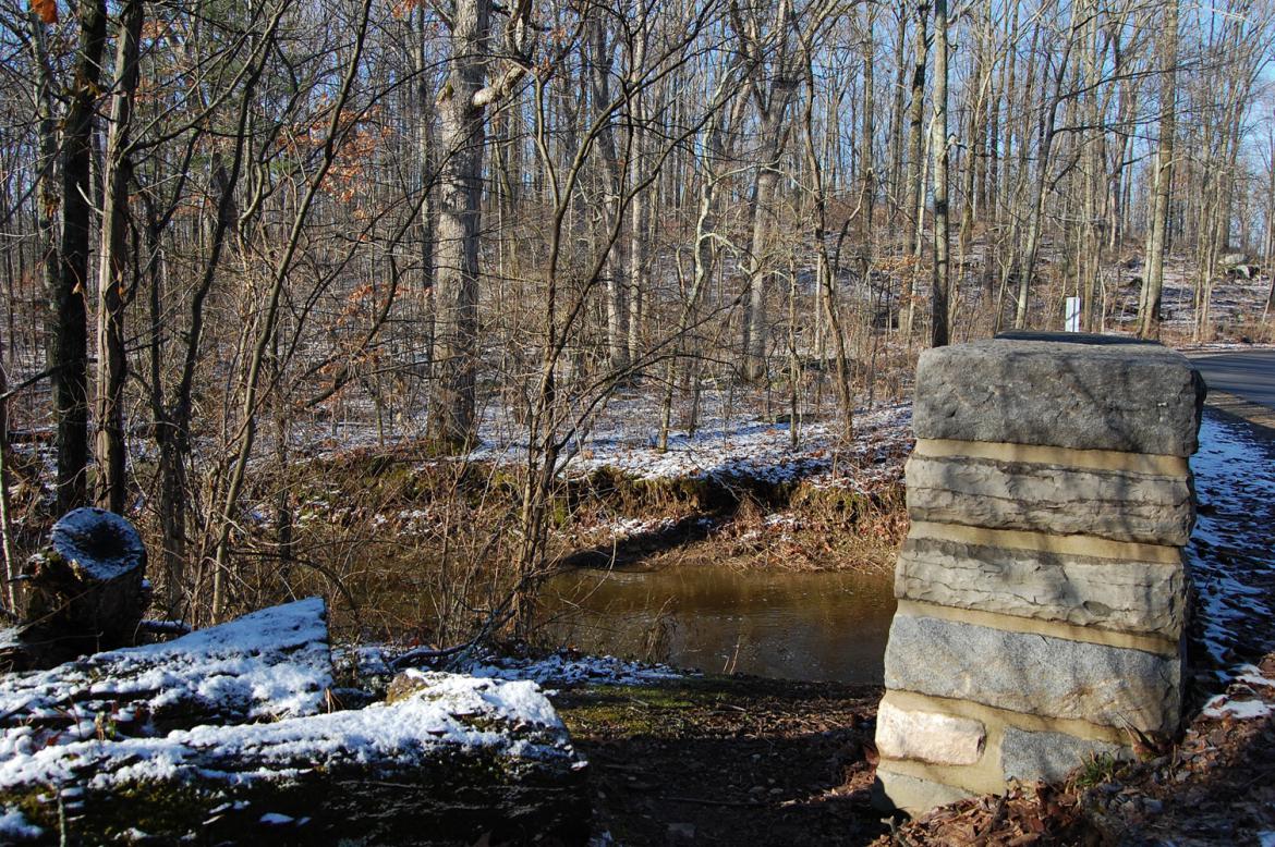
We’ll access Willoughy Run from the trail next to the 26th North Carolina monument. This view was taken facing southwest at approximately 8:00 AM on Monday, March 7, 2011.
This view was taken facing west at approximately 8:00 AM on Monday, March 7, 2011.
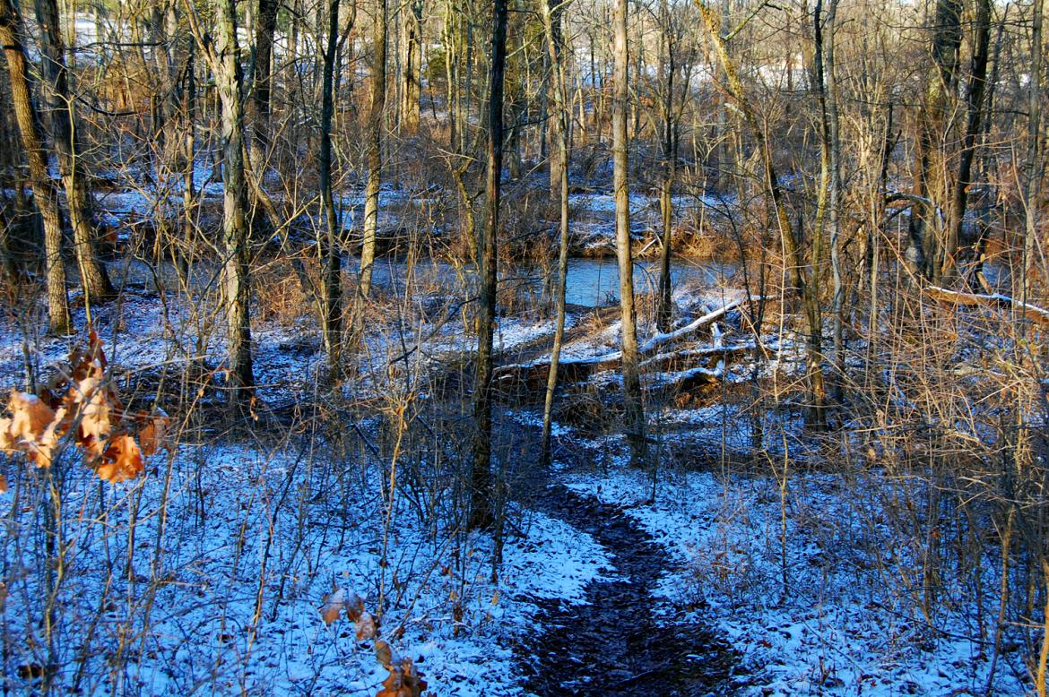
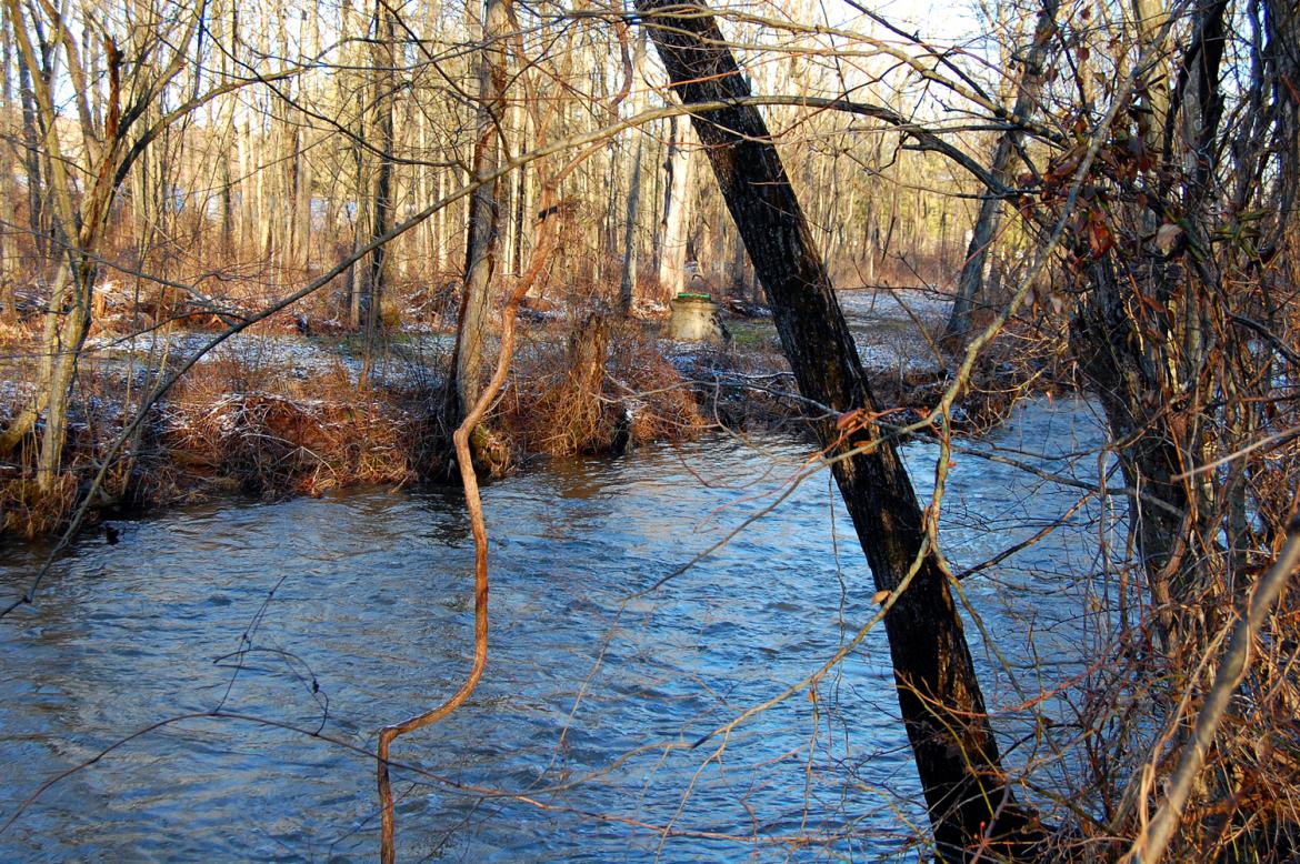
Part of the reason for the rising water levels has been melting snow. This view was taken facing west at approximately 8:00 AM on Monday, March 7, 2011.
Willoughby Run. This view was taken facing northwest at approximately 8:00 AM on Monday, March 7, 2011.
This view was taken facing southwest at approximately 8:00 AM on Monday, March 7, 2011.
This view was taken facing west at approximately 8:00 AM on Monday, March 7, 2011.
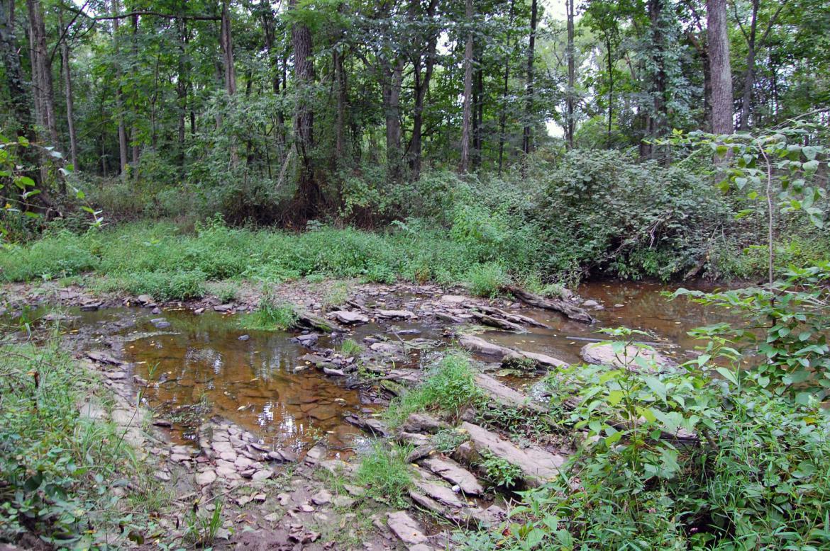
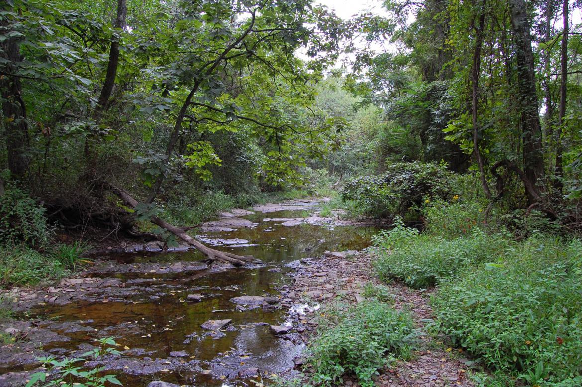
Here’s a photo of the stream in late summer of last year, taken from the same location. This view was taken facing west at approximately 2:40 PM on Wednesday, August 25, 2010.
This view was taken facing southeast at approximately 2:40 PM on Wednesday, August 25, 2010.
This view was taken facing southwest at approximately 8:00 AM on Monday, March 7, 2011.
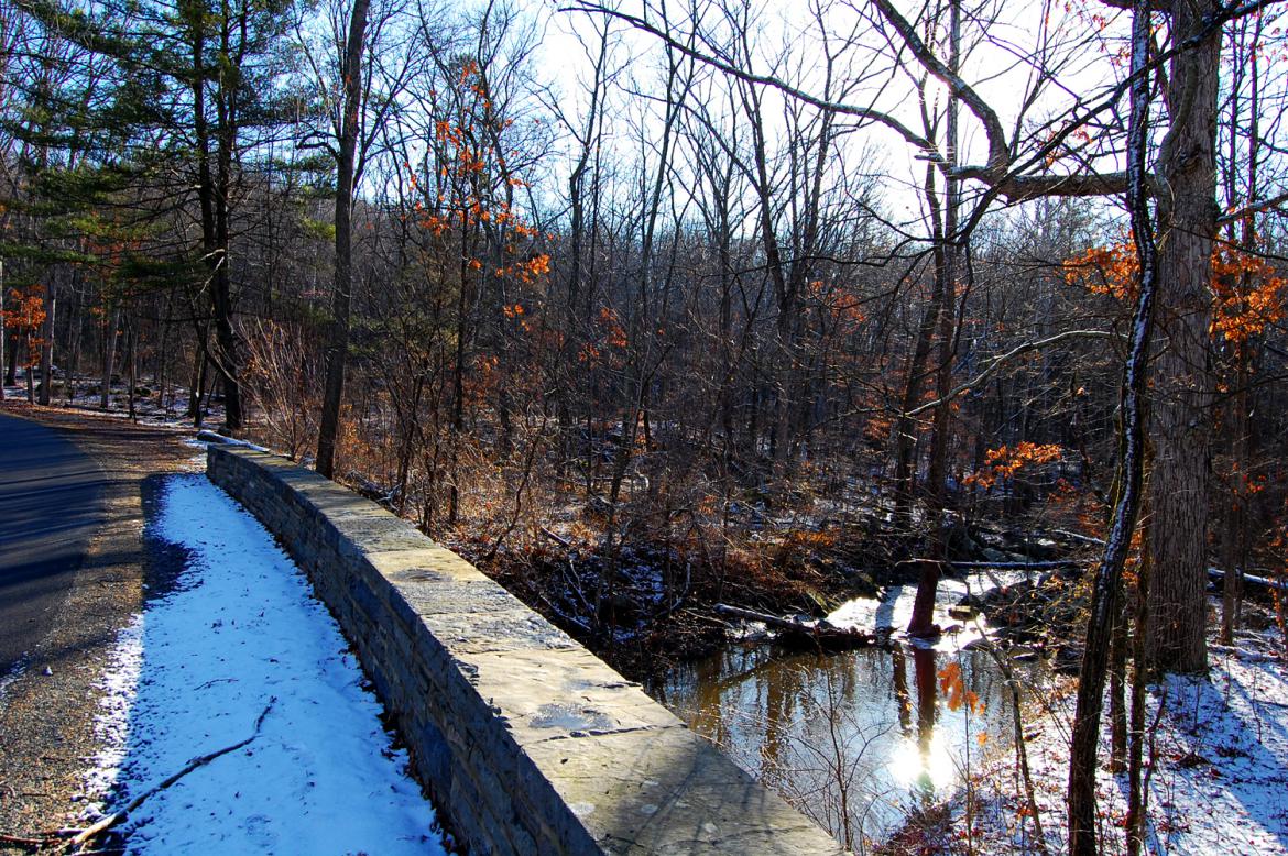
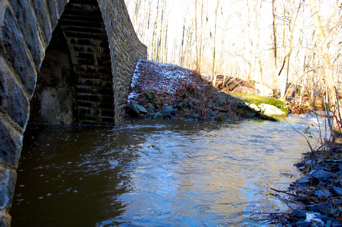
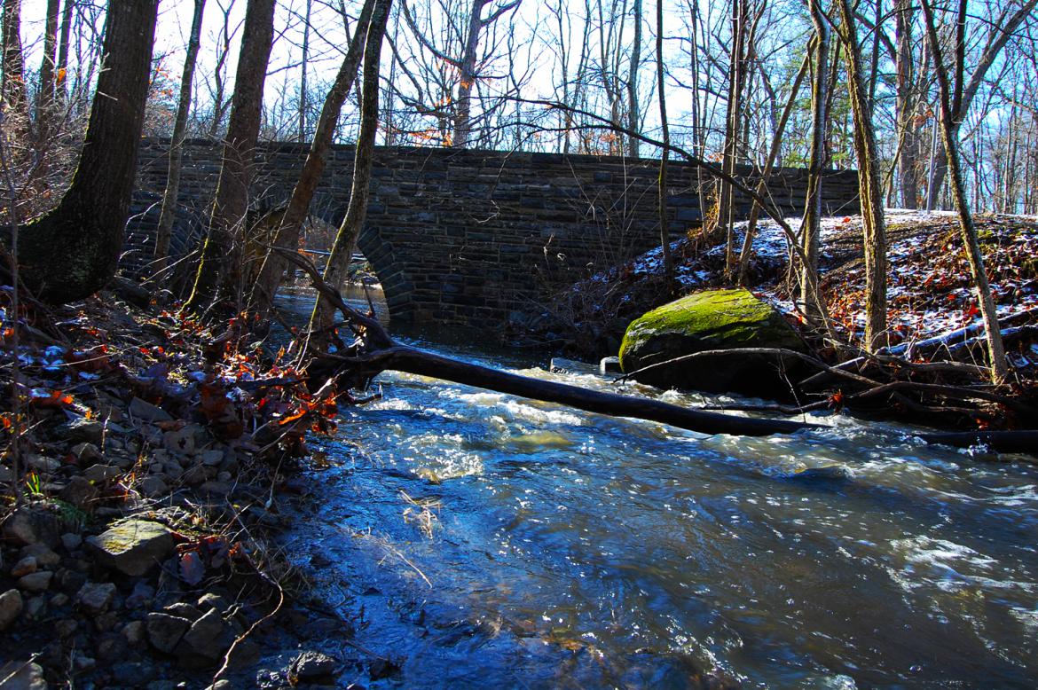
We’ve now moved to the bridge which carries South Confederate Avenue over Plum Run. This view was taken facing east at approximately 8:00 AM on Monday, March 7, 2011.
Yes, this is the same bridge that has the dinosaur footprints. This view was taken facing southeast at approximately 8:00 AM on Monday, March 7, 2011.
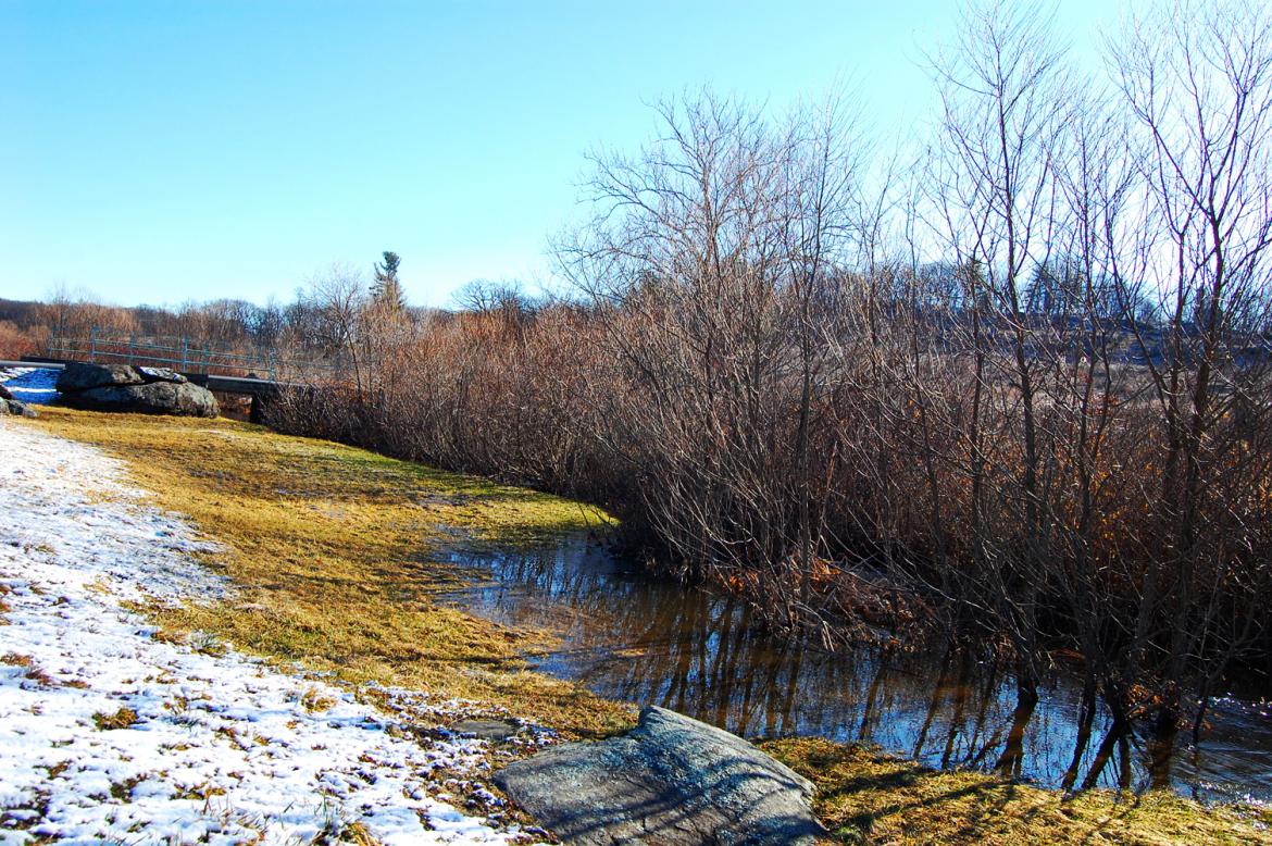
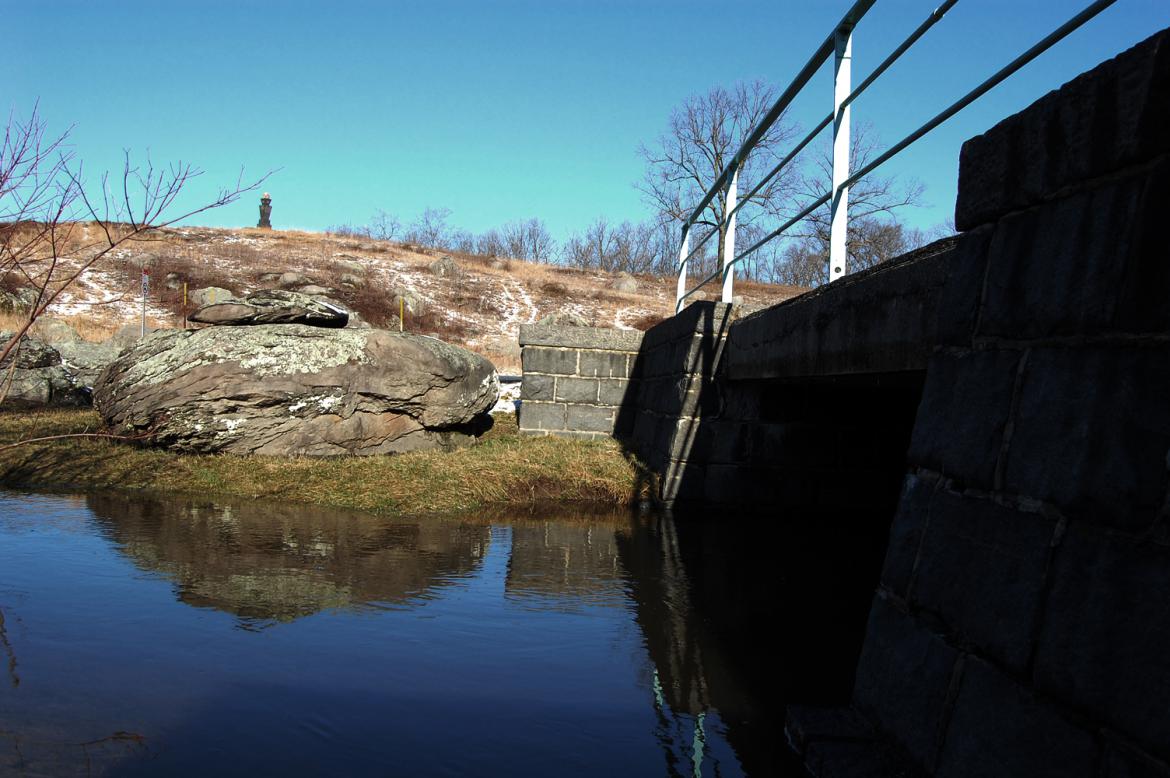
While Plum Run is elevated in this area, it is well-contained within its banks. This view was taken facing east at approximately 8:00 AM on Monday, March 7, 2011.
This view was taken facing northwest at approximately 8:00 AM on Monday, March 7, 2011.
The usual area where we see Plum Run flood is here in the area of the Slaughter Pen and Little Round Top. This view was taken facing northeast at approximately 8:00 AM on Monday, March 7, 2011.
Most of the work being performed at the moment is on the sidewalk and piping on the northwest side of the street. The Alexander Dobbin House is out of view on the left. This view was taken facing northwest at approximately 8:00 AM on Monday, March 7, 2011.
To view more photos of flooding in the Plum Run Valley, take a look at this post from January of 2010. This view was taken facing west at approximately 8:00 AM on Monday, March 7, 2011.
This view was taken facing west at approximately 8:00 AM on Monday, March 7, 2011.
This view was taken facing west at approximately 8:00 AM on Monday, March 7, 2011.

