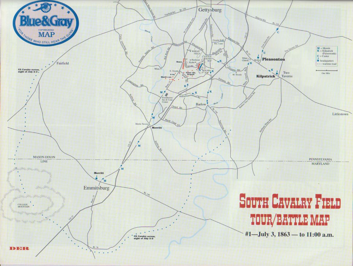
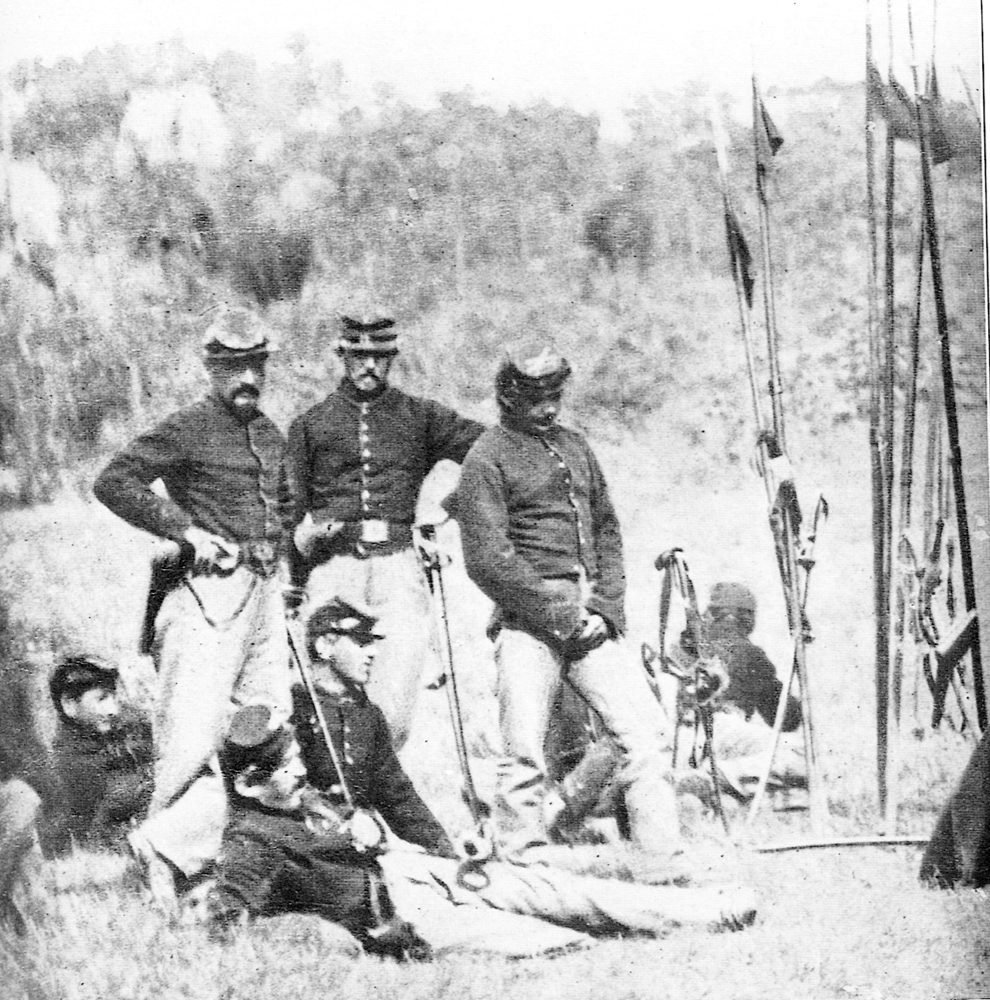
The Battle of South Cavalry Field took place after Pickett’s Charge on July 3, 1863. It was an attack by the Union Cavalry to be coordinated with Union infantry on the south end of the battlefield.
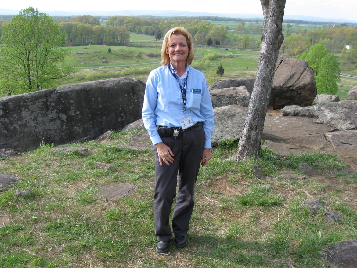
South Cavalry Field Part 1: Gettysburg Licensed Battlefield Guide Andie Custer
In today’s post, Gettysburg Licensed Battlefield Guide Andie Custer presents U.S. Major General George Gordon Meade’s plan of attack following Pickett’s Charge, and brings the Third Division of the Cavalry Corps from Hunterstown to the Baltimore Pike.
South Cavalry Field Part 2: Gettysburg Licensed Battlefield Guide Andie Custer
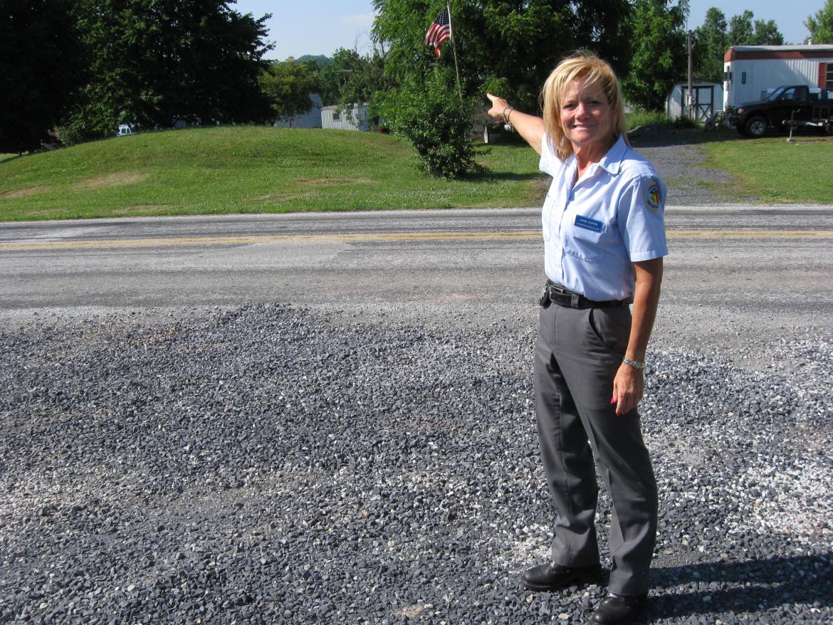
In today’s post, Andie Custer shows the location where Major General Alfred Pleasonton gave orders to two of his division commanders, Judson Kilpatrick and David McMurtrie Gregg on July 3, 1863. She also shows us the location of White Run Church.
South Cavalry Field Part 3: Gettysburg Licensed Battlefield Guide Andie Custer
In today’s post, Gettysburg Licensed Battlefield Guide Andie Custer shows us the route taken by Farnsworth’s Brigade along the Goulden-Sachs Road, and down the Taneytown Road to Rock Creek, where they watered their horses.
South Cavalry Field Part 4: Gettysburg Licensed Battlefield Guide Andie Custer
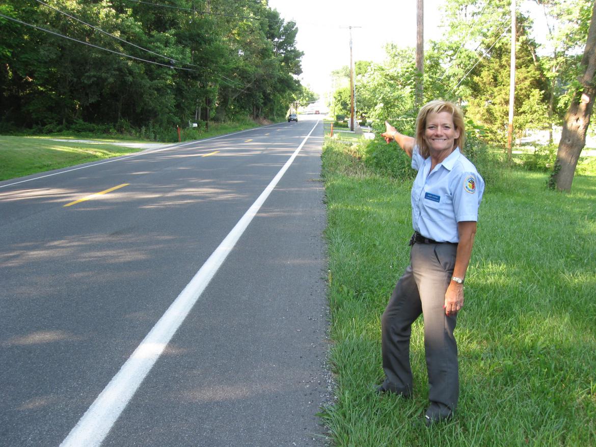
In today’s South Cavalry Field post, Gettysburg Licensed Battlefield Guide Andie Custer shows us how Farnsworth’s Brigade left the Taneytown Road on what is now the Barlow-Greenmount Road, and turned north on Ridge Road.
South Cavalry Field Part 5: Gettysburg Licensed Battlefield Guide Andie Custer
In today’s South Cavalry Field post, Gettysburg Licensed Battlefield Guide Andie Custer shows how as Farnsworth’s Brigade moved north on the Ridge Road, Merritt’s Brigade was moving north on the Emmitsburg Road.
South Cavalry Field Part 6: Gettysburg Licensed Battlefield Guide Andie Custer
In today’s South Cavalry Field post, Andie Custer shows the area between Buddy Ridge and Wintrode Ridge where the soldiers had to dismount because of the rough terrain, and how James Hart’s South Carolina Battery “leap frogged” along the Emmitsburg Road in order to keep up a constant rate of fire on Wesley Merritt’s cavalrymen.
South Cavalry Field Part 7: Gettysburg Licensed Battlefield Guide Andie Custer
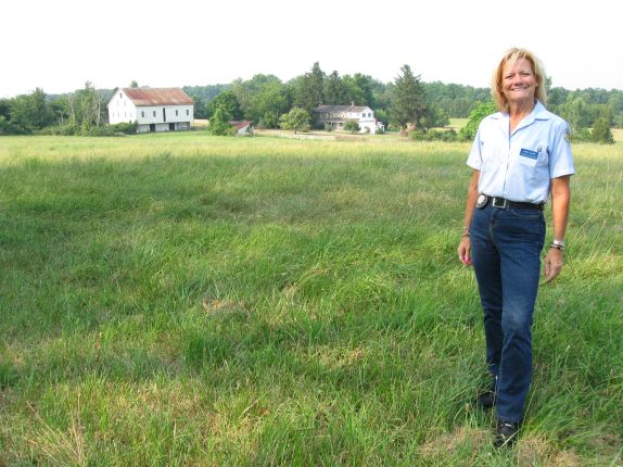
In today’s South Cavalry Field post, Andie Custer shows us the National Park Service property on Wintrode Ridge, and explains how Merritt’s troopers advanced through this area.
South Cavalry Field Part 8: Gettysburg Licensed Battlefield Guide Andie Custer
In the today’s South Cavalry Field post, Andie Custer shows us the National Park Service property on Wintrode Ridge on the west side of the Emmitsburg Road, and explains how Merritt’s troopers stretched their forces towards Marsh Creek.
South Cavalry Field Part 9: Gettysburg Licensed Battlefield Guide Andie Custer
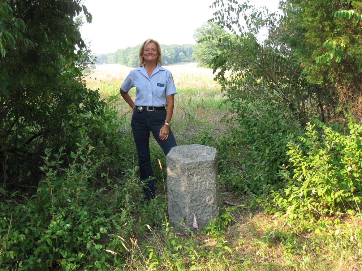
In today’s South Cavalry Field post, Gettysburg Licensed Battlefield Guide Andie Custer shows us the monument to the 6th Pennsylvania Cavalry (Rush’s Lancers), and explains the importance of the attack of Merritt’s Cavalry Brigade.

