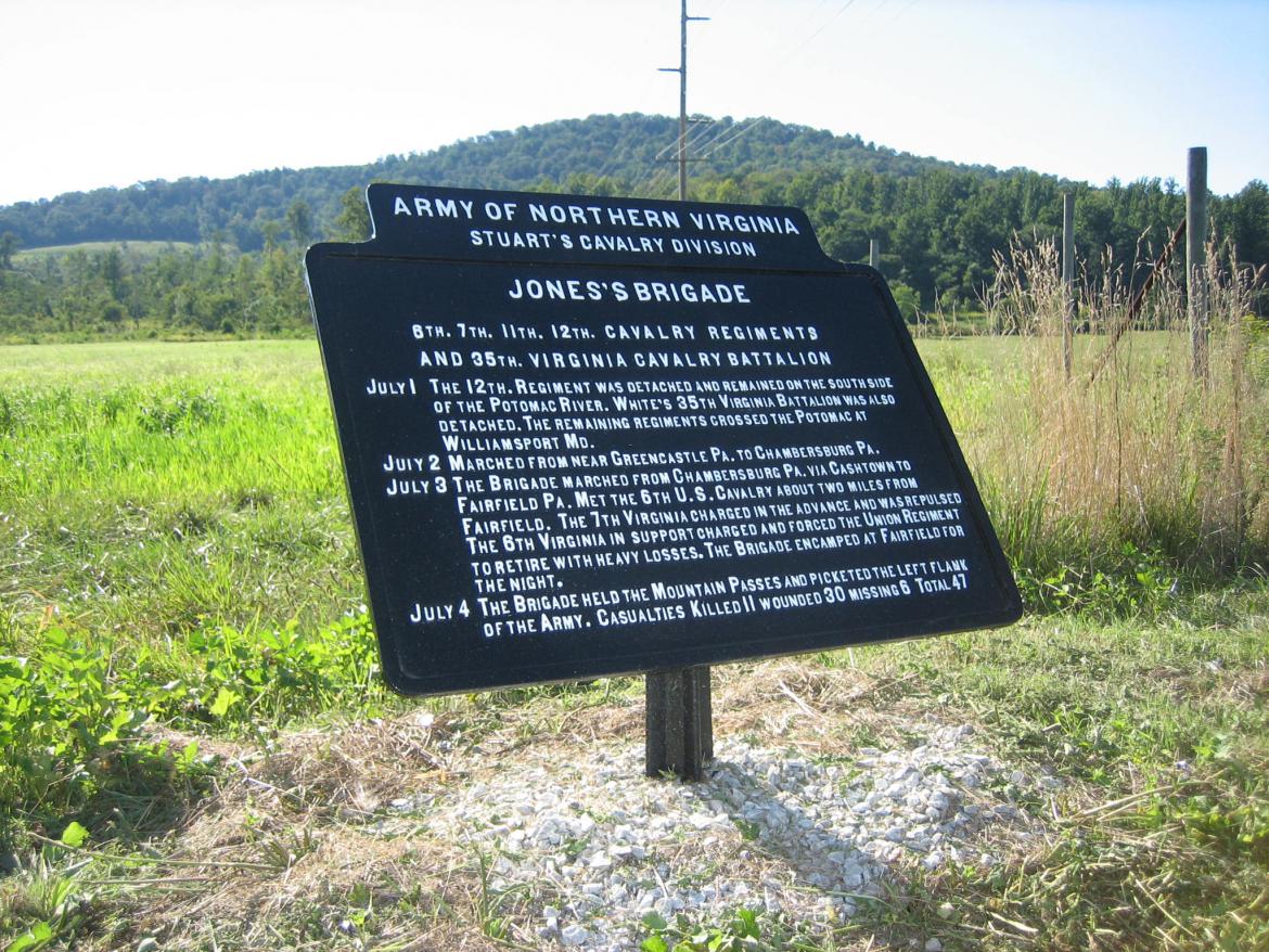
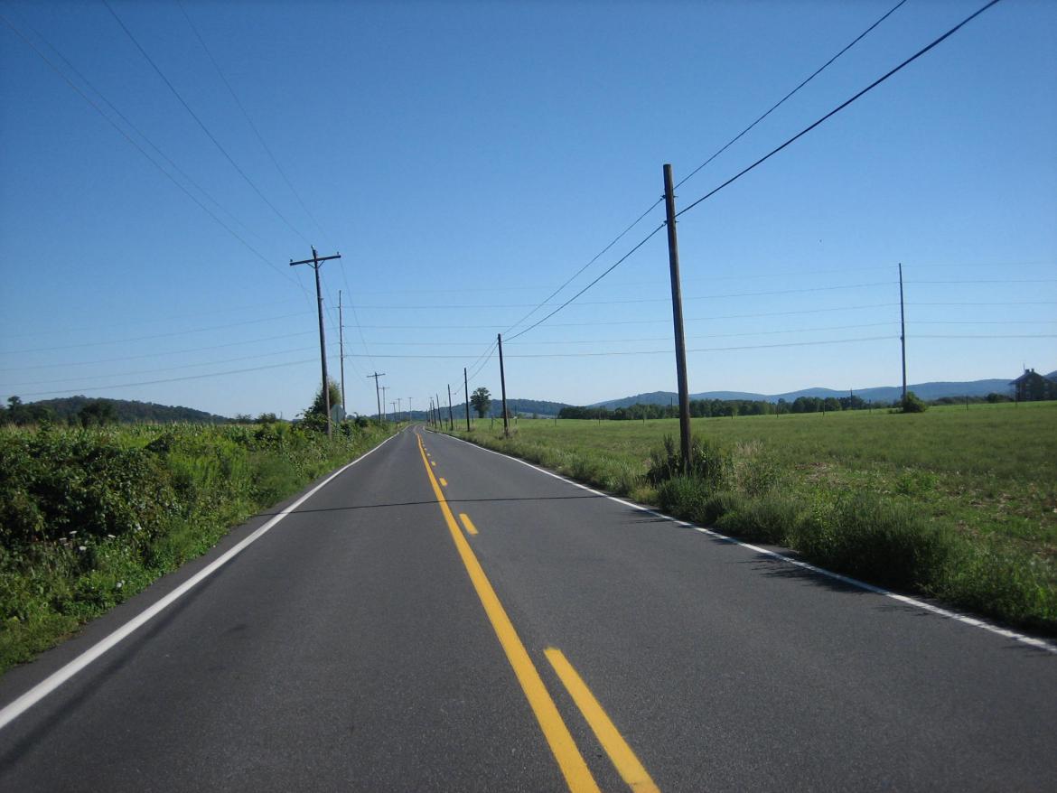
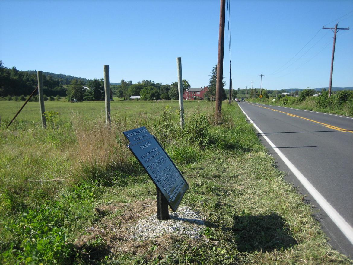
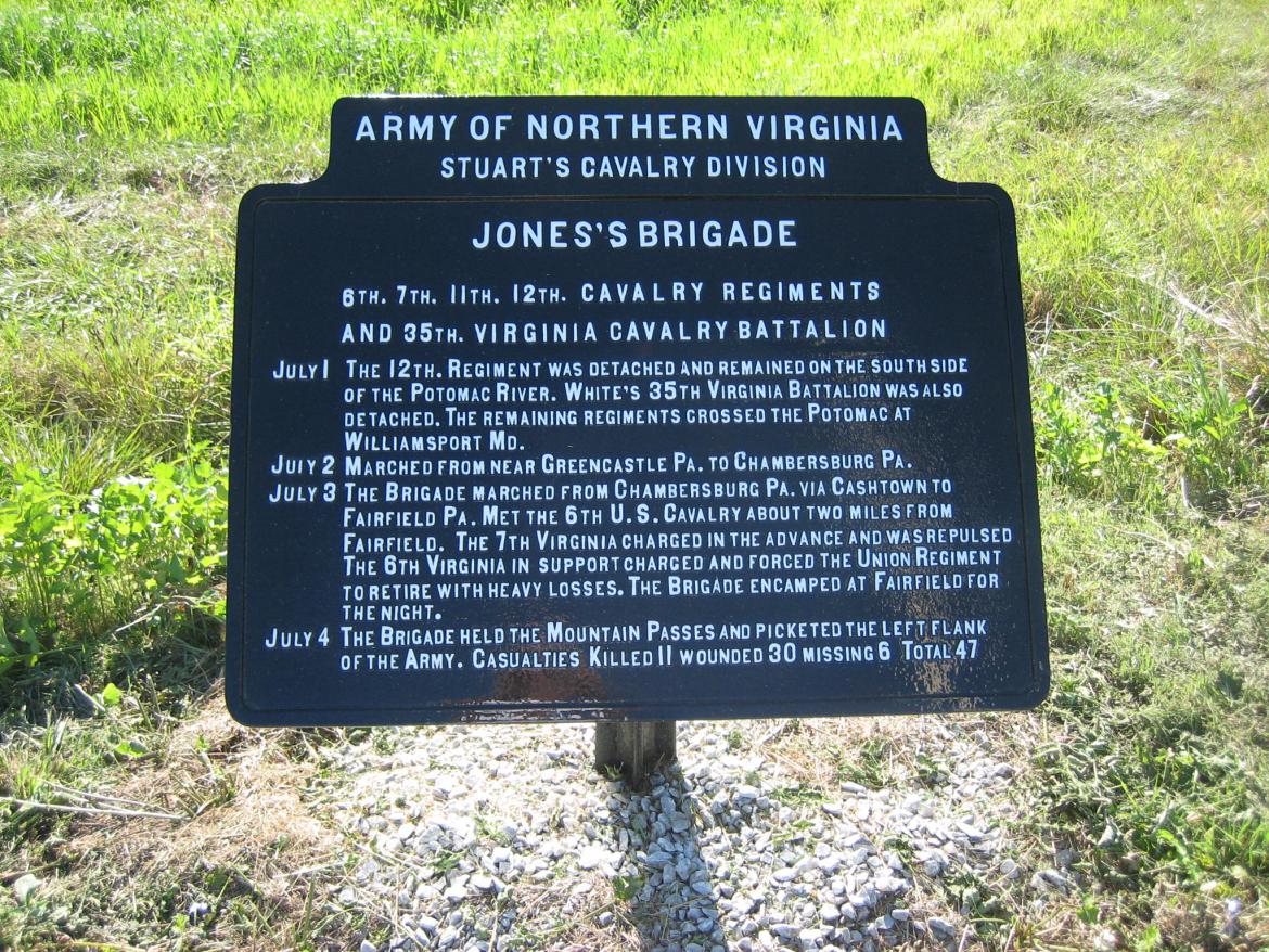
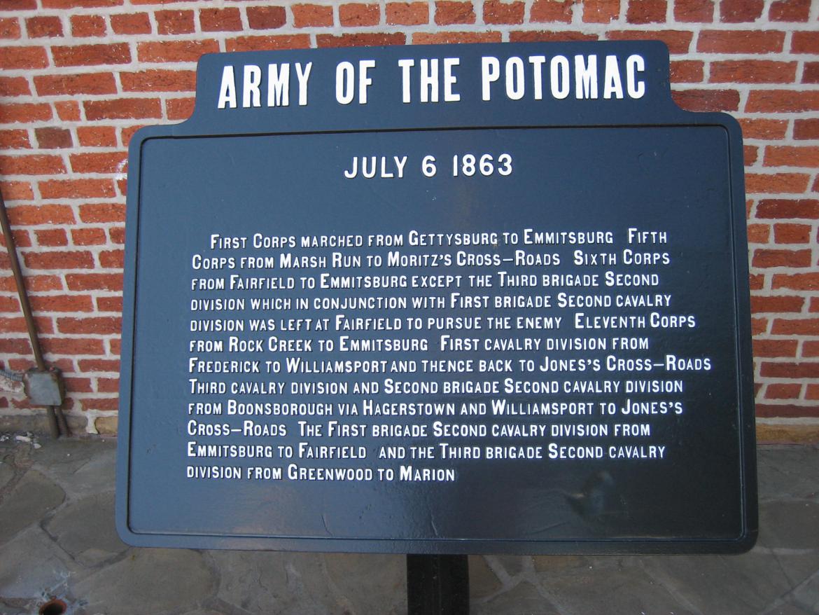
The War Department marker to Jones’ Cavalry Brigade. The marker is located on the west side of the Carroll’s Tract Road, approximately two miles north of Fairfield. This view was taken from the southeast facing northwest at approximately 4:15 PM on Monday, September 1, 2008.
As the Confederate Army of Northern Virginia was withdrawing to the west after the Battle of Gettysburg, a skirmish with Union cavalry occurred near Fairfield, Pennsylvania. The 6th United States Cavalry, under the command of Major Samuel Starr, fought Jones’ Virginia Cavalry Brigade approximately two miles north of Fairfield on the Carroll’s Tract Road. Wounded from both sides were brought into Fairfield following the action.
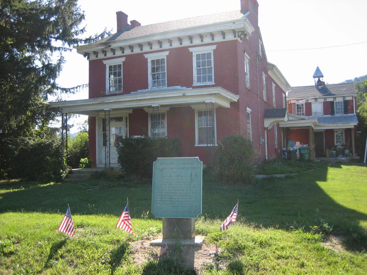
The Benjamin Marshall House was used as a hospital for the Sixth U.S. Cavalry following its clash in this area with Jones’ Cavalry Brigade. There is a plaque with small American flags around it in the front yard of the house. This view was taken from the northeast facing southwest at approximately 4:15 PM on Monday, September 1, 2008.
The plaque was placed here in 1909, and the 6th U.S. Cavalry had a reunion here on July 3, 1911. This view was taken from the northeast facing southwest at approximately 4:15 PM on Monday, September 1, 2008.
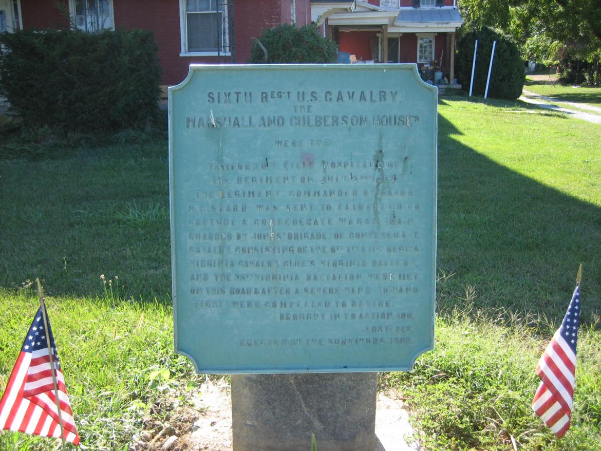
The plaque in front of the Benjamin Marshall House was erected by the survivors of the 6th U.S. Cavalry. It states that the fighting here was “hand to hand,” and that of the 400 men in the regiment, 242 were casualties. This is a loss of 61%. This view was taken from the northeast facing southwest at approximately 4:15 PM on Monday, September 1, 2008.
The 6th U.S. Cavalry was advancing from the area of Cashtown, approximately two miles north of the Benjamin Marshall House, towards a Confederate wagon train approaching Fairfield. Fairfield is two miles to the front right. The Confederates were retreating from Gettysburg from left to right, or east to west. This view was taken from the north facing south at approximately 4:15 PM on Monday, September 1, 2008.
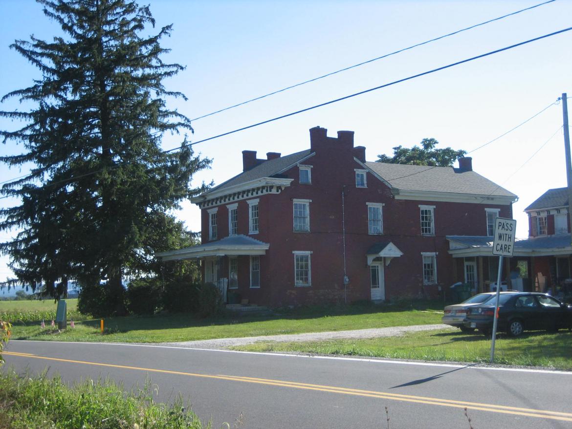
The 7th Virginia Cavalry, charged the 6th U.S. Cavalry from the direction of Fairfield, which is approximately two miles behind the photographer. The Benjamin Marshall House is in the left background. The 7th Virginia, was repulsed, and the 6th Virginia drove the United States troops back. The marker to Jones’ Brigade is at the bottom of this picture. This view was taken from the south facing north at approximately 4:15 PM on Monday, September 1, 2008.
The marker states that Jones’ Brigade suffered 47 casualties during the campaign. This view was taken from the east facing west at approximately 4:15 PM on Monday, September 1, 2008.
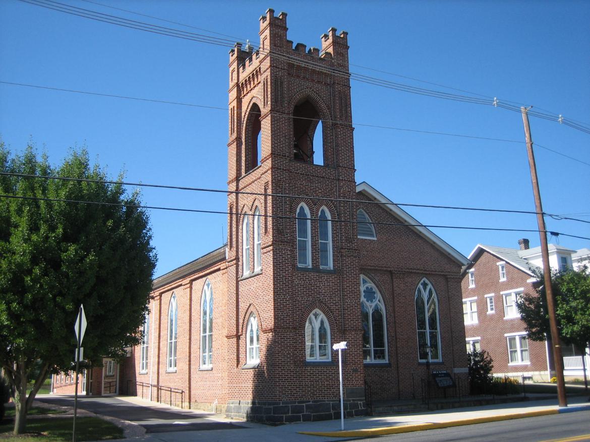
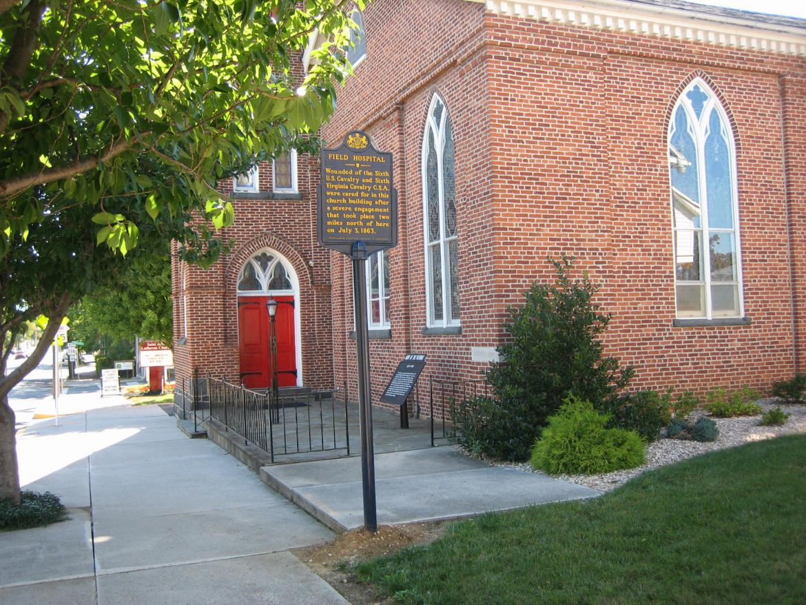
Some of the casualties were brought to the Zion Lutheran Church in Fairfield. It was founded in 1854, and in 1968 merged with another church. It is now known as the St. John Lutheran Church. The church is located on Main Street (PA 116) running from right to left in this view. The bell tower was added in 1891. The church is near the intersection of North Miller Street, which is also known as the Fairfield Station Road, or Quebecor World Road. This view was taken from the southwest facing northeast at approximately 4:15 PM on Monday, September 1, 2008.
This War Department marker is located in front of the church. This view was taken from the south facing north at approximately 4:15 PM on Monday, September 1, 2008.
There is also a Pennsylvania Historical Commission marker in front of the church stating that casualties from the 6th U.S. Cavalry and the 6th Virginia Cavalry were brought into the church when it became a field hospital. The War Department marker is shown to the right of the Pennsylvania Historical Commission marker. This view was taken from the southeast facing northwest at approximately 4:15 PM on Monday, September 1, 2008.

