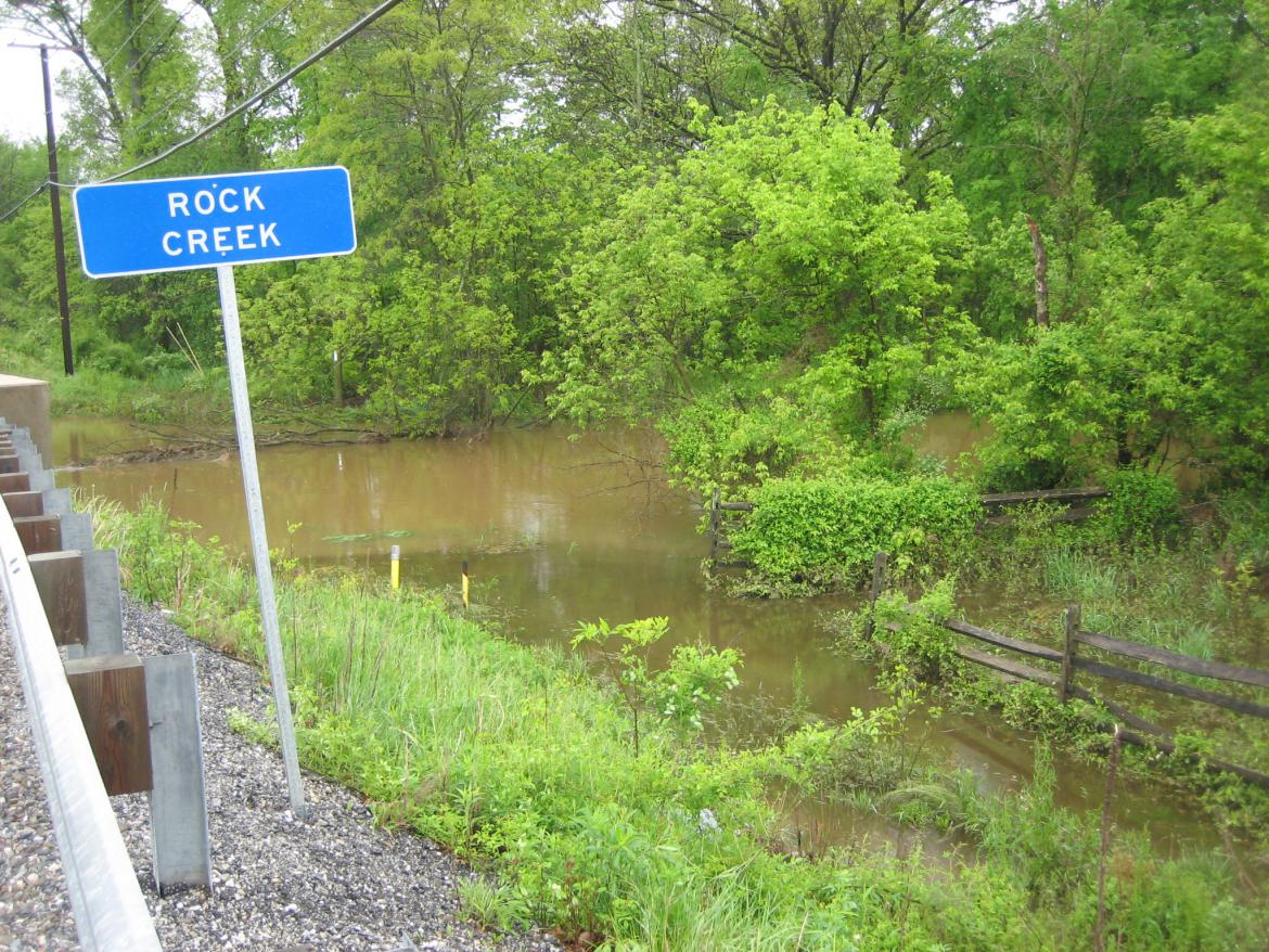
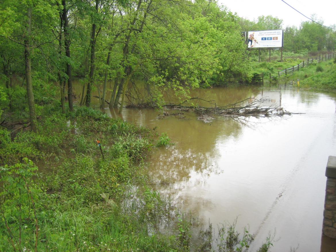
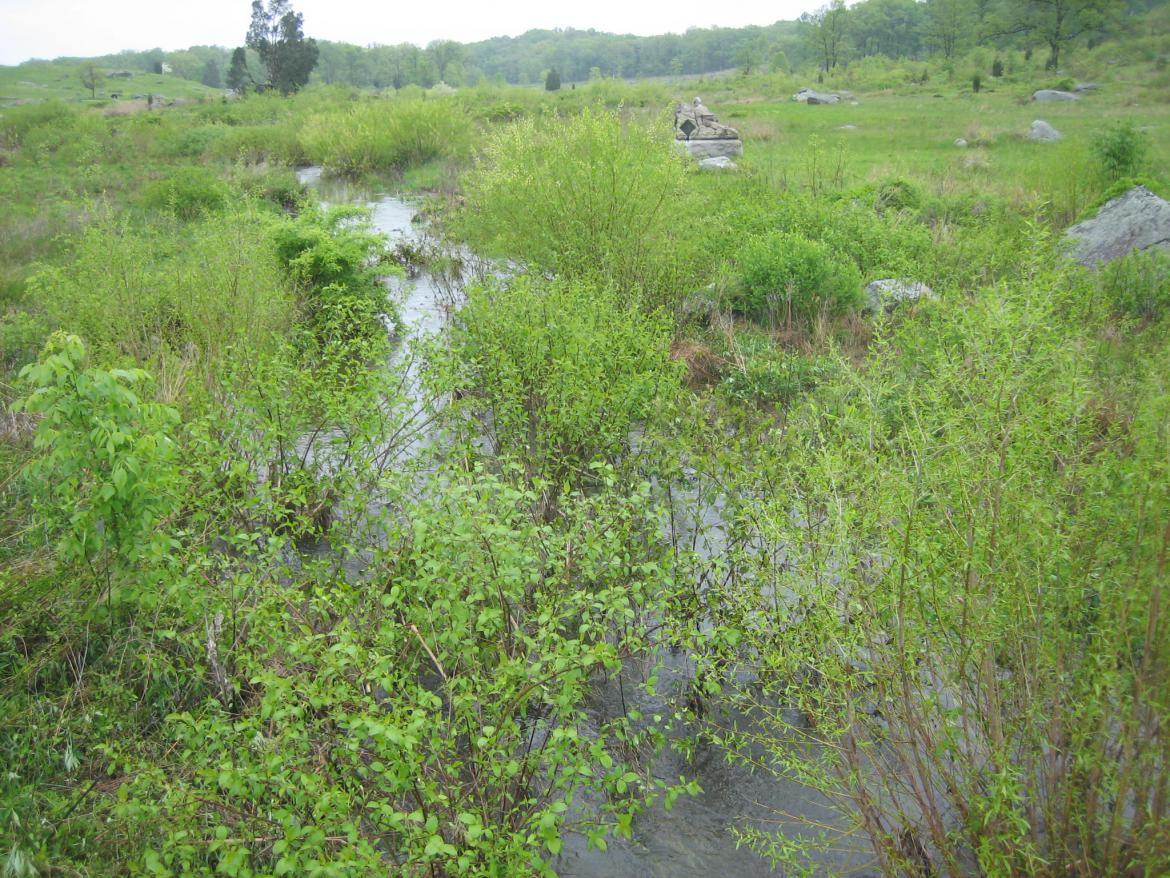
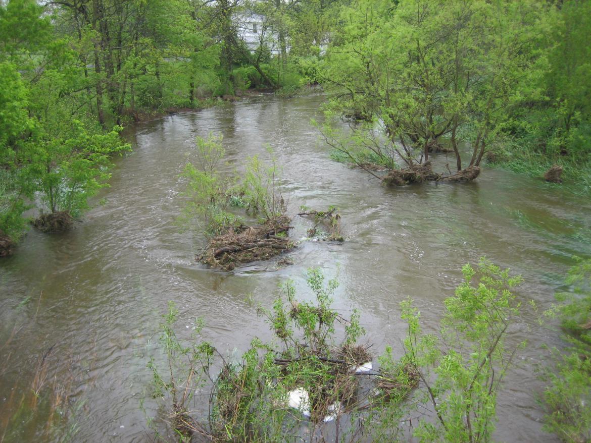
Rock Creek from north of the the bridge on the Harrisburg Road. Barlow’s Knoll would be behind the trees to the front right. This view was taken from the northeast facing southwest at approximately 4:20 PM on Monday, May 12, 2008.
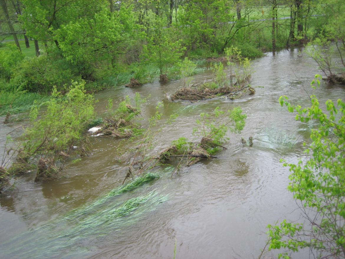
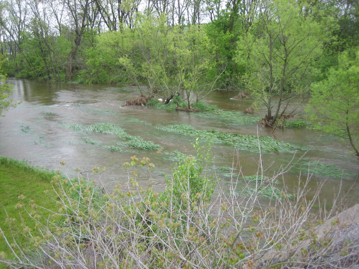
On a rainy Monday, the Gettysburg Daily took photographs of the water levels of three areas: Rock Creek, Plum Run, and Willoughby Run.
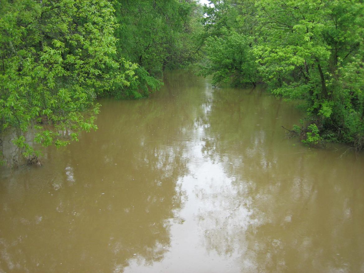
Rock Creek from the bridge on the Harrisburg Road. This view if from the east facing west at approximately 4:20 PM on Monday, May 12, 2008.
Rock Creek from south of the bridge on the Harrisburg Road. View is from the southeast looking northwest at approximately 4:20 PM on Monday, May 12, 2008.
Plum Run from the intersection of Warren Avenue and Crawford Avenue near Devil’s Den. Note the water to the right of the white sign. It is halfway between the bushes, and the white sign. View is from the north facing south at approximately 4:45 PM on Monday, May 12, 2008.
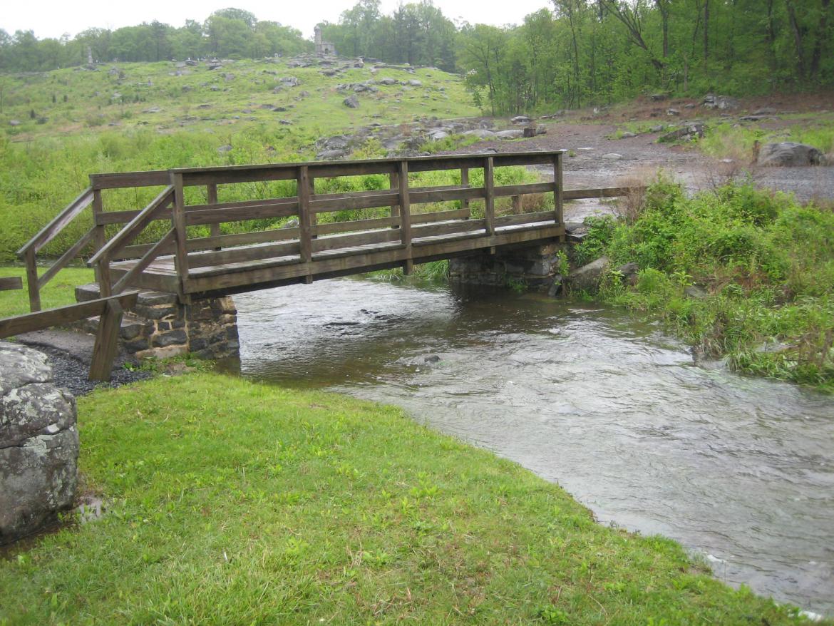
Plum Run from the bridge over Warren Avenue. The monument to the 40th New York (Mozart Regiment) is in the right middle background. This view was taken from the south facing north at approximately 4:45 PM on Monday, May 12, 2008.
Plum Run under the bridge leading from Devil’s Den to the Slaughter Pen restroom. Little Round Top is in the left background. This view is from the southwest facing northeast at approximately 4:45 PM on Monday, May 12, 2008.
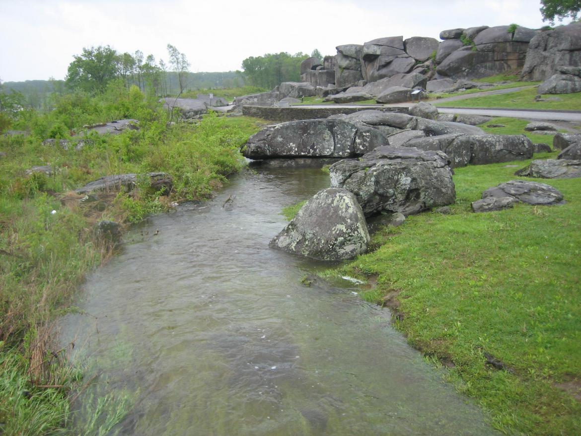
Plum Run from the bridge leading from Devil’s Den to the Slaughter Pen restroom. Devil’s Den is in the background. View is from the northeast looking southwest. This view was at approximately 4:45 PM on Monday, May 12, 2008.
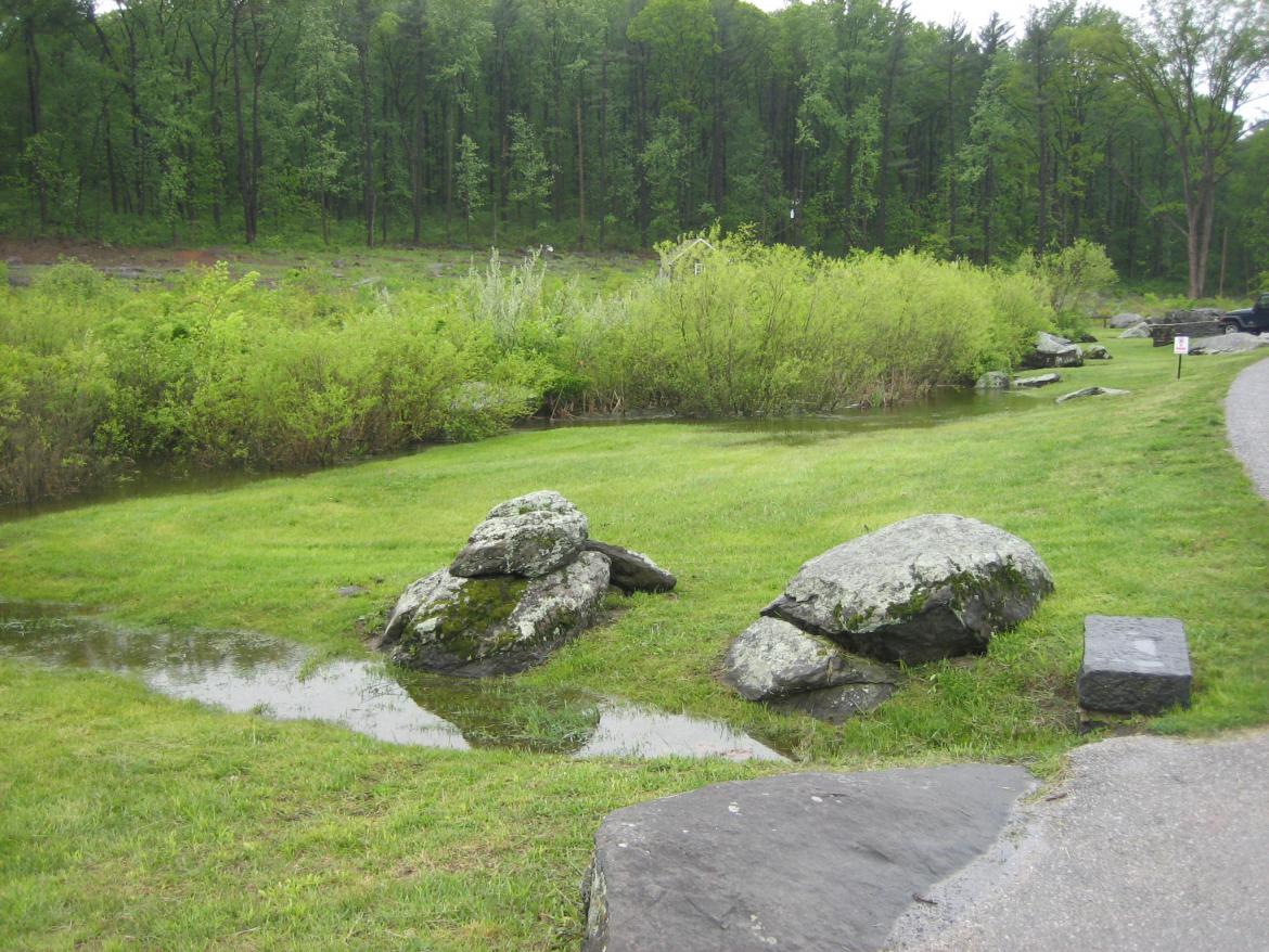
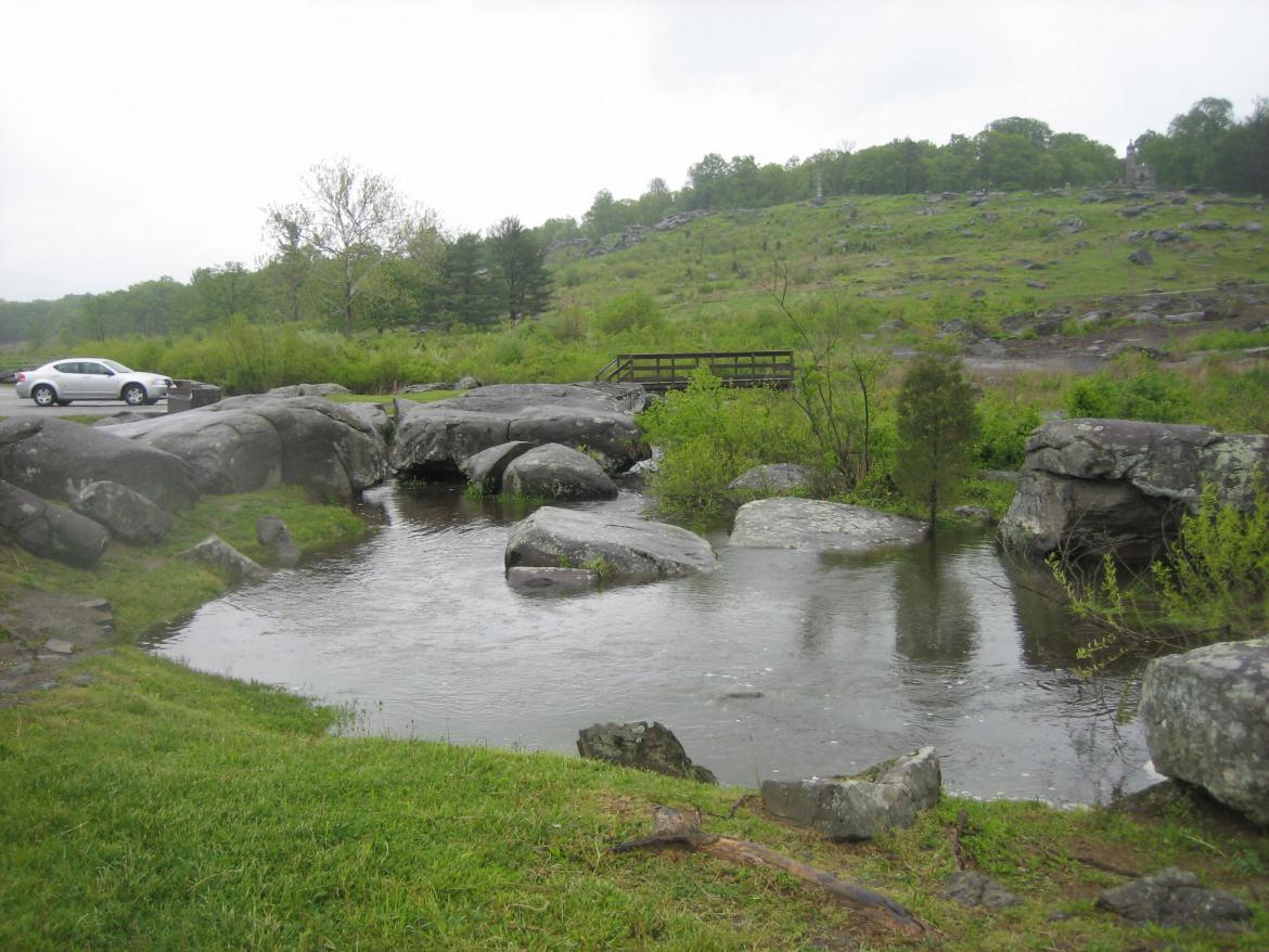
This view of Plum Run was taken from the area near the handicap parking spaces and bicycle rack in the Devil’s Den parking area. Little Round Top is in the background. View is from the southwest facing northeast at approximately 4:45 PM on Monday, May 12, 2008.
Willoughby Run from the bridge near the intersection of the Millerstown Road and the Black Horse Tavern Road. This view if from the south facing north at approximately 5:00 PM on Monday, May 12, 2008.
Willoughby Run from the bridge near the intersection of the Millerstown Road and the Black Horse Tavern Road. This view if from the north facing south at approximately 5:00 PM on Monday, May 12, 2008.
Willoughby Run from east of the bridge near the intersection of the Millerstown Road and the Black Horse Tavern Road. This view if from the southeast facing northwest at approximately 5:00 PM on Monday, May 12, 2008.
Willoughby Run from west of the bridge near the intersection of the Millerstown Road and the Black Horse Tavern Road. This view if from the southwest facing northeast at approximately 5:00 PM on Monday, May 12, 2008.

