

There are some places in Gettysburg National Military Park that are hard to reach. Today we take a trek to what is possibly the least-visited Confederate battery marker on the battlefield, located in the woods north of the railroad cut on Oak Ridge. This image was taken facing southeast at approximately 7:30 PM on Wednesday August 10, 2016.

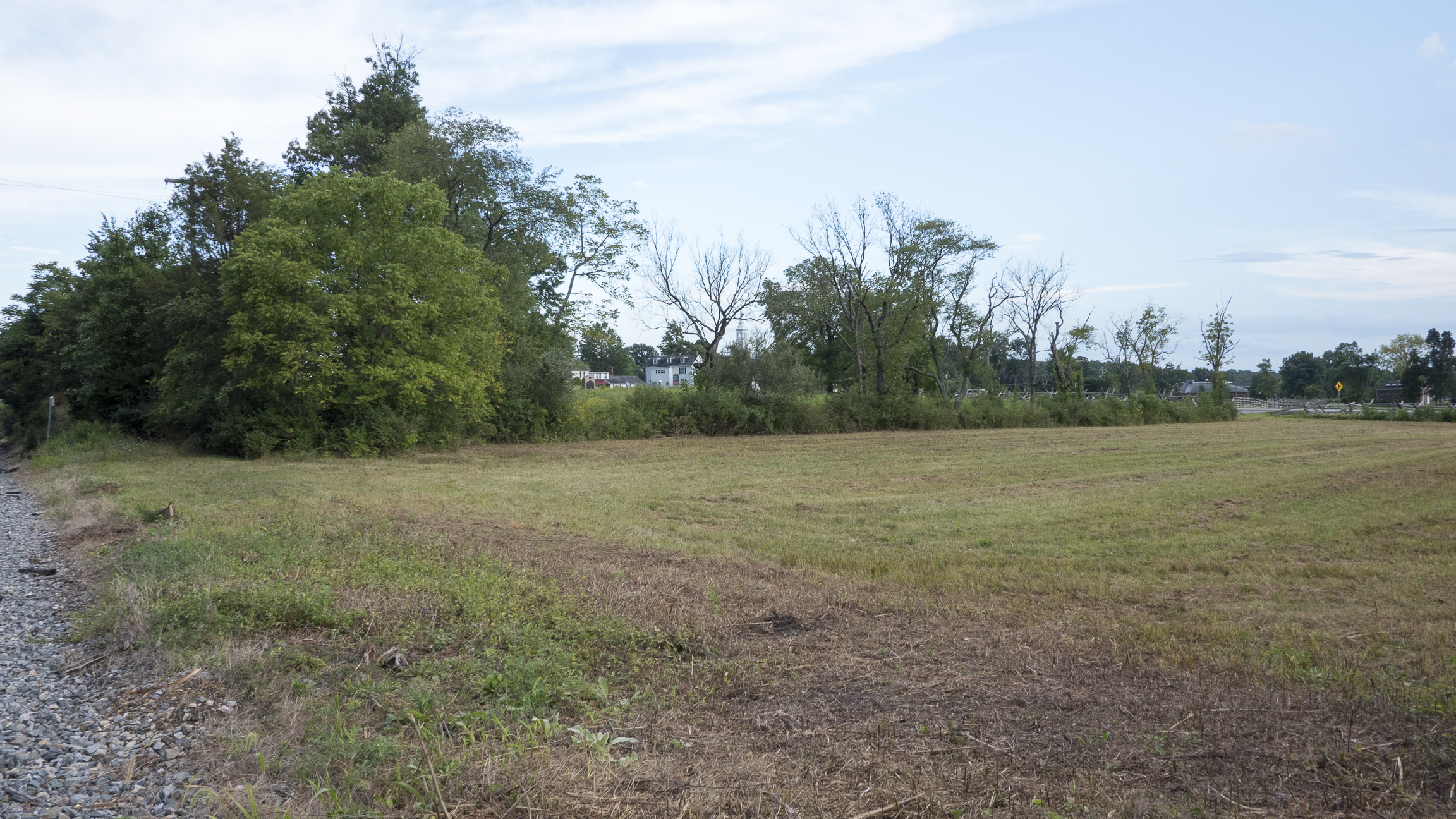
Let’s orient ourselves. We’re standing on east McPherson’s Ridge facing Seminary Ridge along Reynold’s Avenue. Oak Ridge is the wooded area in the left background. The Mary Thompson house is in the right-background of frame along the Chambersburg Pike. The railroad cut is in the left of frame. This image was taken facing southeast at approximately 7:30 PM on Wednesday August 10, 2016.
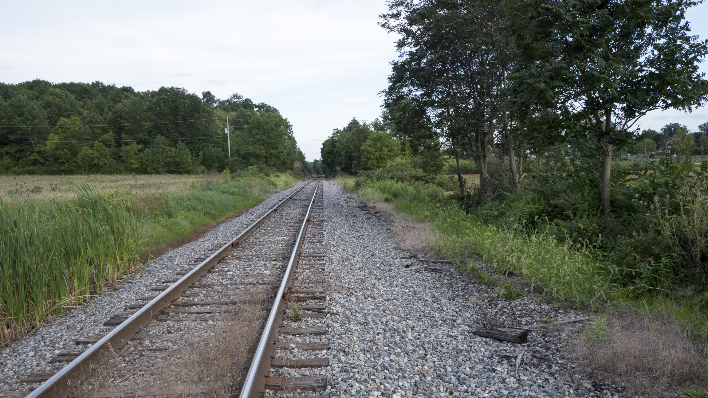
We’ve now walked down to the railroad bed. The Chambersburg Pike is to the right out of frame. We’ll proceed towards town along the cut. This image was taken facing southeast at approximately 7:30 PM on Wednesday August 10, 2016.
The 6th Wisconsin Infantry charged from right to left towards Davis’ Brigade of North Carolina and Mississippi troops in the Railroad Cut on the morning of July 1, 1863. In our post on the Mary Thompson house restoration, we visited the marker to Stewart’s Battery — you can see the battery marker through the trees in the center of frame. Three of their guns were located near the marker and the Thompson house. The other three guns were positioned “north of the Railroad Cut.” That’s where we’re heading. This image was taken facing southeast at approximately 7:30 PM on Wednesday August 10, 2016.

A look back towards the bridge on Reynold’s Avenue. This image was taken facing northwest at approximately 7:30 PM on Wednesday August 10, 2016.
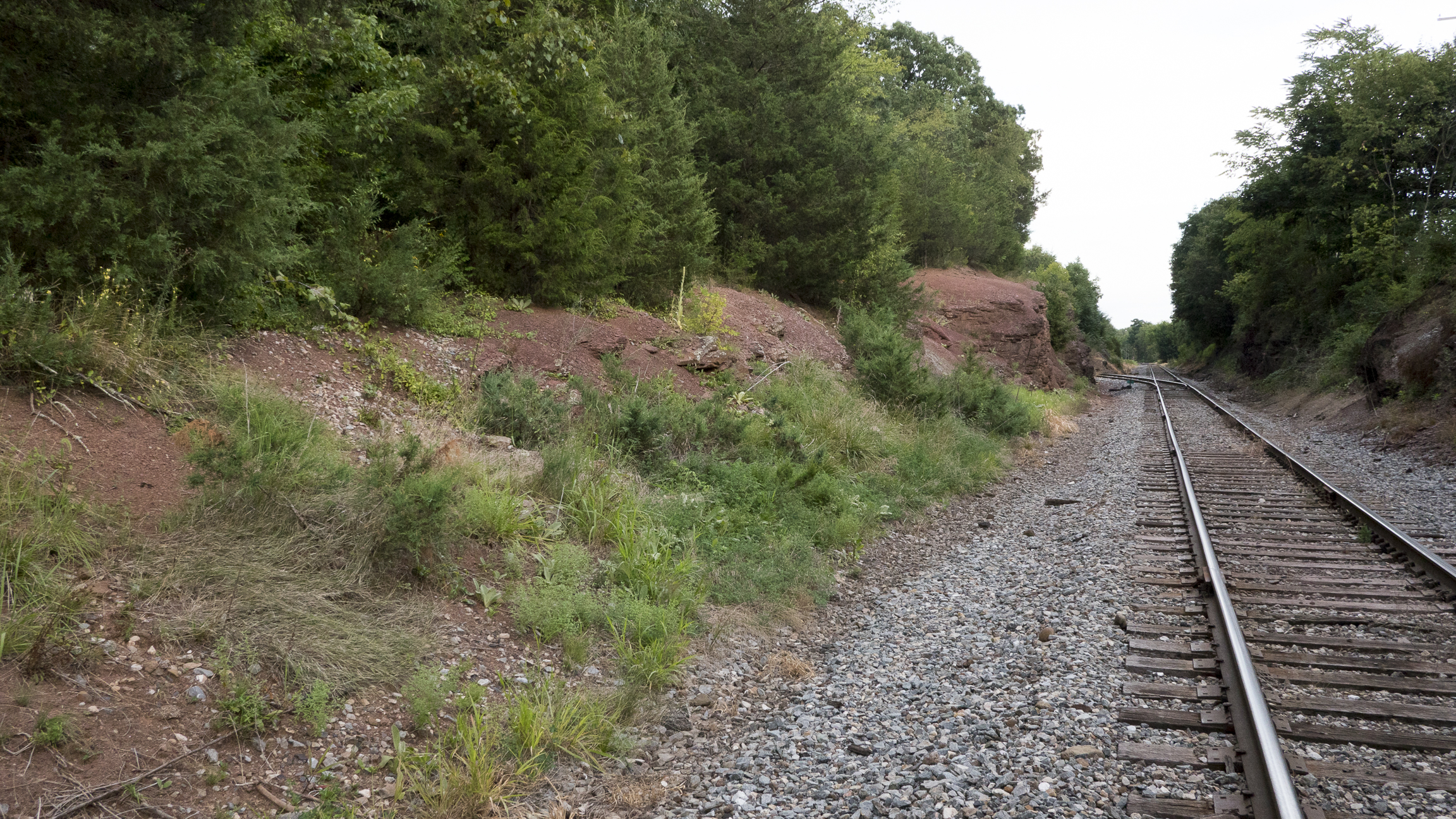
You’ll notice red sandstone in the railroad cut – this sandstone was pushed upward by lava approximately 200 million years ago. The pressure and heat of this “baking” resulted in the reddish color. This image was taken facing northwest at approximately 7:30 PM on Wednesday August 10, 2016.
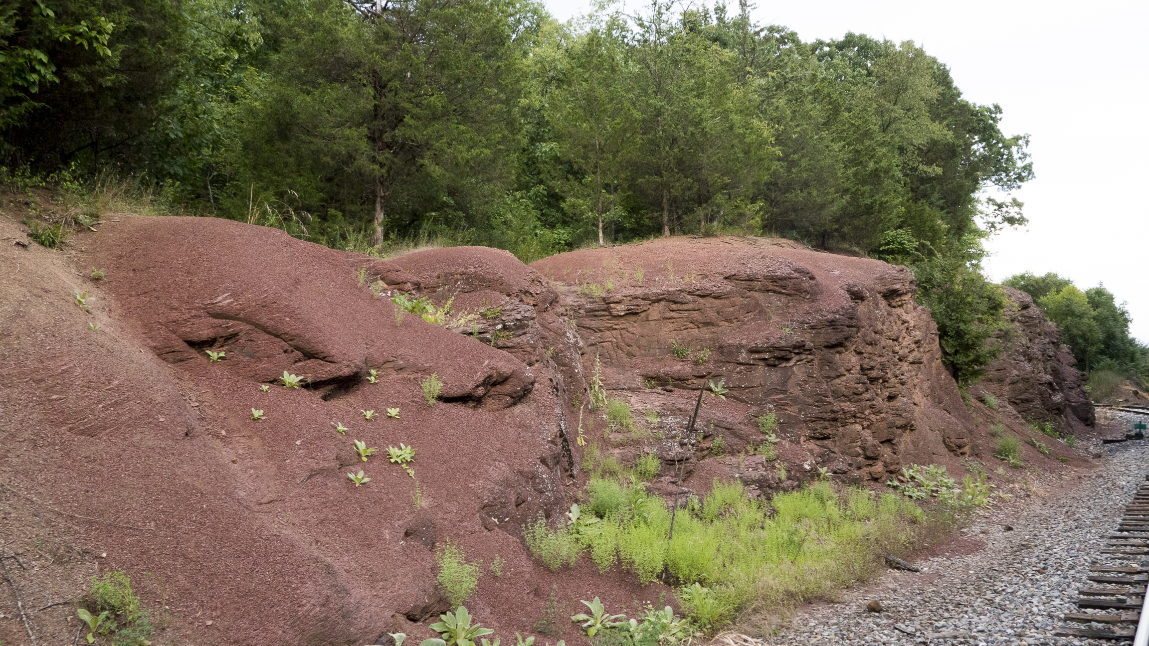
This would have been around the time dinosaurs lived in the Gettysburg area. Hupp’s Battery marker is in the woods above this embankment. Let’s climb up. This image was taken facing northwest at approximately 7:30 PM on Wednesday August 10, 2016.
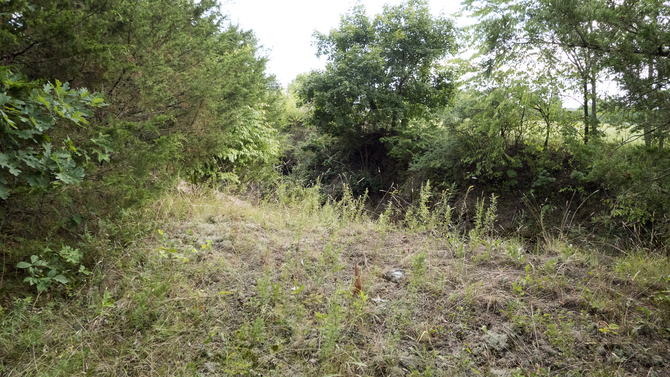
We’re now standing on Oak Ridge north of the Railroad Cut. There’s actually a marker in this image… This image was taken facing south at approximately 7:30 PM on Wednesday August 10, 2016.

… the Department of the Interior NPS property marker. The railroad tracks are below us now. This image was taken facing south at approximately 7:30 PM on Wednesday August 10, 2016.
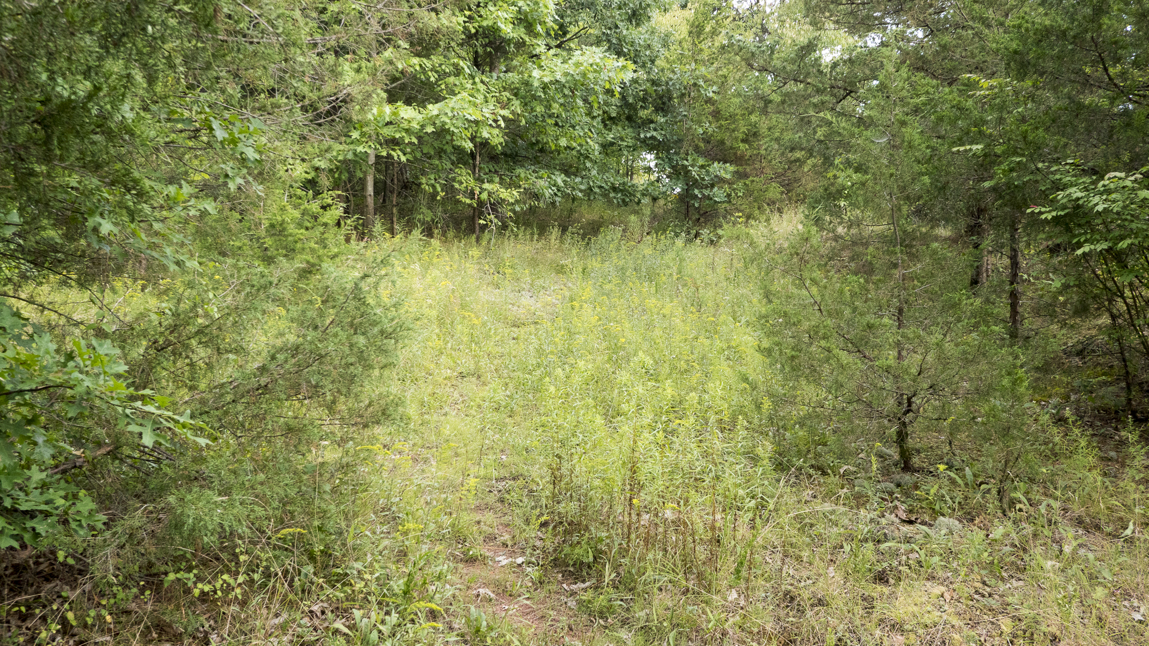
Fortunately, there is a small path that runs along the embankment parallel to the railroad tracks. The marker is about 80 yards away. This image was taken facing southeast at approximately 7:30 PM on Wednesday August 10, 2016.

It’s mostly clear, though you’ll have an easier time in the winter months. This image was taken facing southeast at approximately 7:30 PM on Wednesday August 10, 2016.

We’re now at the deep point of the cut on the northern side. The Mary Thompson House can be seen in the left background. This image was taken facing southeast at approximately 7:30 PM on Wednesday August 10, 2016.

Stick to the path and you’ll be fine. This image was taken facing southeast at approximately 7:30 PM on Wednesday August 10, 2016.
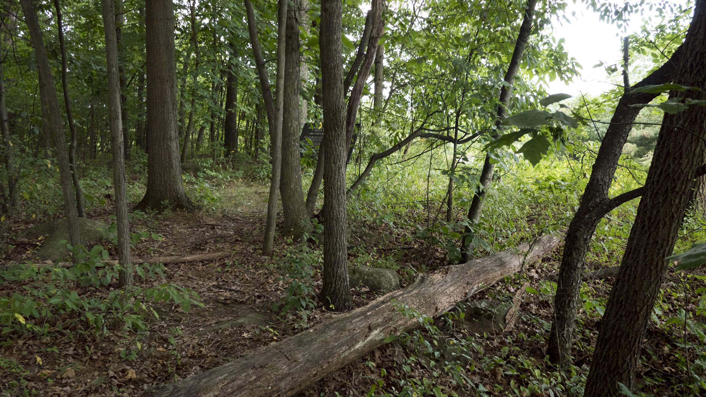
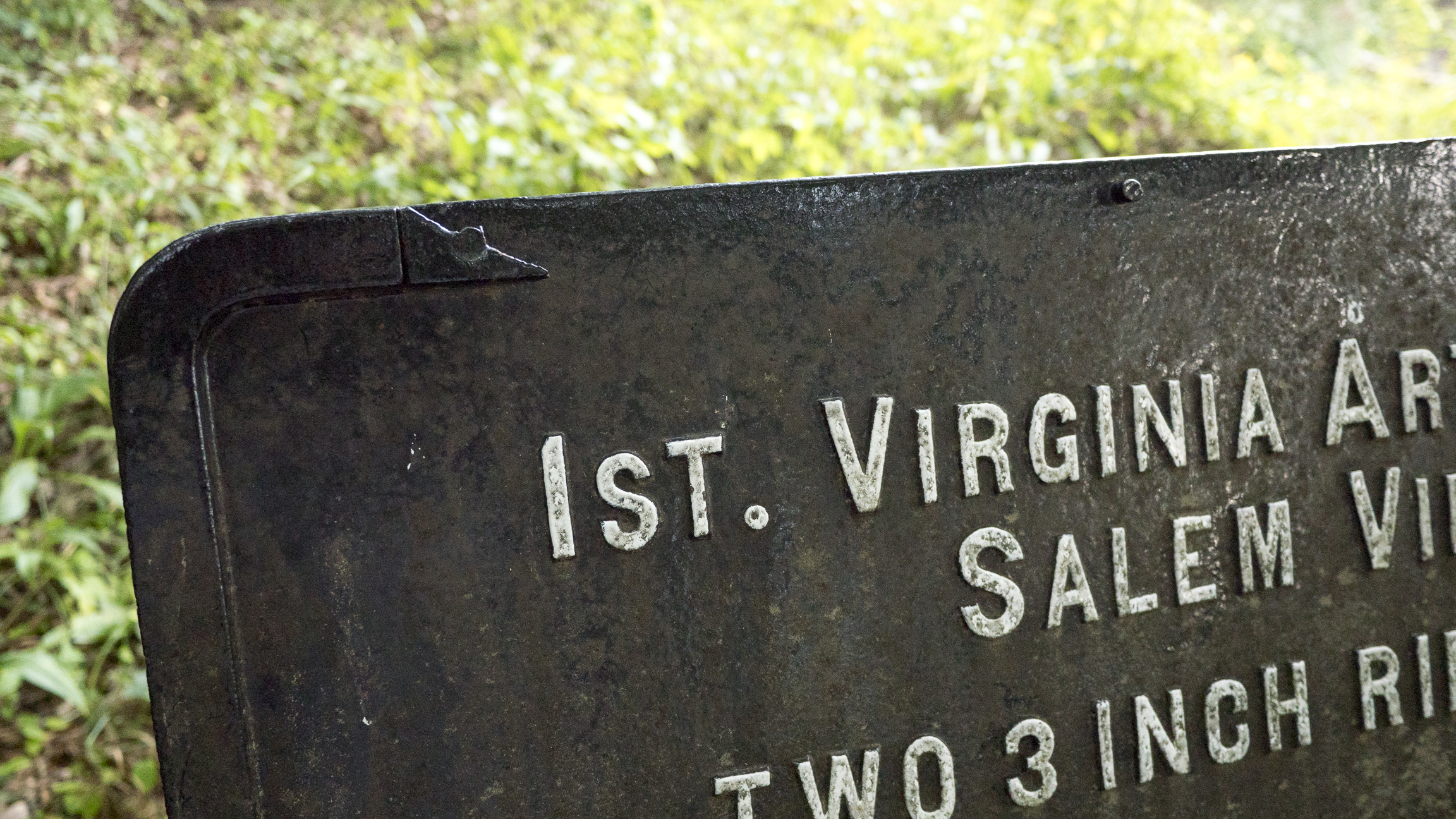
The marker is just ahead. This image was taken facing southeast at approximately 7:30 PM on Wednesday August 10, 2016.

Hupp’s Battery, started in Salem, Virginia, by Captain Abraham Hupp, consisted of two 3-inch riles and two Napoleons. Captain Hupp was not present during the battle. Cancer forced him to leave the army in October of 1862 (he died in September of 1863). The battery was commanded by Lieutenant C.B. Griffin at Gettysburg and was assigned to Dance’s Battalion in the Army of Northern Virginia’s Artillery Reserve. This image was taken facing south at approximately 7:30 PM on Wednesday August 10, 2016.
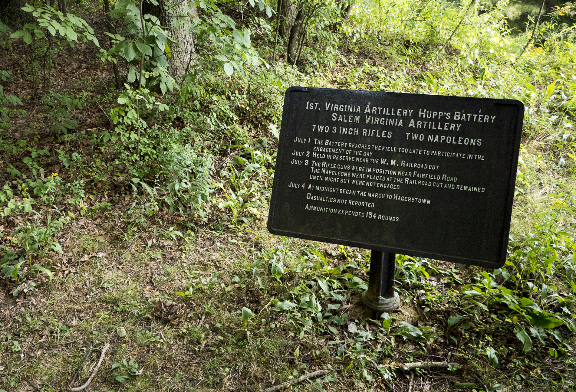
The battalion arrived late on the evening of July 1st and Hupp’s/Griffin’s battery was placed in reserve – it did not fire on July 2nd. Two of the three rifled guns were placed along the Fairfield Road (farther south on Seminary Ridge) on July 3rd to participate in the attack on the Union center. This image was taken facing southeast at approximately 7:30 PM on Wednesday August 10, 2016.

Captain Dance had a hard time knowing if his batteries were effective during Pickett’s Charge: “In this position it was impossible to say what damage was inflicted on the enemy, because, for fear of injuring our infantry in front, we were ordered to fire only solid shot.” This image was taken facing south at approximately 7:30 PM on Wednesday August 10, 2016.
The marker is made of cast iron and is four feet and four inches tall. This was one of approximately 100 markers designed by E.B. Cope and placed on the battlefield in the early 1900s. This image was taken facing southeast at approximately 7:30 PM on Wednesday August 10, 2016.
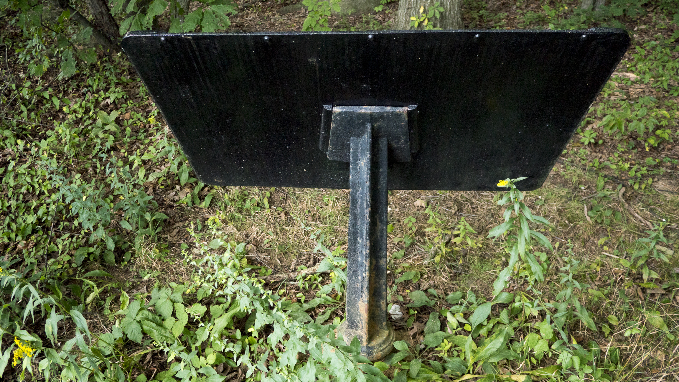
It sits on a fluted cast iron post. This image was taken facing north at approximately 7:30 PM on Wednesday August 10, 2016.

There is a concrete base underneath. This image was taken facing north at approximately 7:30 PM on Wednesday August 10, 2016.
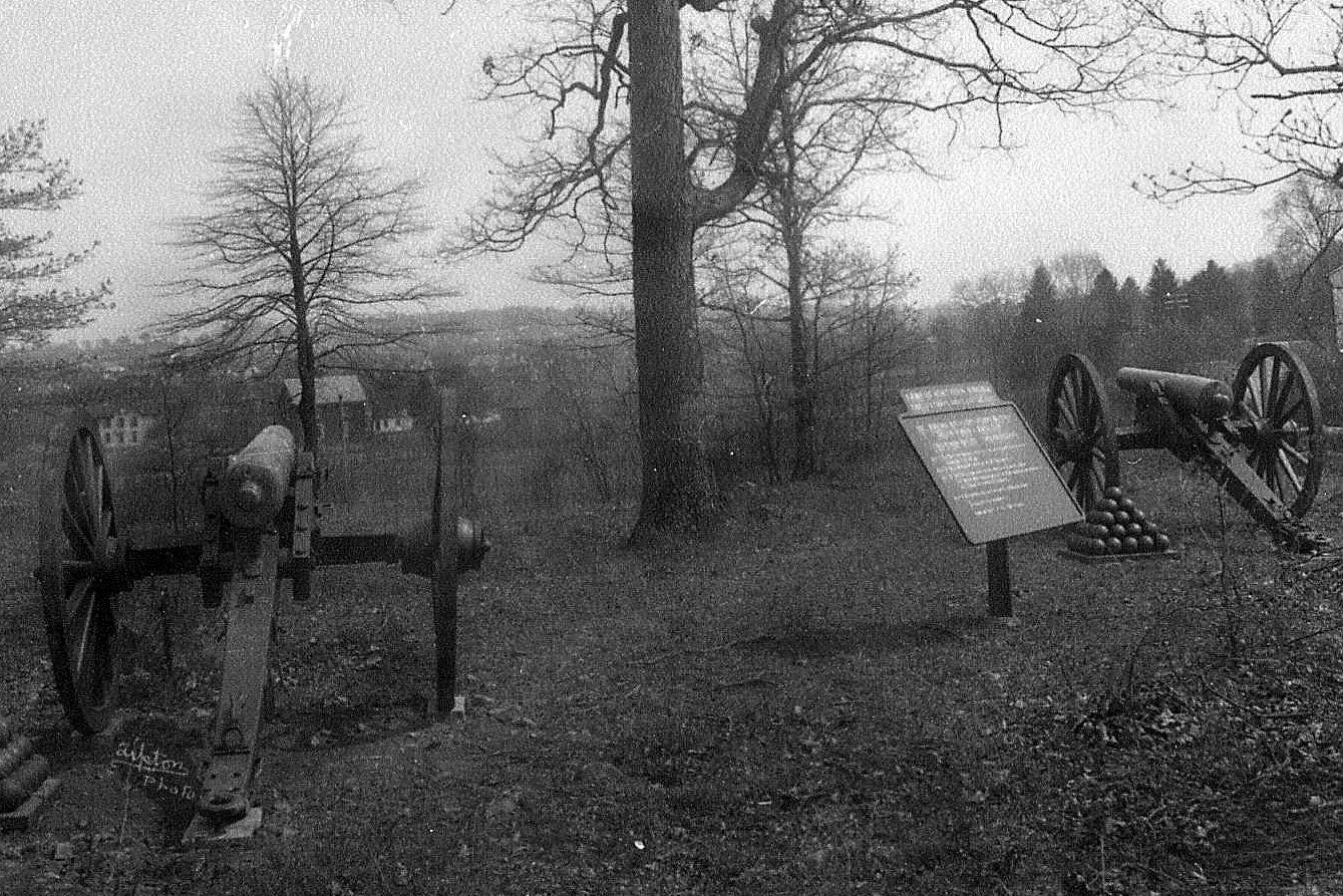
We’re not exactly sure when these Napoleons were removed from the field. The NPS Classified Structures report for the marker says that the two cannon were removed to storage in the 1970s, but a letter to the editor in the Gettysburg Times in 1991 implies that a single cannon was removed later. Notice how much more land there is in front of the marker in this 1911 William Tipton photograph (facing southeast).
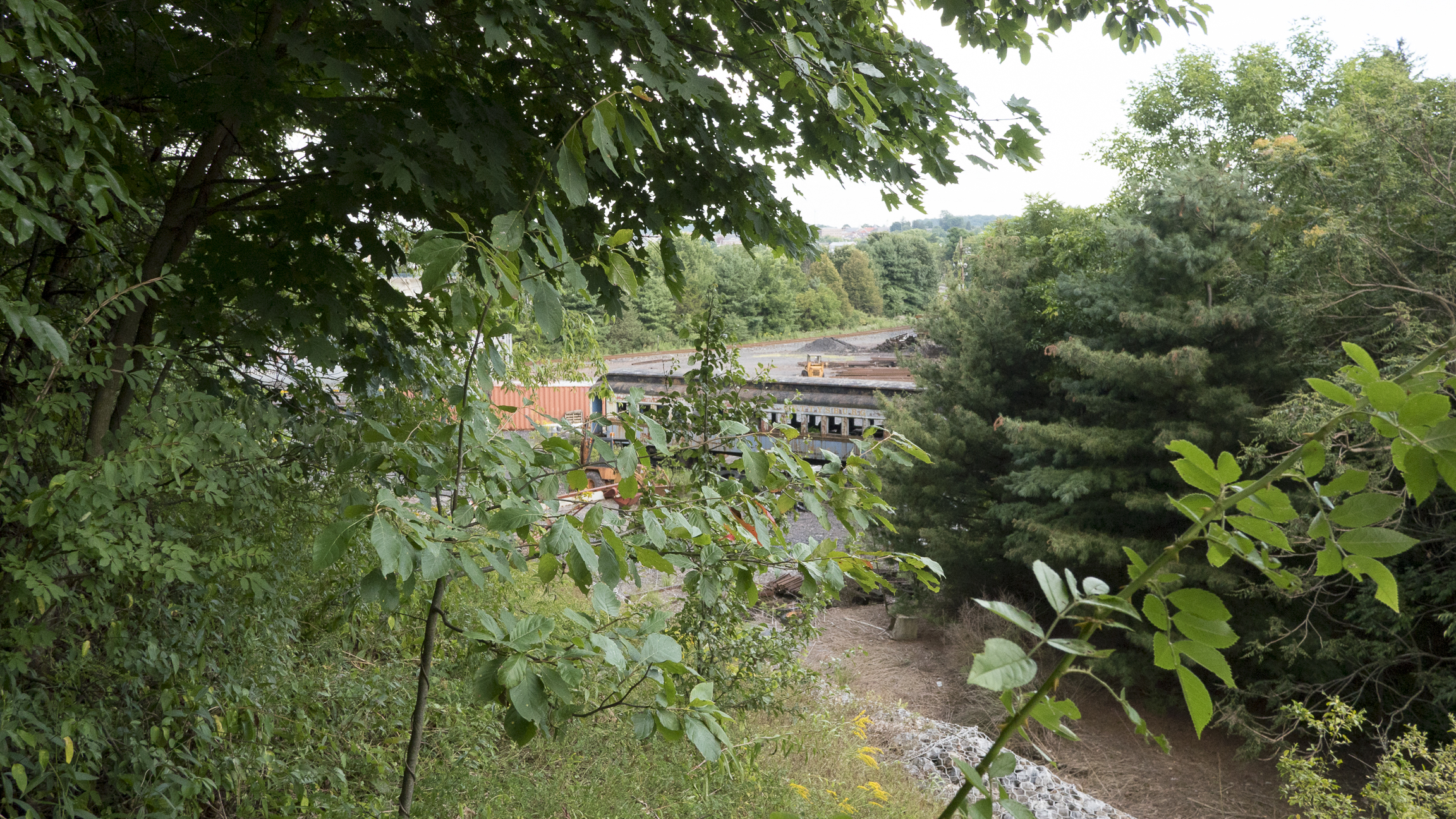
We’re standing on the scene of a land swap in 1990 between the National Park Service and Gettysburg College that resulted in the construction of a railroad spur below us. This sliced off a significant portion of the ridge and changed the ground. We hope to explore that event, including the Congressional Hearing, in the detail it deserves in a later post. We are looking towards the town of Gettysburg in the background. This image was taken facing southeast at approximately 7:30 PM on Wednesday August 10, 2016.

You can see the retaining wall that was constructed when the cut was widened to accommodate the spur. This panoramic image taken facing south at approximately 7:30 PM on Wednesday August 10, 2016.
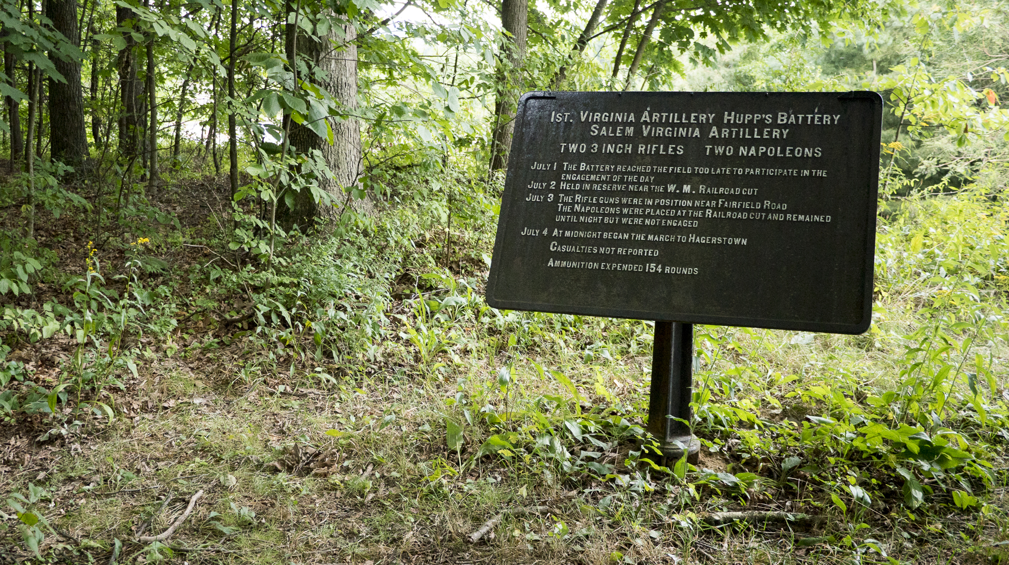
The two Napoleons of Hupp’s Battery “were placed in position on the right of the railroad cut [on July 3rd], and remained there till after dark, but did not fire.” This image was taken facing southeast at approximately 7:30 PM on Wednesday August 10, 2016.