The marker to the 24th Michigan Infantry Regiment of the Iron Brigade is in the right foreground, and East Cemetery Hill and its light blue water tank are in the center background. This view was taken at approximately 4:05 PM on Sunday, October 30, 2011.
On Wednesday we showed you snow photos from the Emmitsburg Road. Today we’ll explore the aftermath of the snowfall at Culp’s Hill.
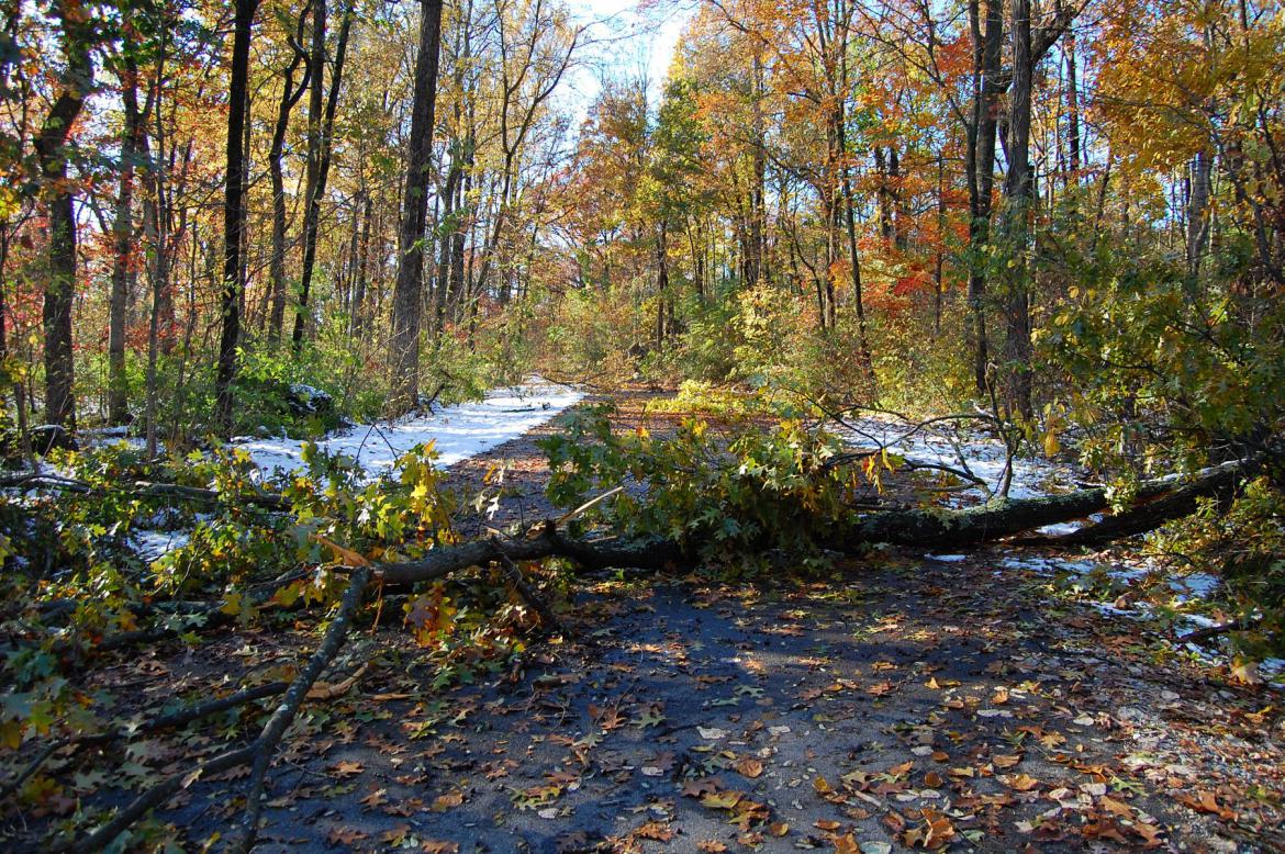
We had heard that fallen trees had closed East Confederate Avenue and decided to take a walk and investigate. This view was taken at approximately 4:05 PM on Sunday, October 30, 2011.
The road was certainly closed. This view was taken facing east at approximately 4:05 PM on Sunday, October 30, 2011.
Local residents used the weekend’s weather as an opportunity for sledding at the old Keefauver Elementary School Building. This view was taken facing east at approximately 4:05 PM on Sunday, October 30, 2011.
Downed limbs and branches were a common sight on Sunday. This view was taken at approximately 4:05 PM on Sunday, October 30, 2011.
The football field at the Gettysburg Area Middle School is in the right background of this photo. This view was taken at approximately 4:05 PM on Sunday, October 30, 2011.
We’ll keep moving along East Confederate Avenue. Turning to our right … This view was taken at approximately 4:05 PM on Sunday, October 30, 2011.
we can see Stevens’ Knoll / McKnight’s Hill … This view was taken at approximately 4:05 PM on Sunday, October 30, 2011.
and East Cemetery Hill thanks to tree cutting performed last year. This view was taken at approximately 4:05 PM on Sunday, October 30, 2011.
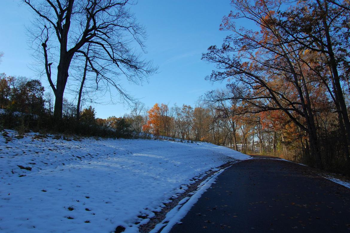
The snow had already begun to melt on Sunday afternoon. This view was taken at approximately 4:05 PM on Sunday, October 30, 2011.
We are now looking back along East Confederate Avenue. This view was taken at approximately 4:05 PM on Sunday, October 30, 2011.
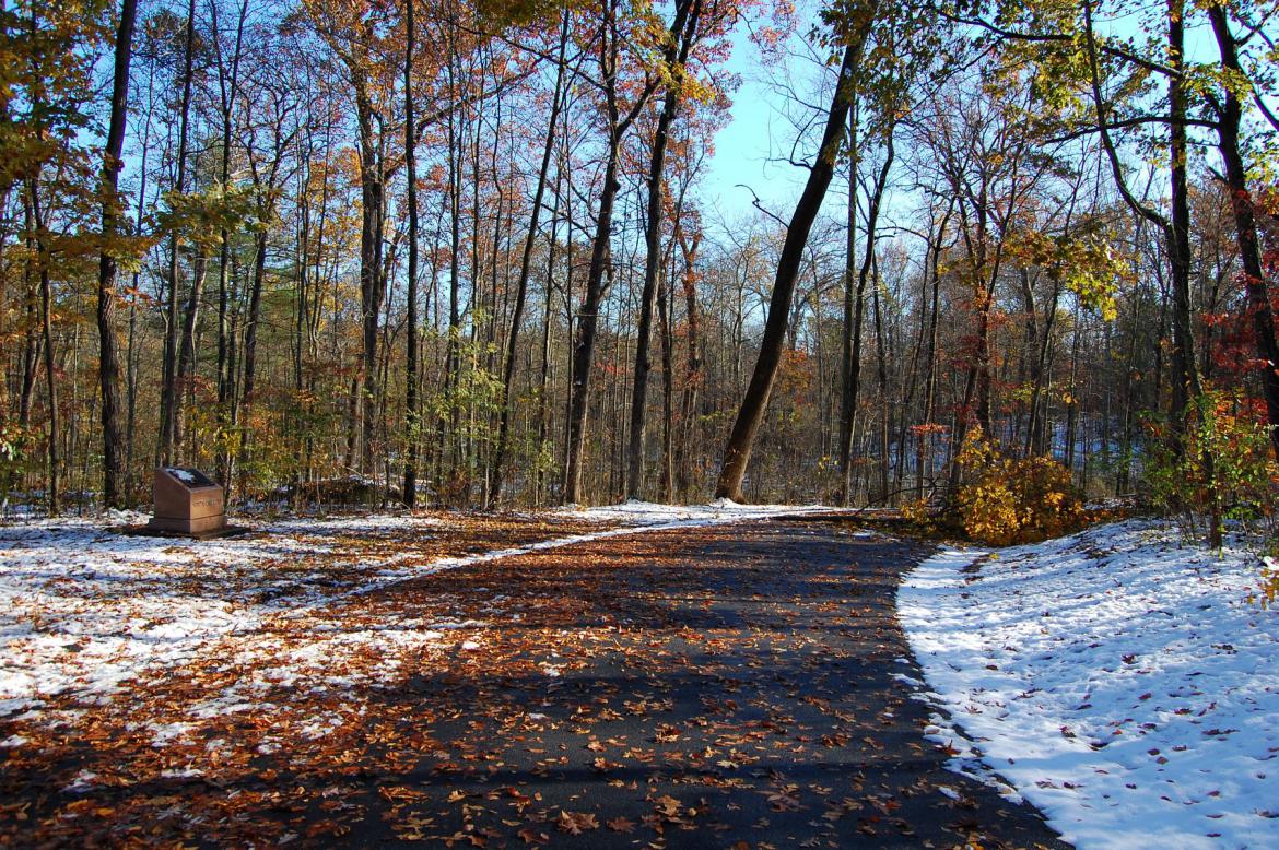
Coming up on our left … This view was taken at approximately 4:05 PM on Sunday, October 30, 2011.
… is the marker to Johnson’s Division. This view was taken at approximately 4:05 PM on Sunday, October 30, 2011.
The fall leaves covered the road as we approached the 43rd North Carolina monument. This view was taken at approximately 4:05 PM on Sunday, October 30, 2011.
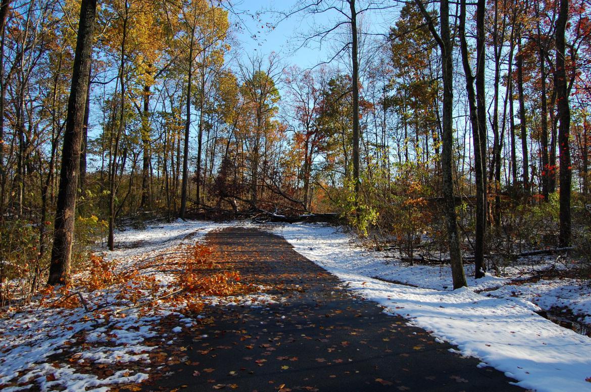
Here was the first downed tree that blocked the roadway. This view was taken at approximately 4:05 PM on Sunday, October 30, 2011.
Not so bad, and easy to walk around. This view was taken at approximately 4:05 PM on Sunday, October 30, 2011.
As we rounded the next corner though … This view was taken at approximately 4:05 PM on Sunday, October 30, 2011.
… We ran into this tree, which had fallen directly across the road. This view was taken at approximately 4:05 PM on Sunday, October 30, 2011.
The only way across was to head through the downed tree … This view was taken at approximately 4:05 PM on Sunday, October 30, 2011.
… and we weren’t the only ones who had already ducked their way through. This view was taken at approximately 4:05 PM on Sunday, October 30, 2011.
We are now looking back at the larger downed tree. This view was taken at approximately 4:05 PM on Sunday, October 30, 2011.
We’ll make a right turn as we pass Spangler’s Spring (in the distance) … This view was taken at approximately 4:05 PM on Sunday, October 30, 2011.
… and pass the 1st Maryland Potomac Home Brigade monument. This view was taken at approximately 4:05 PM on Sunday, October 30, 2011.
This view was taken at approximately 4:05 PM on Sunday, October 30, 2011.
This view was taken at approximately 4:05 PM on Sunday, October 30, 2011.
This view was taken at approximately 4:05 PM on Sunday, October 30, 2011.
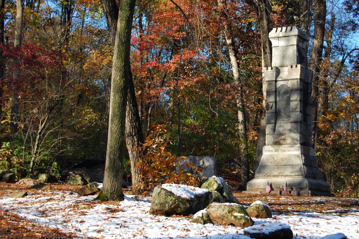
The next tree we ran into was here, next to the 150th New York monument, which is just out of this view to the right of the road. This view was taken at approximately 4:05 PM on Sunday, October 30, 2011.
This view was taken at approximately 4:05 PM on Sunday, October 30, 2011.
And the final reason for the road’s closure on Sunday was this tree … This view was taken at approximately 4:05 PM on Sunday, October 30, 2011.
… which had also fallen directly across the road. This view was taken at approximately 4:05 PM on Sunday, October 30, 2011.
This view was taken at approximately 4:05 PM on Sunday, October 30, 2011.
Because of the closed road the Culp’s Hill observation tower was deserted. Most of the local walkers that frequent the area don’t elect to climb the tower. This view was taken at approximately 4:05 PM on Sunday, October 30, 2011.
We emerged from the tree cover on Slocum Avenue after climbing around the last downed tree. East Cemetery Hill is in the center background. The Evergreen Cemetery Gatehouse is also visible in the left-hand portion of this photo. This view was taken at approximately 4:05 PM on Sunday, October 30, 2011.
Here’s a closer look at the Iron Brigade marker to the 24th Michigan, which was shown in the first photo of this post. This view was taken at approximately 4:05 PM on Sunday, October 30, 2011.
Stevens’ 5th Maine Battery and the Slocum equestrian statue on Stevens’ Knoll / McKnight’s Hill. This view was taken at approximately 4:05 PM on Sunday, October 30, 2011.
East Confederate Avenue remained closed on Monday, and the National Park Service was able to re-open the road and clear the fallen trees by Tuesday. Next week we’ll be bringing you an update on the damage caused to the 121st New York monument and the artillery tube on West Confederate Aveue by the storm. This view was taken at approximately 4:05 PM on Sunday, October 30, 2011.


