Licensed Battlefield Guide Eric Lindblade showed us the ground the 26th North Carolina would have crossed as they advanced towards Willoughby’s Run in Part 2 of this series. In our first video for today’s posting, Video #5 in the series, Eric is back at the 26th North Carolina monument on Meredith Avenue.This video was taken at approximately 9:30 AM on Wednesday, March 29, 2017.
Licensed Battlefield Guide Eric Lindblade was born and raised in North Carolina. He began his study of the Civil War after a trip to Gettysburg when he was six years old. He attended East Carolina University and is the author of “Fight As Long As Possible: The Battle of Newport Barracks” (2010). His next book “The 26th North Carolina, 1861-1865: A Regimental History” is expected to be released in 2018. Eric is the host for our series on the 26th North Carolina. If you would like to contact Eric, you can click here to reveal his email address.
A map showing the location of Videos #5-8. Previous posts in this series: Part 1 [the 26th North Carolina starts July 1], Part 2 [the 26th North Carolina moves out towards McPherson’s Ridge].This map was created in a chair facing east on April 9, 2017.
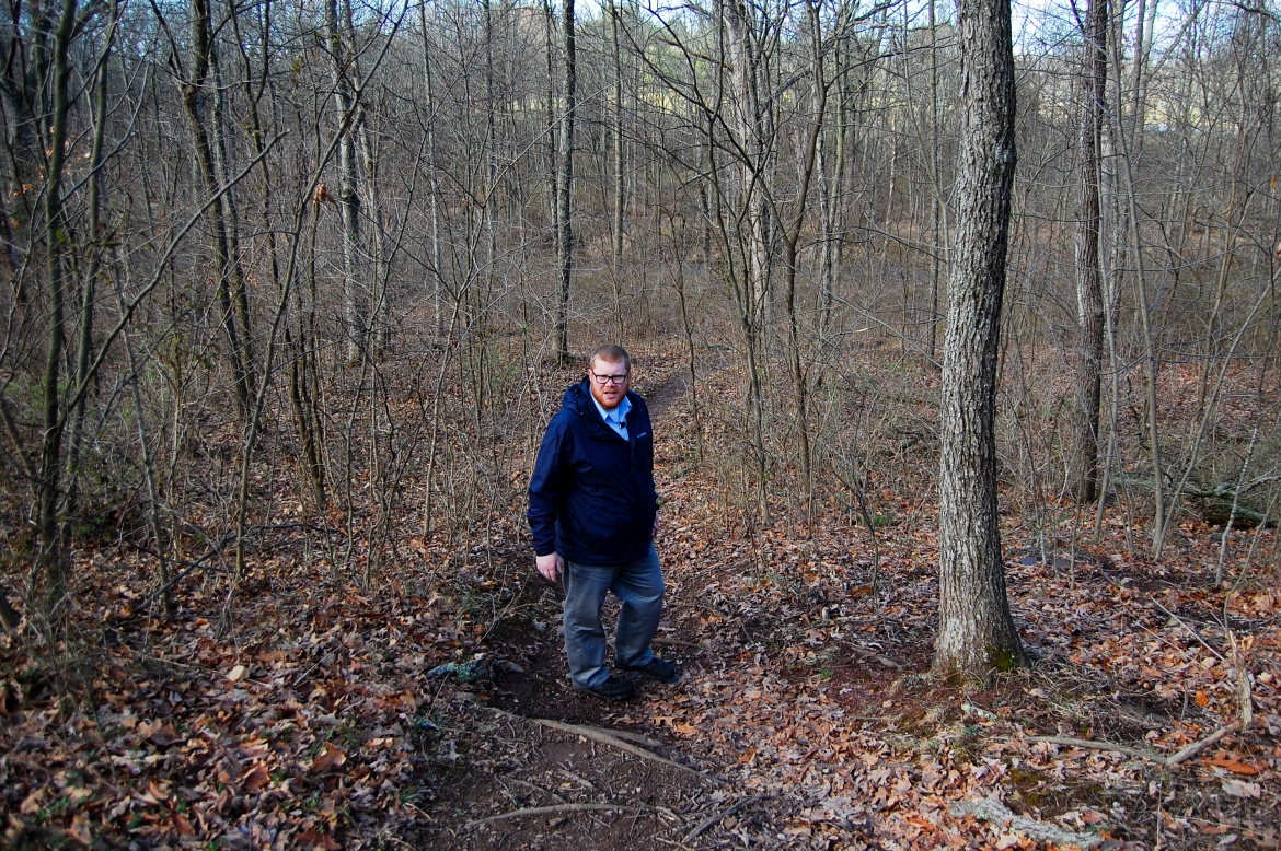
Eric is waiting for us to catch up as we descend the trail toward Willoughby’s Run.This view was taken facing west at approximately 9:30 AM on Wednesday, March 29, 2017.
In Video #6, Eric explains what happened to the 26th North Carolina as they crossed Willoughby’s Run.This video was taken at approximately 9:30 AM on Wednesday, March 29, 2017.
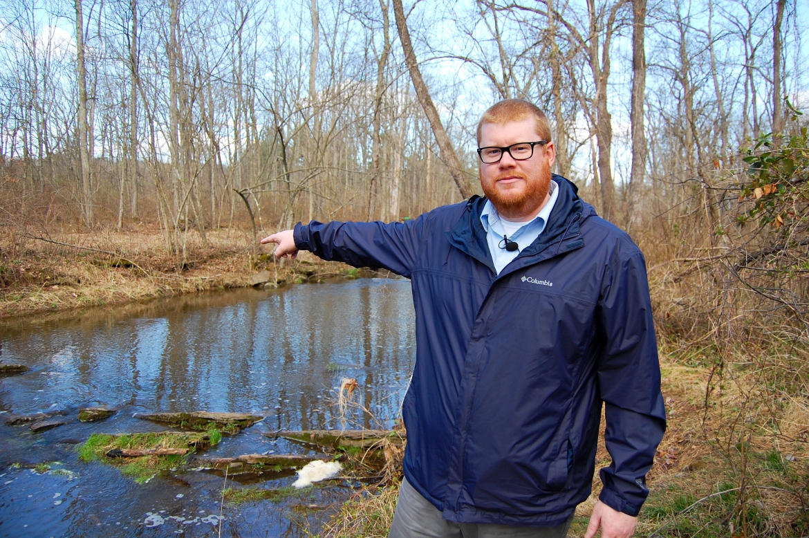
Eric is pointing across Willoughby’s Run, where the 26th North Carolina would have advanced in their attack against the Iron Brigade on July 1st.This view was taken facing northwest at approximately 8:30 AM on Wednesday, March 29, 2017.
Video #7: The 26th North Carolina suffered its highest amount of casualties on July 1st between Willoughby’s Run and modern day Meredith Avenue.This video was taken facing east at approximately 8:30 AM on Wednesday, March 29, 2017.
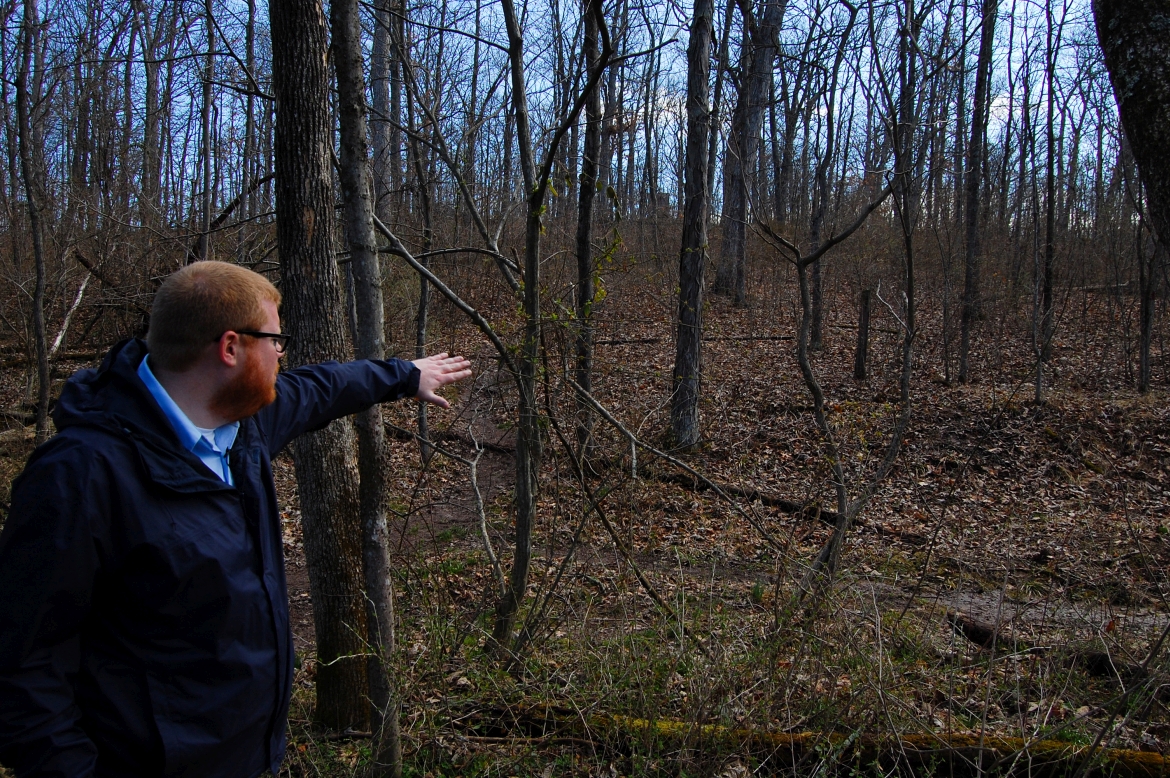
Herbst’s/Reynolds’/McPherson’s Woods sits on the southern end of the western arm of McPherson’s Ridge. This is a view the 26th North Carolina would have had as their left and center attacked the 24th Michigan, positioned on the military crest of the ridge in the background. The 26th North Carolina’s monument on Meredith Avenue is visible through the trees in the center of this photo.This view was taken facing east at approximately 8:30 AM on Wednesday, March 29, 2017.
Video #8: We’ve walked halfway back up the trail towards Meredith Avenue. Eric describes how the advance stopped in this area and examines accounts surrounding the 26th North Carolina’s colors.This video was taken at approximately 8:30 AM on Wednesday, March 29, 2017.


