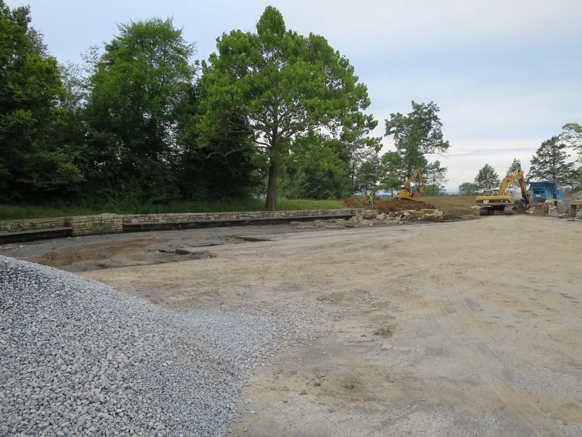
As part of the National Park Service’s professed goal of turning the Gettysburg Battlefield back to its 1863 appearance, this 1960s era wall will remain in place at the National Cemetery Parking Lot. This view was taken facing southwest at approximately 7:30 AM on Wednesday, August 3, 2016.
This aerial view shows the area of area of the old Cyclorama Visitor Center that is being reconstructed on Cemetery Ridge. The red star is the spot where the “retaining walls” will remain near the Maryland and the Delaware state monuments.. This image is courtesy of googlemaps.
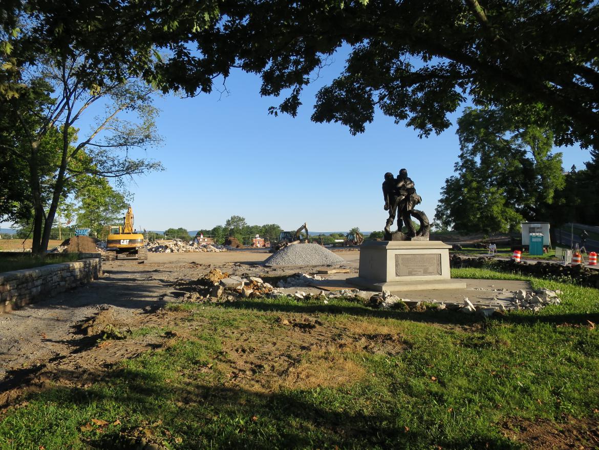
The National Park Service is justifying keeping the wall in place as a “retaining wall” to protect the Maryland State Monument on the left, and the Delaware State Monument in the center background. This image was taken facing south at approximately 7:30 AM on Wednesday, August 3, 2016.
First of all, we don’t think that the Maryland State Monument and the Delaware State Monument should be here. However, National Park Service spokesperson Katie Lawhon told us, “The Maryland and Delaware state memorials are commemorative, meaning they honor soldiers of those states who fought in many areas of the Gettysburg battlefield, as opposed to site-specific monuments to individual units that mark the lines of battle. In the 1990s the park selected this site for commemorative monuments due to its proximity to the highly traveled Taneytown Road and the nearby national cemetery.” This image was taken facing south at approximately 7:30 AM on Wednesday, August 3, 2016.
First of all, we doubt that many visitors flying by the monuments on the “highly traveled Taneytown Road” get out to see them. The monuments are fairly well out of sight of the Taneytown Road, especially at 30-45 miles an hour. They are located in the right background behind this tree that the Park Service tells us is a “witness tree” and are behind the trailer. By the time most people going south on the Taneytown Road see these monuments, they have already passed the entrance to the parking lot. This view was taken facing south at approximately 7:30 AM on Sunday, August 7, 2016.
The 1994 Maryland State Monument depicts a Maryland Confederate Soldier and a Maryland United States Soldier helping each other off the battlefield. Instead of hiding the monument at this location, place it where it could have a significant impact on a visitor’s experience. This image was taken facing south at approximately 7:30 AM on Wednesday August 3, 2016.
For instance, how about here on Culps Hill where Confederate Maryland soldiers fought against Union Maryland soldiers? The marker on the front right is the advance marker for the 2nd Maryland Infantry Regiment. The woods to the front and the right were occupied by Union Maryland soldiers when the Confederates charged here. This image was taken facing west at approximately 10:00 AM on Sunday, May 17, 2009.
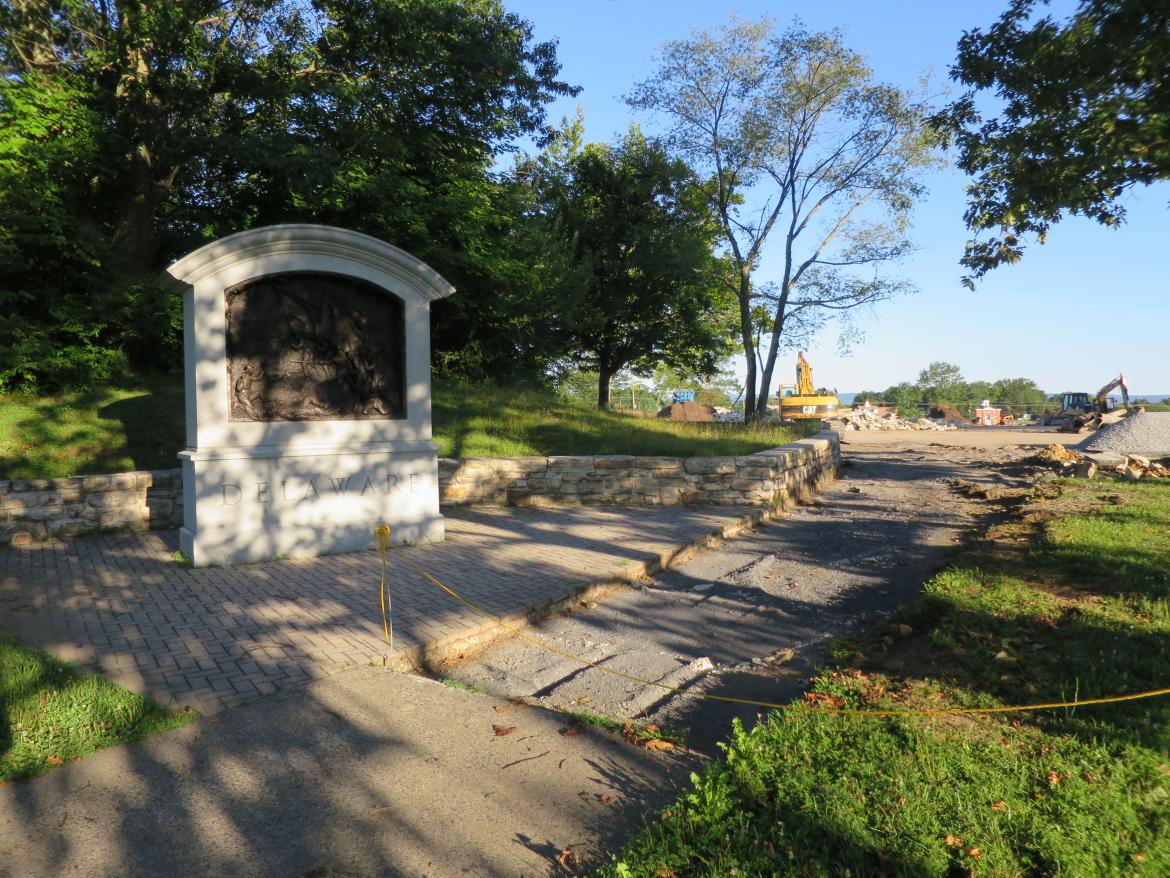
And why not place the 2000 Delaware State Monument near a position where both the 1st and 2nd Delaware Regiments were located at one point during the battle? This image was taken facing southwest at approximately 7:30 AM on Wednesday August 3, 2016.
How about here on Cemetery Ridge? The monument on the far left between the sidewalk and to the stone wall is to the 1st Delaware Infantry Regiment. Near it is a small marker for skirmishers from the 2nd Delaware Infantry Regiment, the only two military units from Delaware that fought on the Gettysburg Battlefield. Remember, monuments can be great interpretive tools. This view was taken facing southwest at approximately 7:30 AM on Friday June 20, 2014.
For example, the front of this monument shows the fighting around the Bliss Farm, which was located in the fields between Cemetery Ridge and Seminary Ridge. The back of the monument lists the name of every soldier in the 1st and 2nd Delaware regiments. This view was taken facing west at approximately 8:00 AM on Friday June 22, 2012.
If you moved the monuments, would you need this retaining wall? This view was taken facing northwest at approximately 7:30 AM on Sunday August 7, 2016.
Of course, when you sit back and think about it, a lot of the monuments at Gettysburg are placed on slopes of hills or small rises. One might even say that “high ground” is a theme pertaining to the Battle of Gettysburg. These and almost all of the other monuments don’t have retaining walls protecting them. This view was taken facing northeast at approximately 4:30 PM on Friday April 25, 2016.
So what is the real reason that these monuments have a retaining wall from the 1960s left up to protect them? This view was taken facing northwest at approximately 7:30 AM on Sunday August 7, 2016.
Especially since new signs have gone up promoting the parking lot redo and the Hancock Gate construction as “Battlefield Rehabilitation.” This view was taken facing northwest at approximately 11:00 AM on Wednesday, August 17, 2016.
Ha Ha Ha. Ha. This view was taken facing west at approximately 11:00 AM on Wednesday, August 17, 2016.
We suspect that the real reason that the “retaining wall” is being left here is because this is where there are four spots to park buses. The concrete projects into the dirt at the four bus parking spaces. This view was taken facing west at approximately 7:30 AM on Wednesday, August 3, 2016.
Buses park here, and the National Park Service wants to make sure that bus groups have a place to take a break and sit and eat after they got off the bus. Notice the benches built into the wall. This view was taken facing southwest at approximately 7:30 AM on Wednesday, August 3, 2016.
Bus groups have been using the benches for a while. The NPS wants to get rid of the Cyclorama-era features unless it’s inconvenient for them to do so. This view from the top of the old Cyclorama building shows the Cyclorama parking lot approximately five years after it opened. This image was taken facing northeast circa 1967. This image is courtesy of the National Park Service.
So in our opinion, to save the benches, you need to save the 1960s wall. This view was taken facing southwest at approximately 7:30 AM on Wednesday, August 3, 2016.
The monuments can now be used as the excuse to save the 1960s wall. This view was taken facing south at approximately 7:30 AM on Sunday August 7, 2016, 2016.
“Battlefield Rehabilitation” at its finest. This view was taken facing northwest at approximately 7:30 AM on Wednesday, August 3, 2016.


