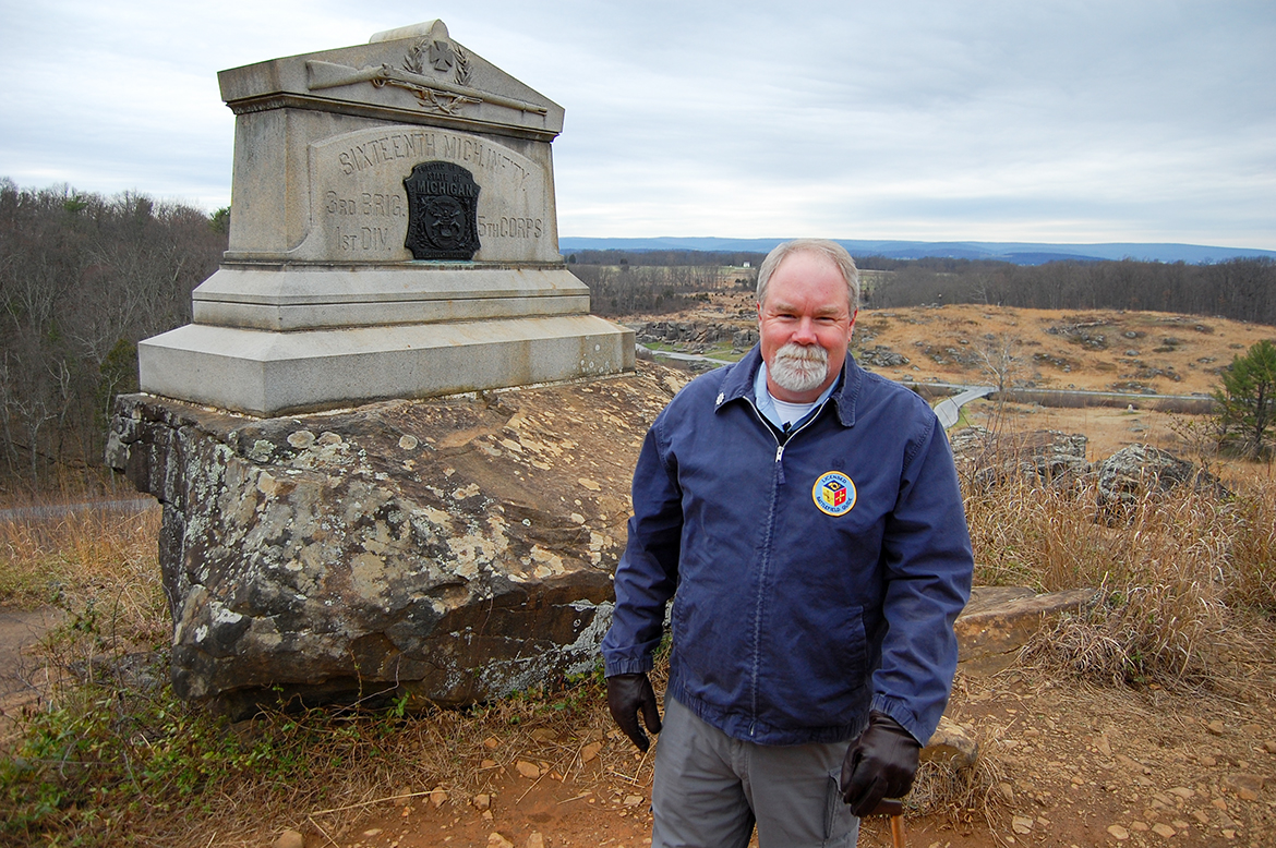
Licensed Battlefield Guide Stuart Dempsey, our host for this series on the 16th Michigan Infantry, is standing next to the 16th’s monument on Little Round Top. To contact Stuart Dempsey, click here to reveal his email address. In addition to tours at Gettysburg National Military Park, Stuart also conducts tours at other historic sites in North America and Europe. He invites you to have a look at his website: www.battlegroundhistorytours.com.Devil’s Den/Houck’s Ridge are in the right background (Crawford Avenue running right to left). This view was taken facing southwest at approximately 10:00 AM on Wednesday, March 29, 2017.
A map showing the location of Videos #5 and #6. Previous posts in our series on the 16th Michigan: Part 1 [the regiment’s history prior to Gettysburg and its arrival at Power’s Hill], Part 2 [the 16th Michigan’s initial deployment on the left of the line at Little Round Top].This map was created in a chair facing east on April 12, 2017.
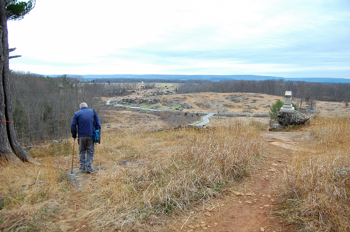
Stuart is walking towards the position the 16th Michigan would take when they were moved to the right of the brigade on the afternoon of July 2nd, 1863. The tree in the left of frame was marked with a ribbon to indicate that it is likely a witness tree and required protection during Monday’s controlled burn.This view was taken facing west at approximately 10:00 AM on Wednesday, March 29, 2017.
By the time the 16th Michigan gets into position on the brigade right the assault of Little Round Top had already begun. In Video #5 Licensed Battllefield Guide Stuart Dempsey describes what the 16th Michigan was up against.This video was taken at approximately 10:00 AM on Wednesday, March 29, 2017.
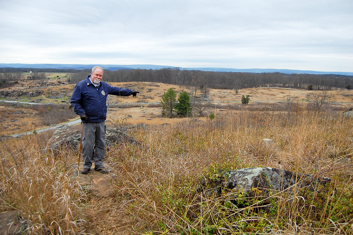
Stuart is pointing to the right flank marker of the 16th Michigan.This video was taken facing west at approximately 10:00 AM on Wednesday, March 29, 2017.
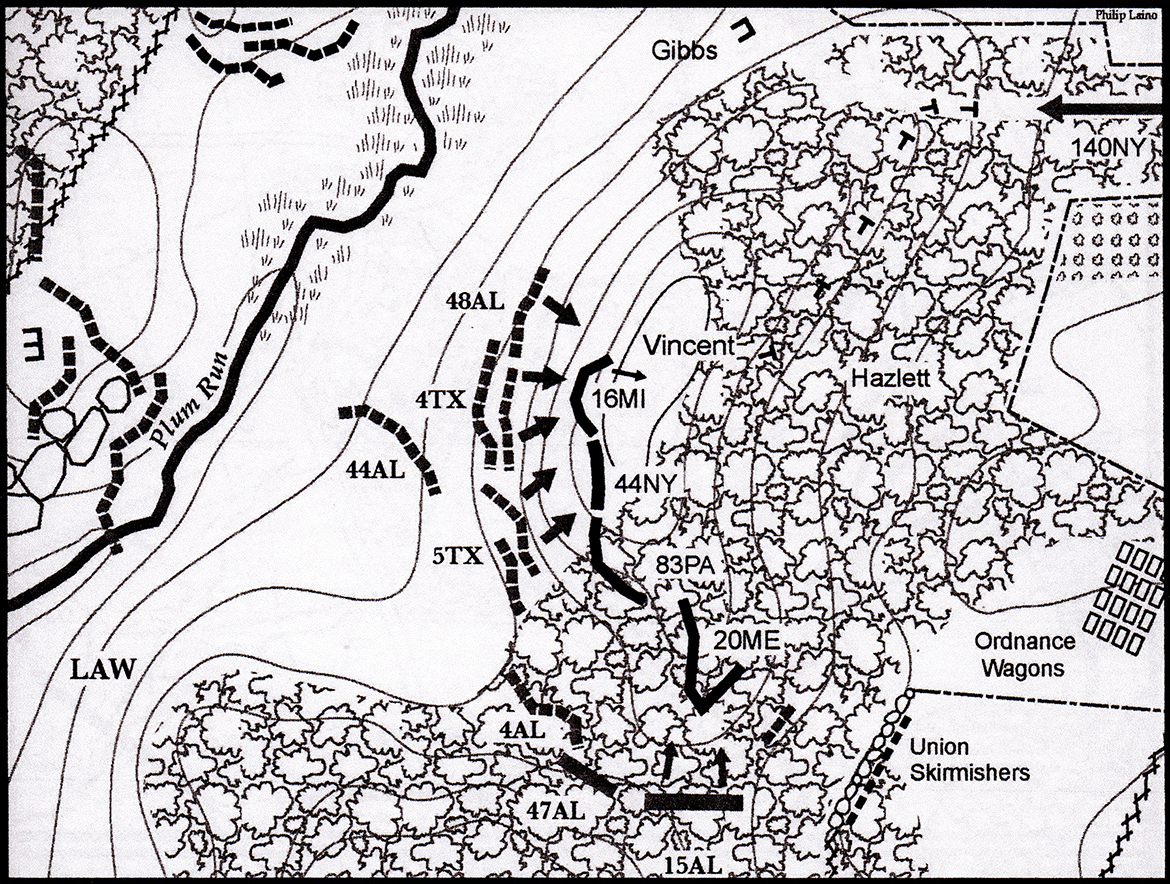
This map from Phil Laino’s Gettysburg Campaign Atlas shows the position of the 16th Michigan on the brigade right, prior the arrival of the 140th New York (top right). This map represents the position of regiments on Little Round Top at approximately 5:30 to 5:45 PM.
This map was used with the permission of Phil Laino and appears in his Gettysburg Campaign Atlas.
This map was used with the permission of Phil Laino and appears in his Gettysburg Campaign Atlas.
Video #6: Licensed Battlefield Guide Stuart Dempsey describes the retreat that occurred on the 16th Michigan’s right flank.This video was taken at approximately 10:00 AM on Wednesday, March 29, 2017.
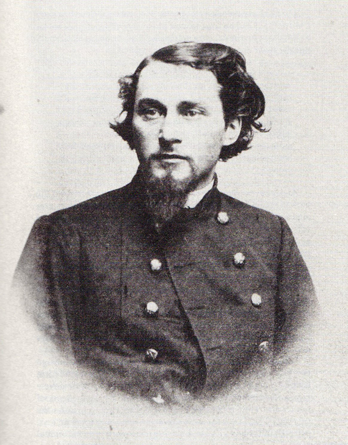
Lieutenant-Colonel Norvel Welch.This image is courtesy of Stuart Dempsey.

