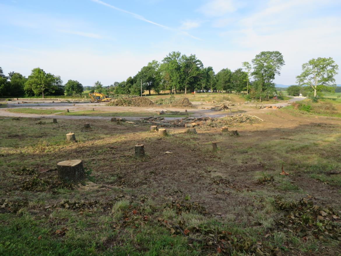
The National Park Service is cutting down trees in the area of the old Cyclorama Center parking lot, which is now the National Cemetery Parking lot in order to reduce the size of the parking lot, to restore a ravine that was in this location at the time of the battle. This view was taken facing southwest at approximately 7:30 AM on Saturday, July 16, 2016.
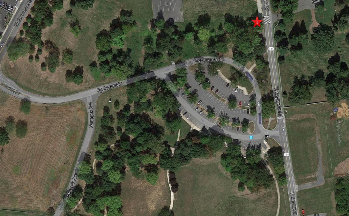
This aerial view shows the area of the old Cyclorama parking lot, and what is now the current National Cemetery parking lot. The parking area will be significantly reduced during this current restoration. The red star is the spot from which the previous photograph was taken. This image is courtesy of googlemaps.
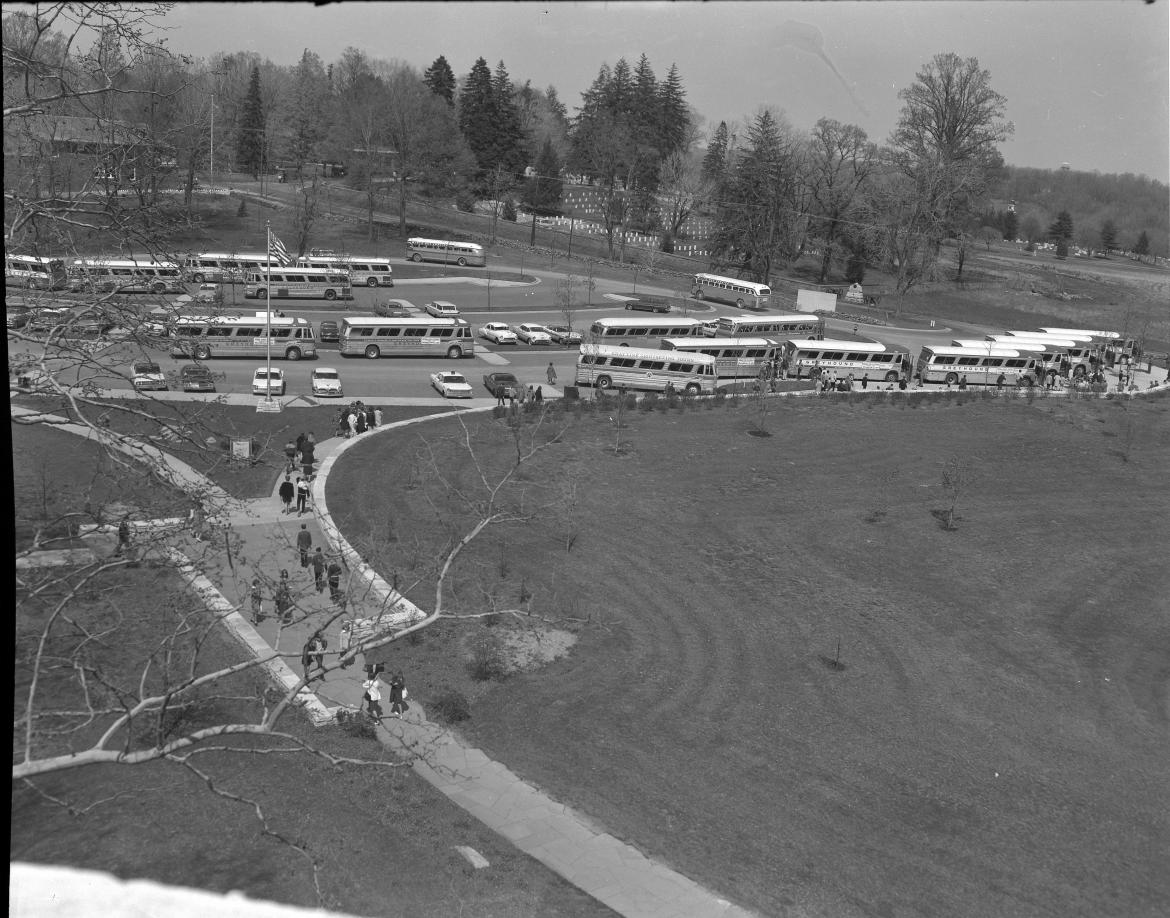
This view from the top of the old Cyclorama building shows the Cyclorama parking lot approximately five years after it opened. This image was taken facing northeast circa 1967. This image is courtesy of the National Park Service.
Here is a panorama taken on the west side of the Taneytown Road, not too far from the National Cemetery entrance. This view was taken from the southeast on the left to west on the right at approximately 7:30 AM on May 26, 2014.
For a comparison to the previous panorama, we present a recent panorama of the area that is being restored. The location is a little farther north of the previous panorama. This view was taken facing southeast on the left to west on the right at approximately 7:30 AM on Saturday, July 16, 2016.
We walked around the parking lot the day before the restoration work began. This panorama starts on the sidewalk that leads from the Cemetery (behind the camera) to the parking lot. This view was facing southeast on the left to northwest on the right at approximately 7:30 AM on Saturday, July 16, 2016.
For this panorama we are standing on Cyclorama Drive. The trees that were cut down this week and the old Electric Map Visitor Center location are behind the camera. This view was taken facing east on the left to west on the right at approximately 7:30 AM on Saturday, July 16, 2016.
This panorama is farther to the west on Cyclorama Drive than the previous panorama. On the right is a couple walking on Hancock Avenue. Today there is a concrete barrier across Hancock Avenue to keep vehicles from entering the parking lot area. This view was taken facing northeast on the left to southwest on the right at approximately 7:30 AM on Saturday, July 16, 2016.
Here is a panorama of the west end of the parking lot. Hancock Avenue is behind the camera. This view was taken facing northeast on the left to southeast on the right at approximately 7:30 AM on Saturday, July 16, 2016.
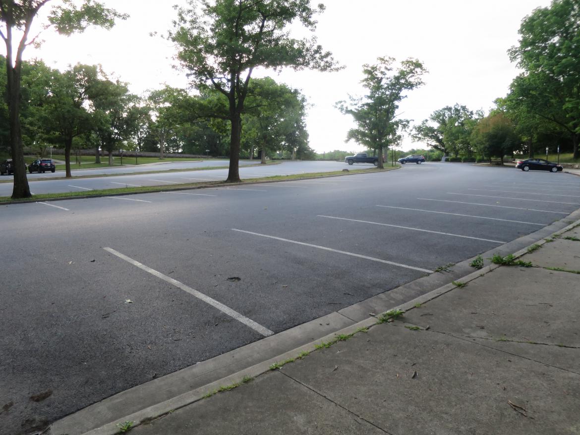
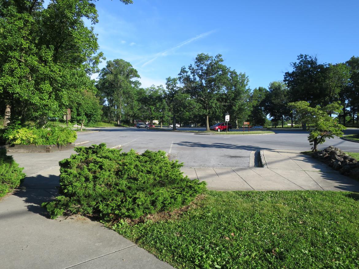
Here is a view of the southwest side of the parking lot on its last day as a parking lot. This view was taken facing northeast at approximately 7:30 AM on Saturday, July 16, 2016.
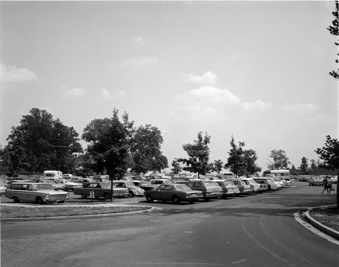
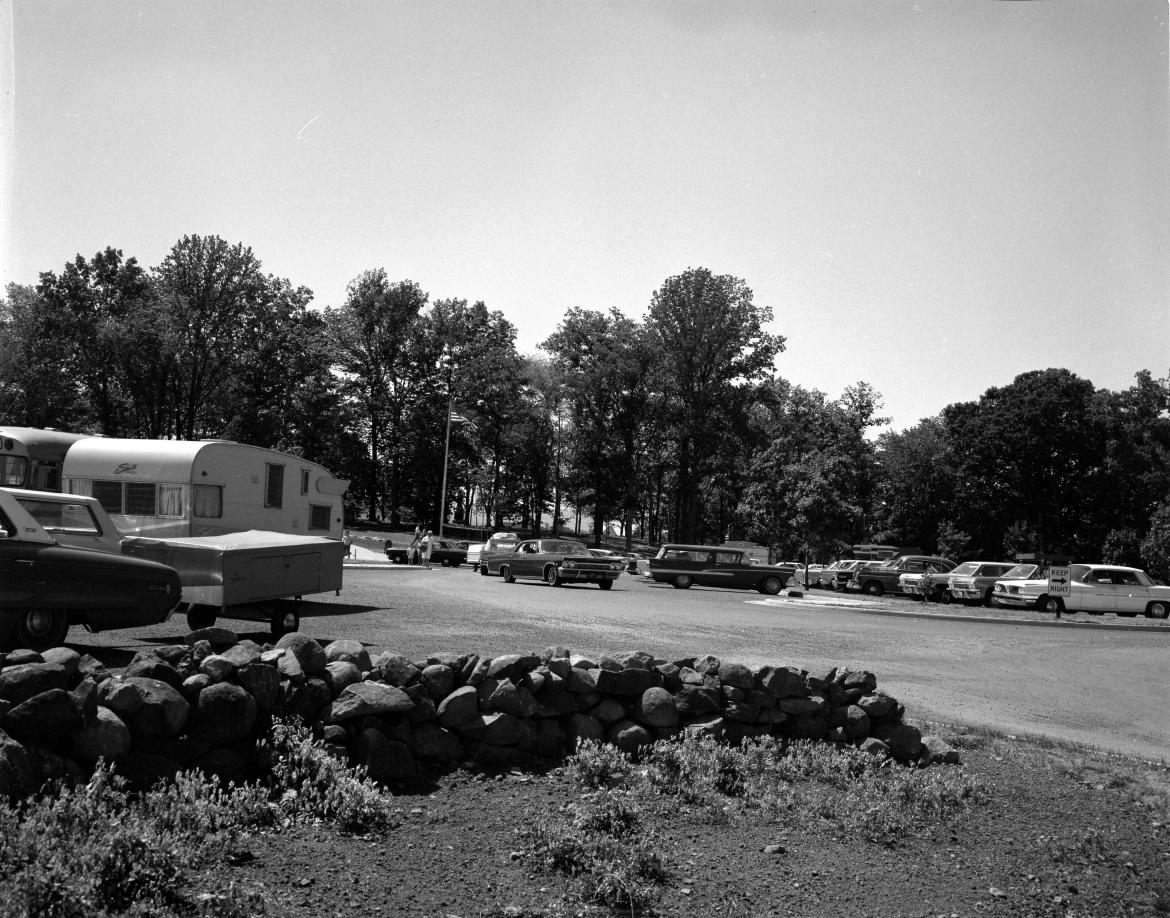
Here is a similar view of the previous picture taken soon after the parking lot was open. The time period was probably a couple of years after the opening. This view was taken facing northeast on a summer day circa 1967. This image is courtesy of the National Park Service.
This is a panorama of the south side of the parking lot. The flagpole is behind us, and the National Cemetery is ahead of us. This view was taken facing northwest on the left to southeast on the right at approximately 7:30 AM on Saturday, July 16, 2016.
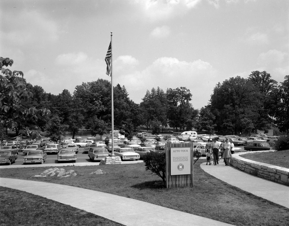
This is a similar view that we had on the previous panorama. The cameraman was standing behind (south of) the flagpole. This view was taken facing northeast on a summer day circa 1967. This image is courtesy of the National Park Service.
This is the southeast section of the parking lot. The Maryland State Monument is behind the camera position. The spaces in the foreground were for buses. This view was taken facing northwest at approximately 7:30 AM on Saturday, July 2, 2016.
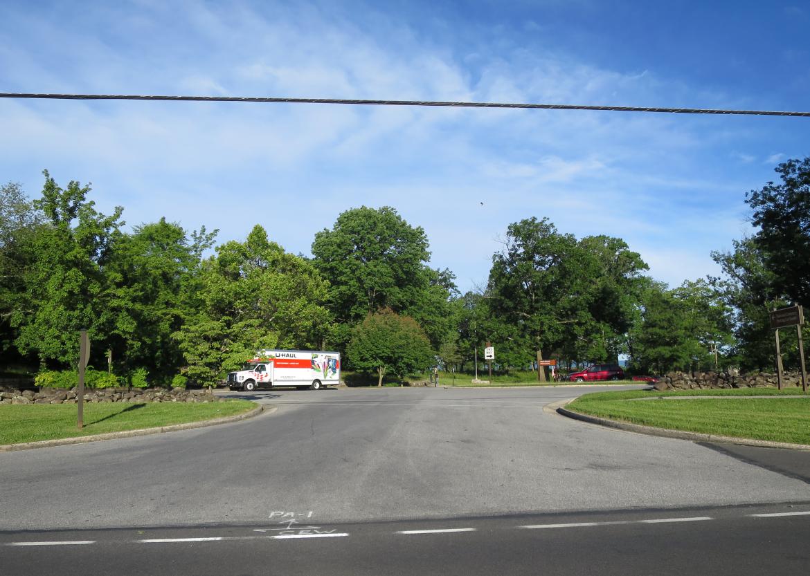
The camera position is on the Taneytown Road across from the entrance to the Cyclorama Parking Lot. This view was taken facing west at approximately 7:30 AM on Saturday, July 2, 2016.
This is a similar view that we had on the previous photo. The flagpole can be seen in the center of both photos. This view was taken facing slightly southwest on a summer day circa 1963. This image is courtesy of the National Park Service.

